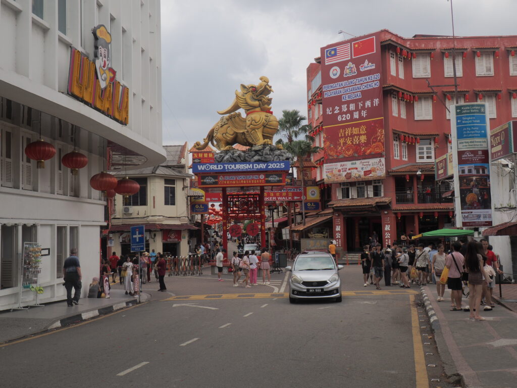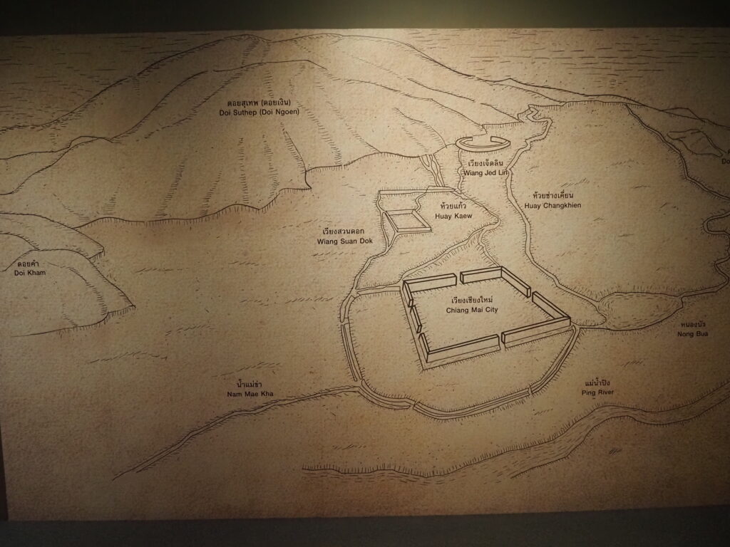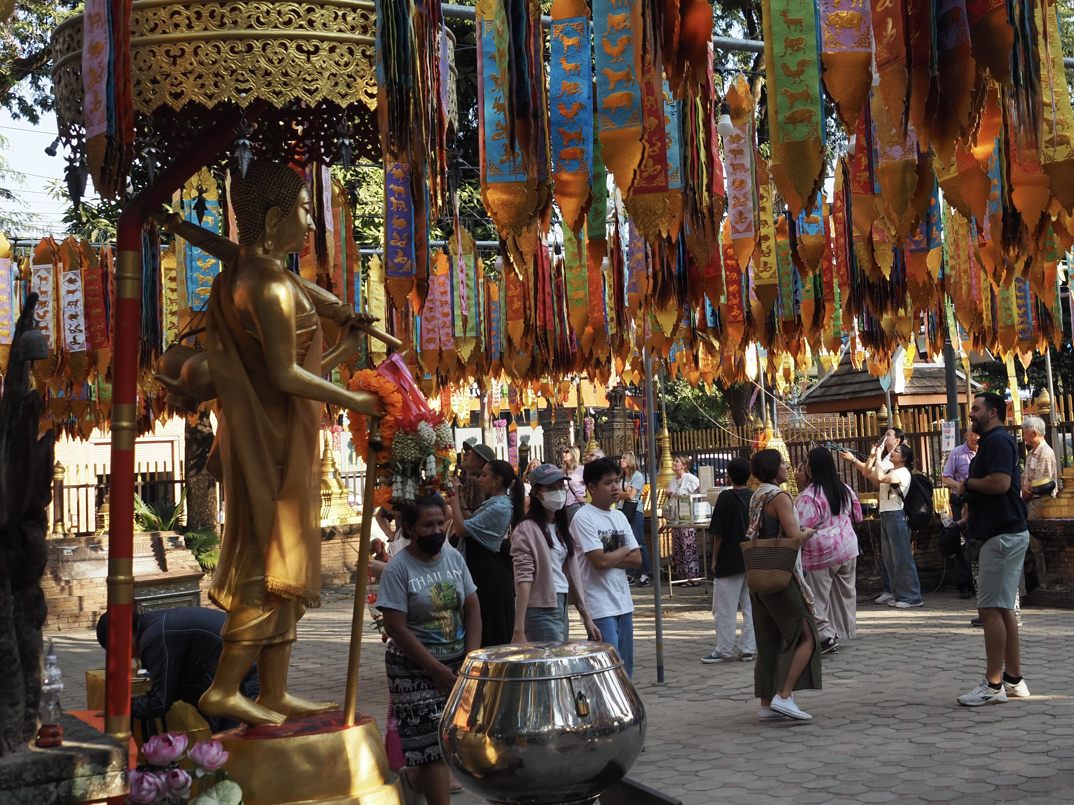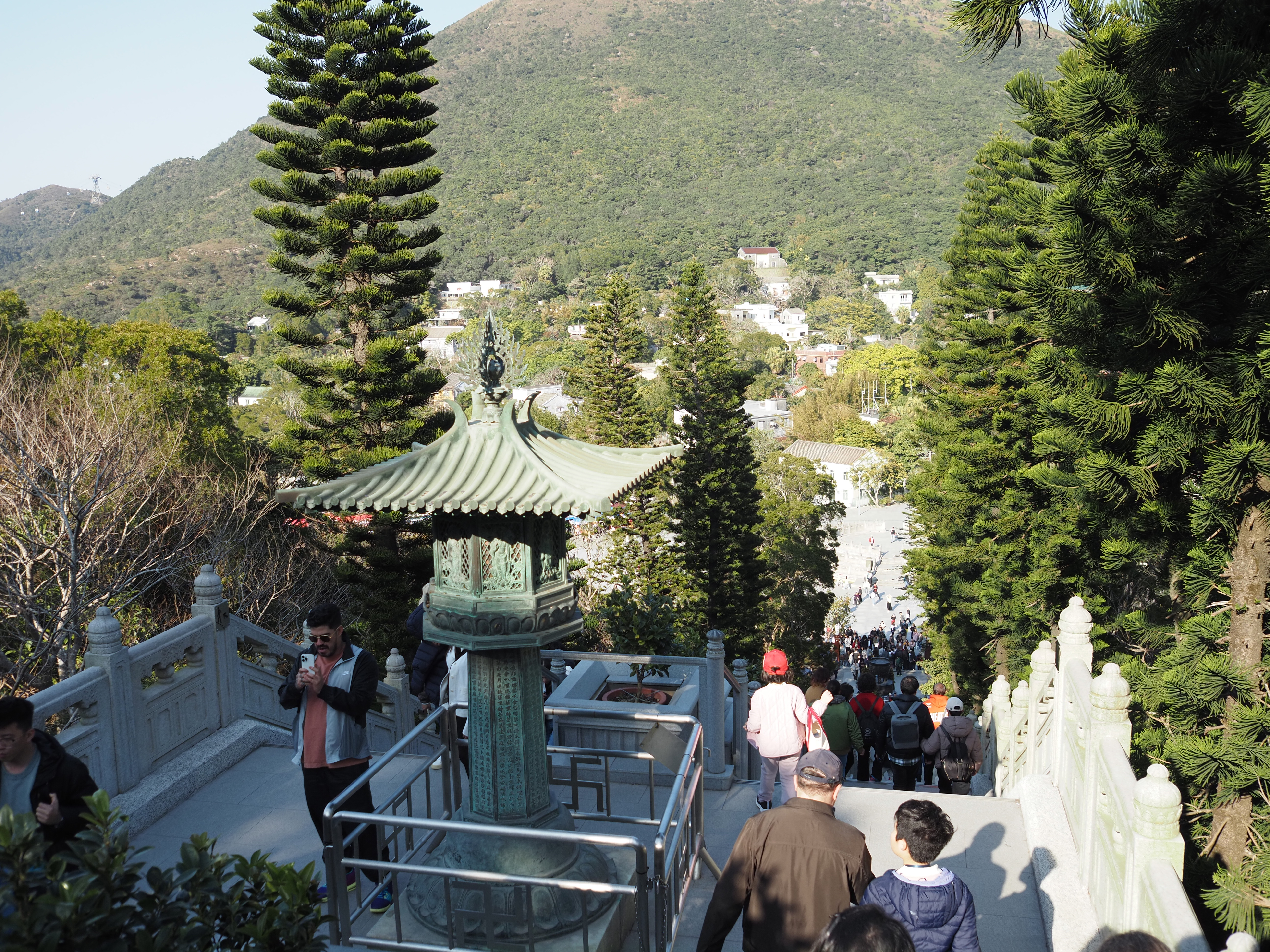
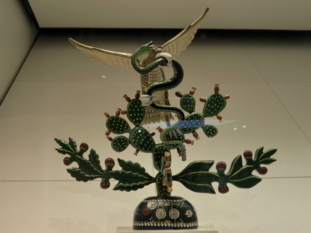
Tenochtitlan, in the middle of current day Mexico City, was founded in 1325 in the middle of a large wetland by the Mexica people, the dominant group within the Aztec civilization. They had found the spot foretold by their ancestors where an eagle would be perched on a prickly pear cactus in the middle of a lake.
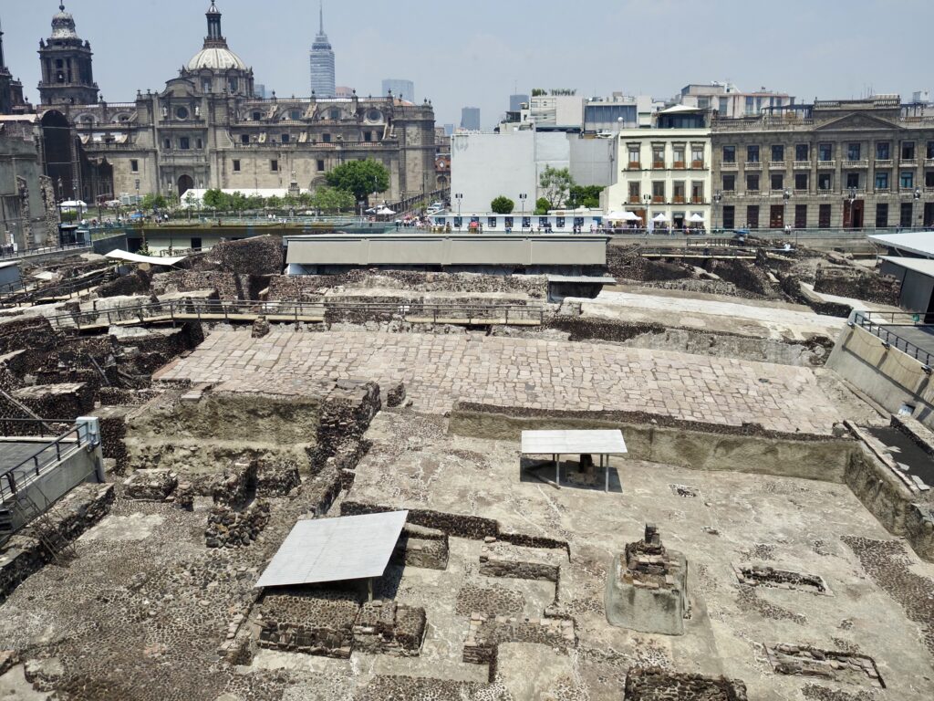
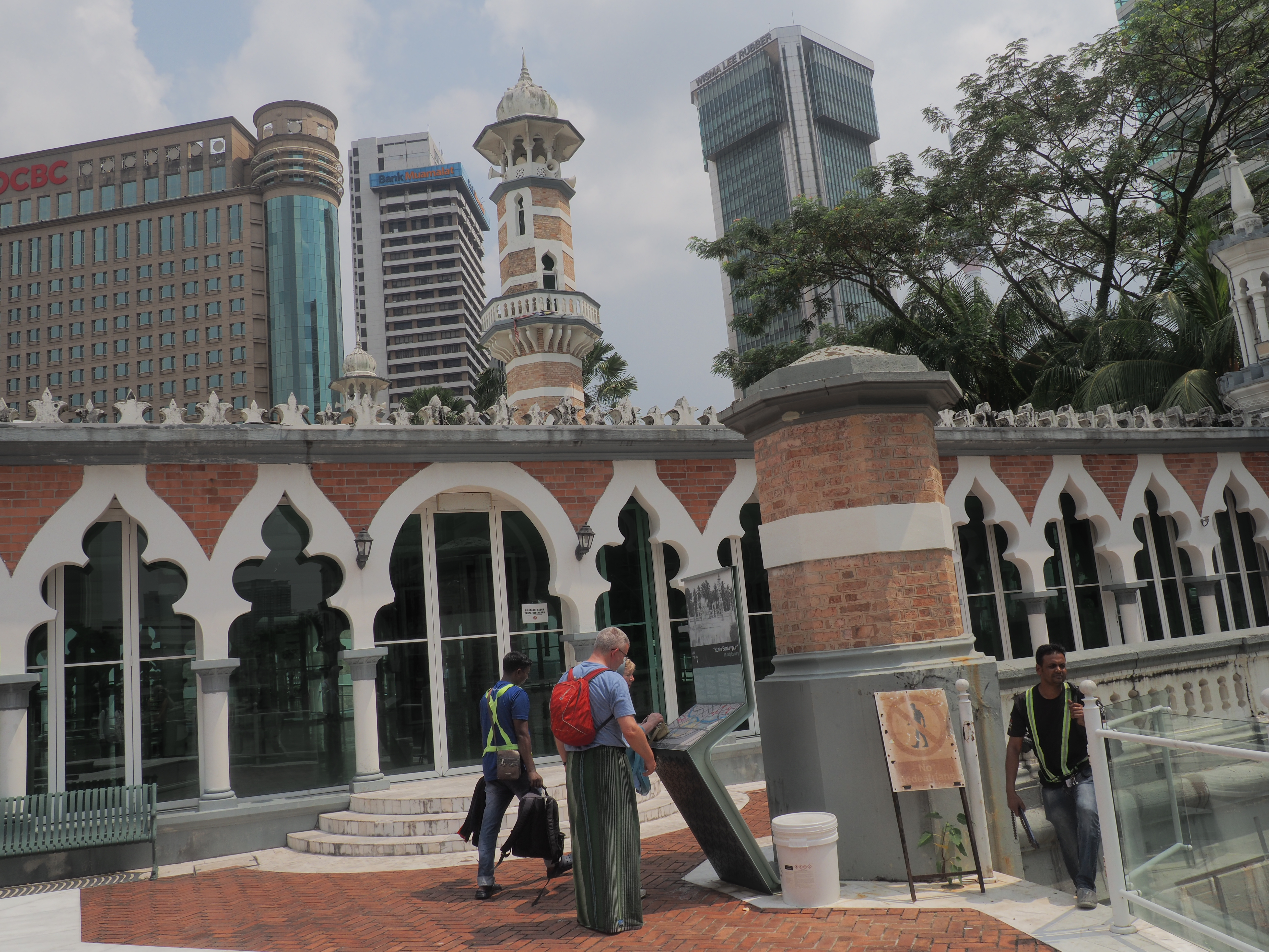
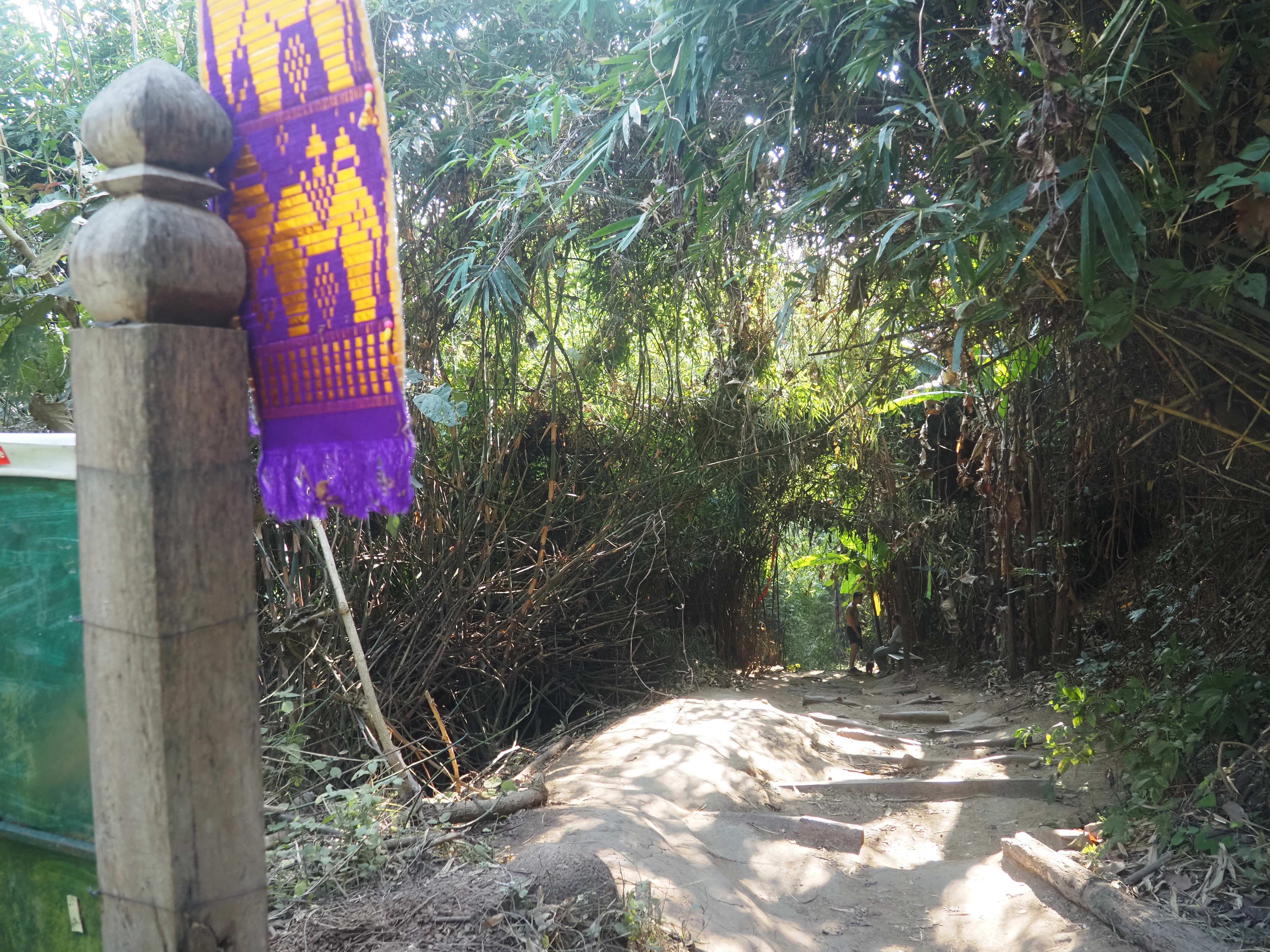
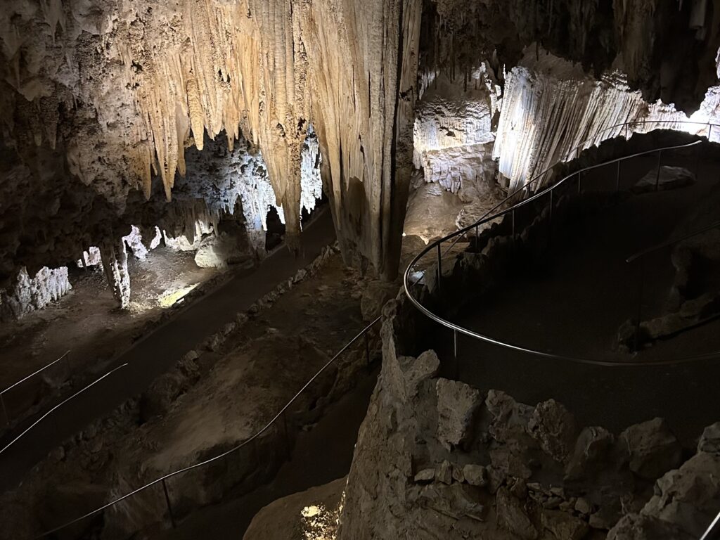
Today, Tenochtitlan lies beneath the city and is being steadily revealed.
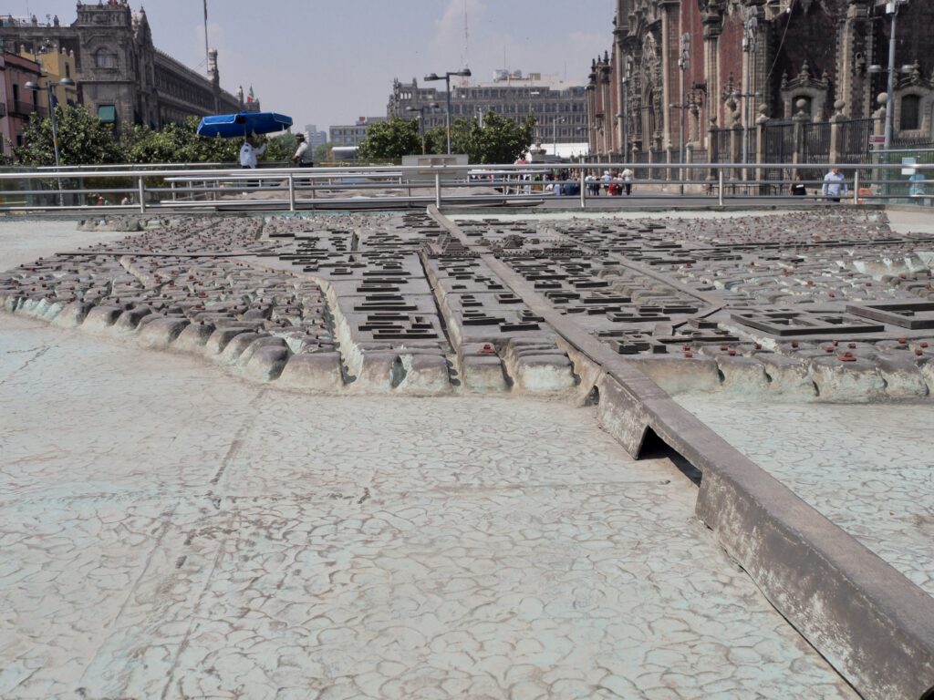
It took us a while to fully comprehend that this model is showing us Tenochtitlan built up in the middle of a lake with causeways connecting it to the surrounding landscape (now all beneath the modern city). The guide who convinced us to hire him, himself a Mexica, a Nahuatl speaker, told us that the grandmothers always said Tenochtitlan had always been here, where the Spanish covered it over and used the Mexica building materials and artifacts as the foundations for the Spanish city. (And, of course, “Mexica” is properly pronounce “meh’ chee kah.”)
Being built in an extensive wetland, the Mexica or Aztec city was composed of myriad islands built up and connected by a web of canals, including both islands for building and islands for agriculture, which we’re told impressed and enchanted the arriving Spanish with their sophistication.
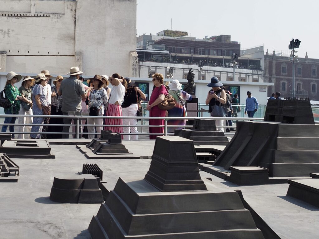
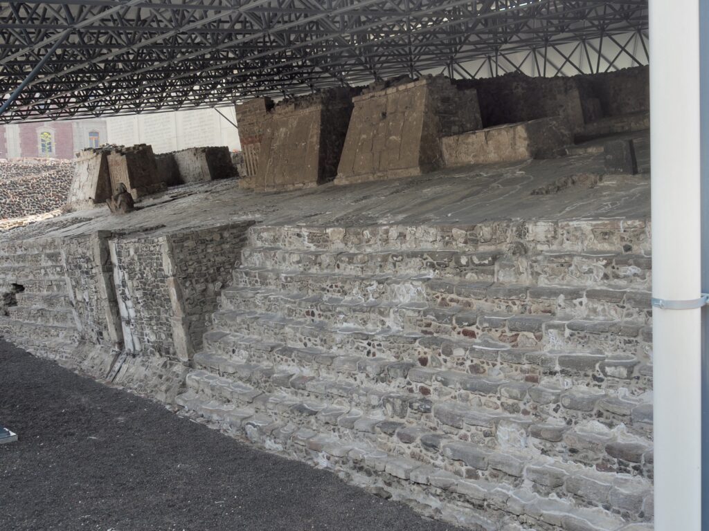
In the center of the city was a large ceremonial complex with imposing buildings, still undergoing archeological excavation. This is also where a grave error was made by Moctezuma, the Aztec Emperor, in reliance on a dream.
As a very religious leader, Moctezuma looked forward to a sort of second coming when the gods would return, rewarding the Mexica people who according to their traditions had spent ages upon ages wandering ever since the sun god Huitzilopochtli had told them to leave Aztlan (which historians believe may have been in present day Arizona or New Mexico) to find their promised home. He had dreamed the gods would return, but with two heads and six legs (quite obviously confirmed when the exotic looking Spaniards arrived on horseback).
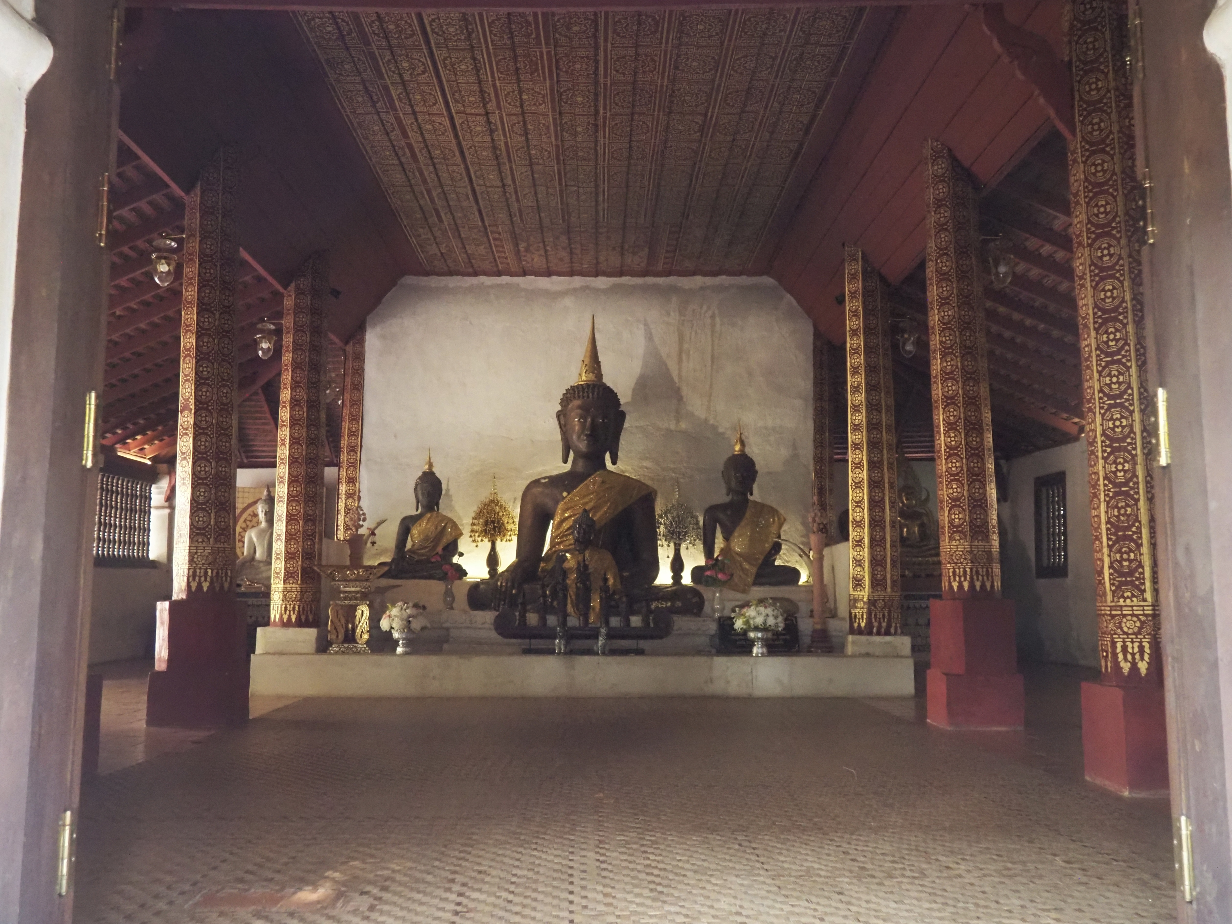
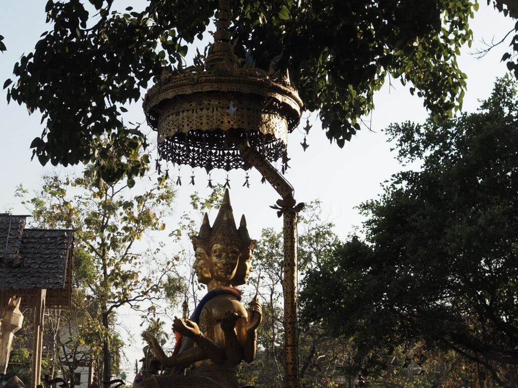
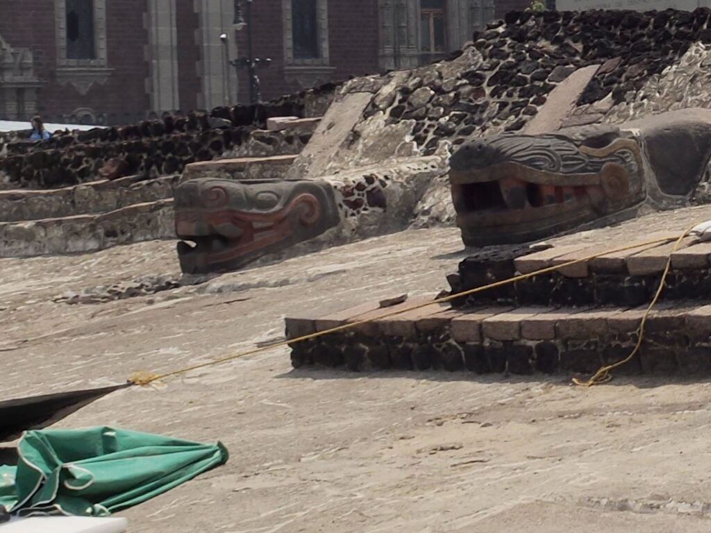
Unlike the much older Mayan civilization, the Aztecs had a twin temple structure in tribute to the god of the sun and the god of the moon.
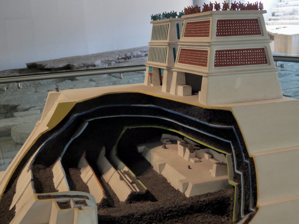
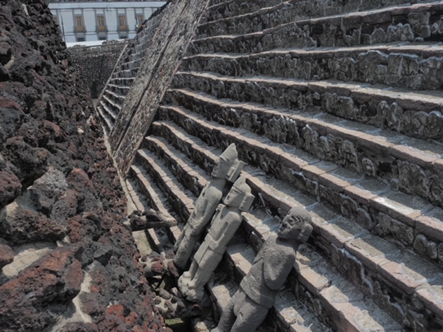
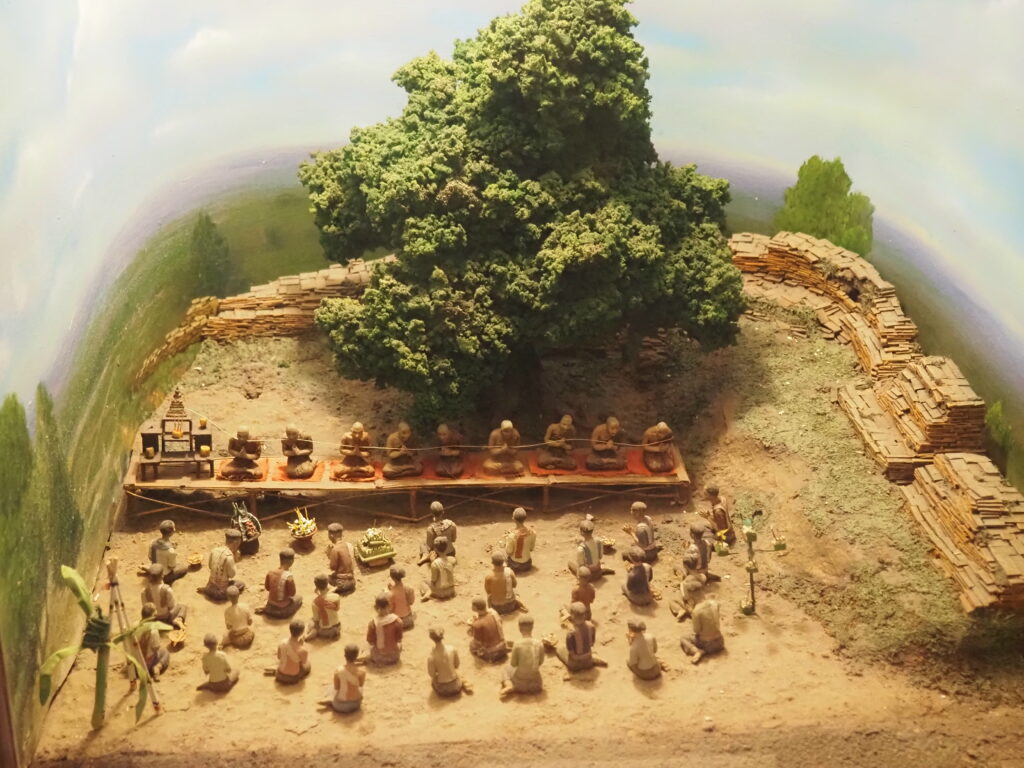
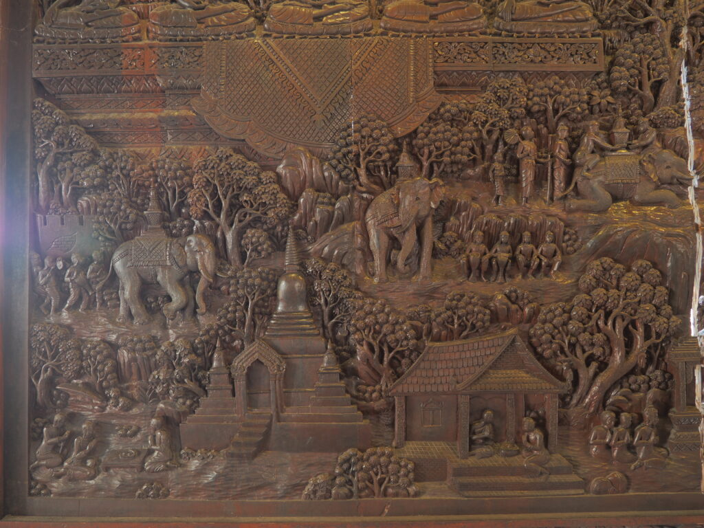
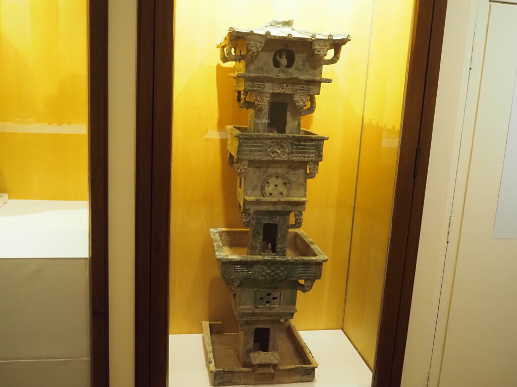
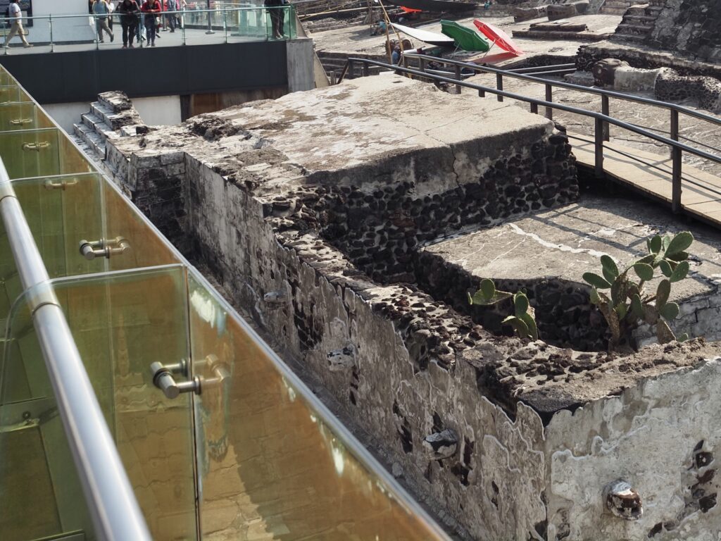
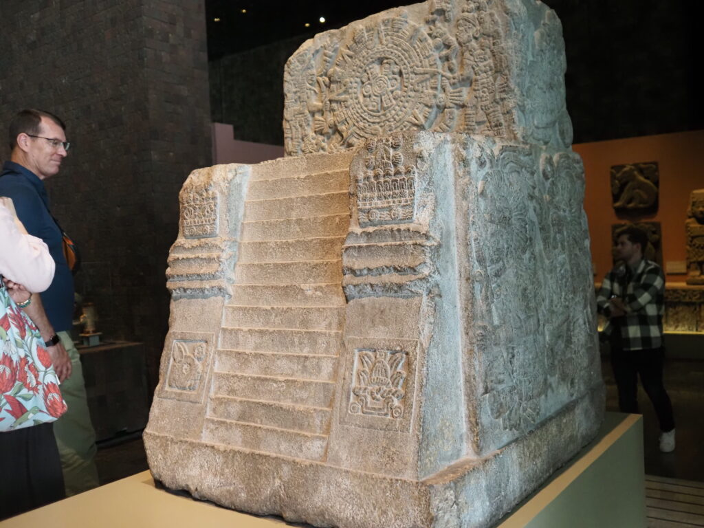
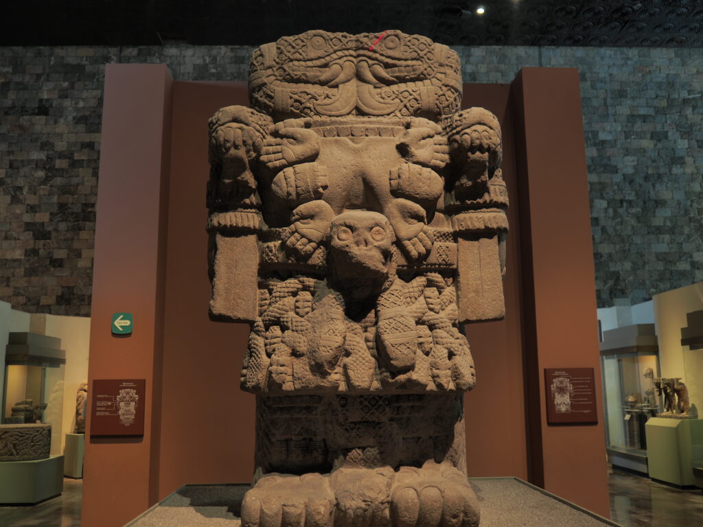
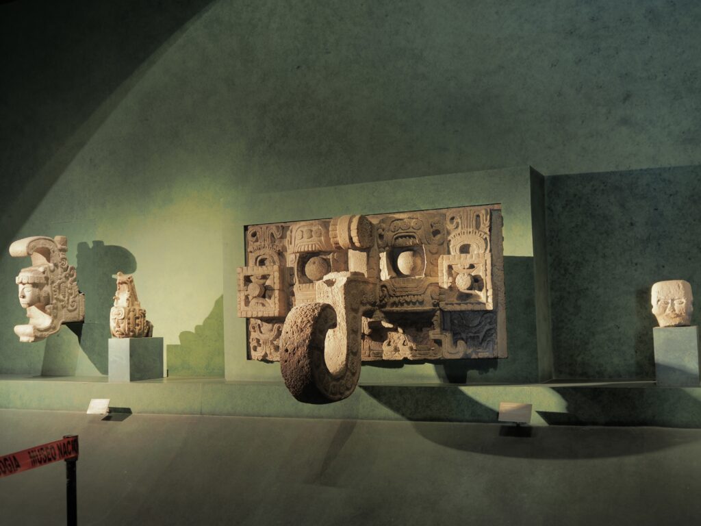
Constructed like Russian nesting dolls, the main ceremonial complex had at its heart a place of offering, which you can see in the model, above.
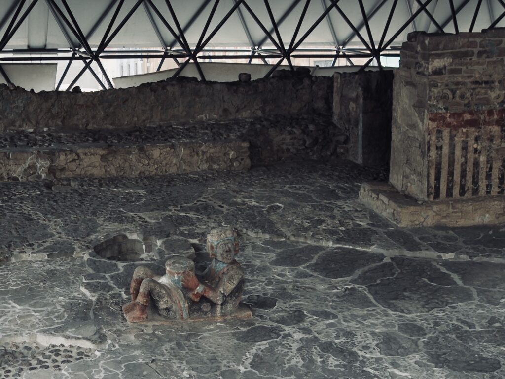
An offering of a human heart to the gods was given, depending on circumstances, gladly and proudly by volunteers when offered to please the gods or perhaps less cheerfully by prisoners when offered to appease the gods. In any case, this was at a minimum a daily occurrence and the heart was placed in the container held by the reclining figure, above.


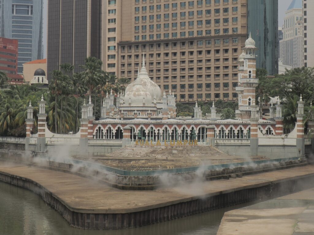
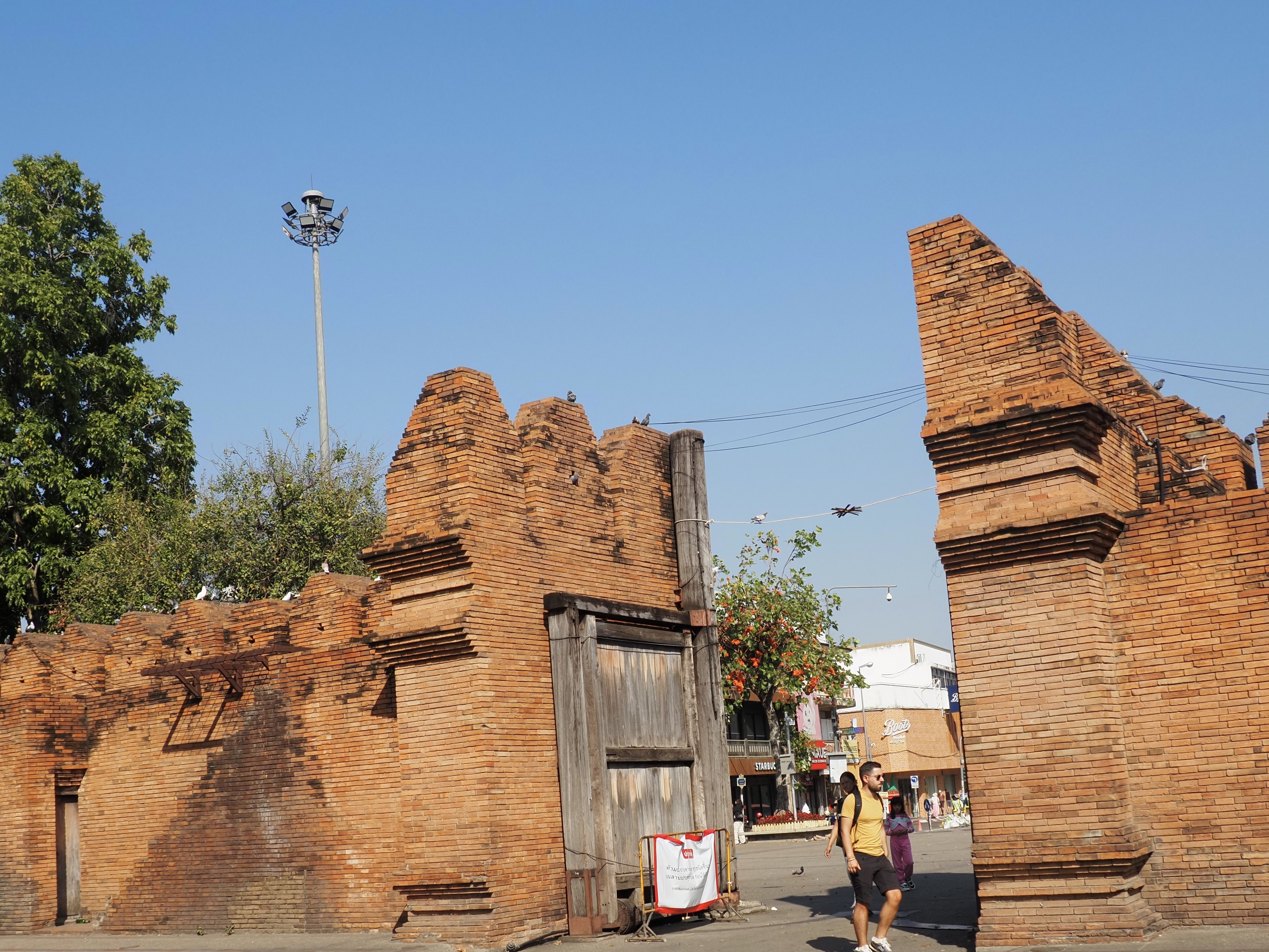
So, here we are at the Templo Mayor, the Great Temple, where Cortes with his horses and several hundred men was welcomed as a god, bonded with Moctezuma until the latter realized – too late – his mistake. By that time, the non-Mexica peoples, eager to be rid of their overlords, allied with the Spanish and the Aztec passed into history.


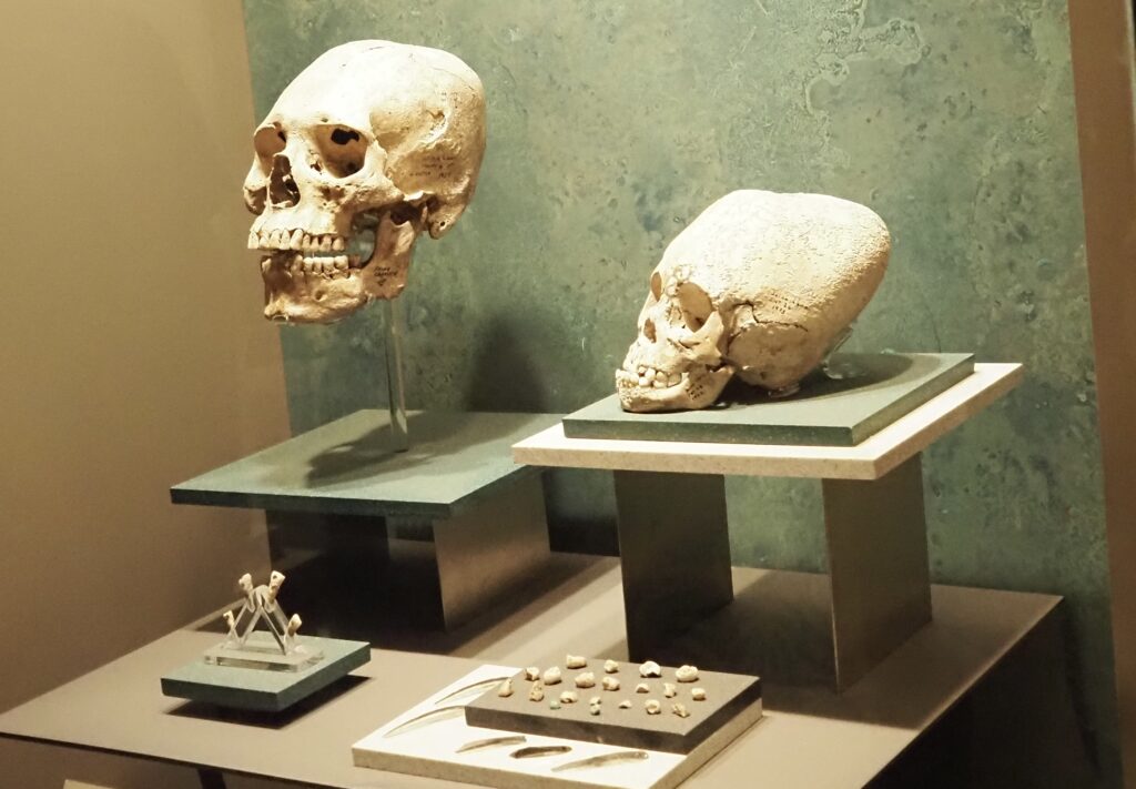
The artifacts testifying to the practice of human sacrifice at Templo Mayor are in the Anthropology Museum (where you could easily spend a week). In Aztec cosmology, the underworld was the normal destination of the dead. There were, however, three ways people could spend eternity among the gods in the world above: dying in childbirth, dying honorably in battle, and offering oneself as a sacrifice to the gods. Once a volunteer was sufficiently drugged to tolerate the experience, which must allow a beating heart to be offered, he would lean back over the large openings in these vessels and the shaman would proceed to the task. And, yes, the ancient understanding that strength could be gained through consumption of human flesh was also fulfilled in these rituals.
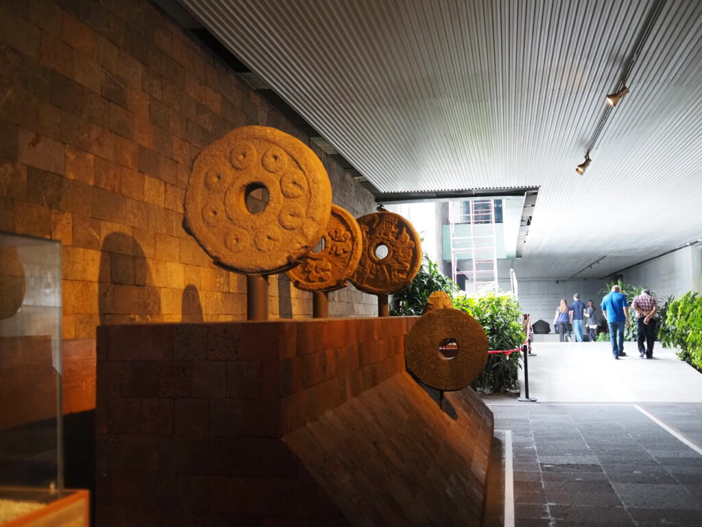
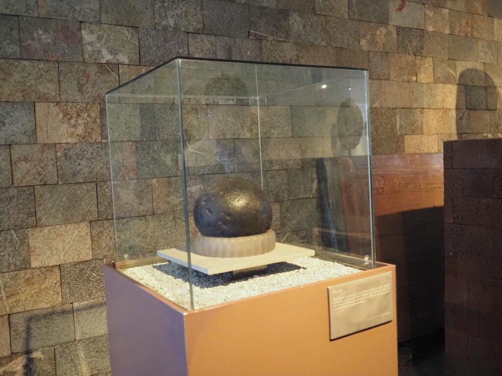
Another way to have the honor of being chosen as a volunteer for sacrifice was to be the winner of that famous ballgame in which the object was to put a large and quite hard and heavy rubber ball through a small hoop by using only your hips and elbows.
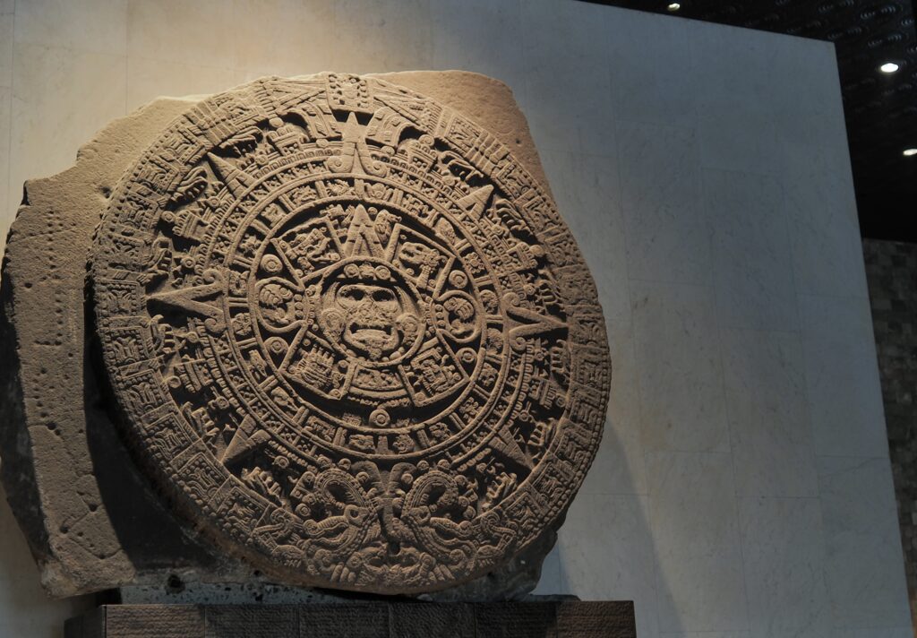
One of the most famous artifacts in the museum and the sole reason for many people to visit is what is traditionally identified as the Aztec Calendar, unearthed by the Spanish in 1790 during renovations to the Cathedral where it served as foundation and then propped against the building for another hundred years, significantly damaged (unfortunately) during the American occupation of Mexico City towards the end of the Mexican American War and its seizure (firmly opposed by an Abraham Lincoln) of much of what had been Mexican territory. There is also a reasonable likelihood that it was a stone of sacrifice and that it served in the Templo Mayor as the stone of the sun (opposite the stone of the moon).
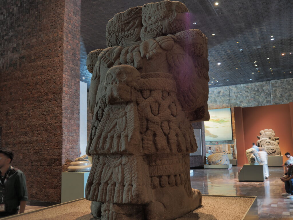
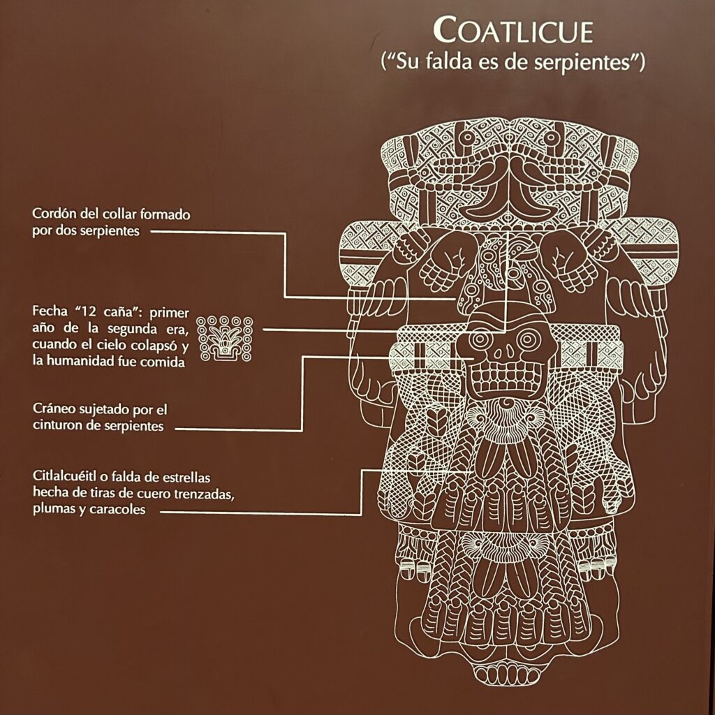
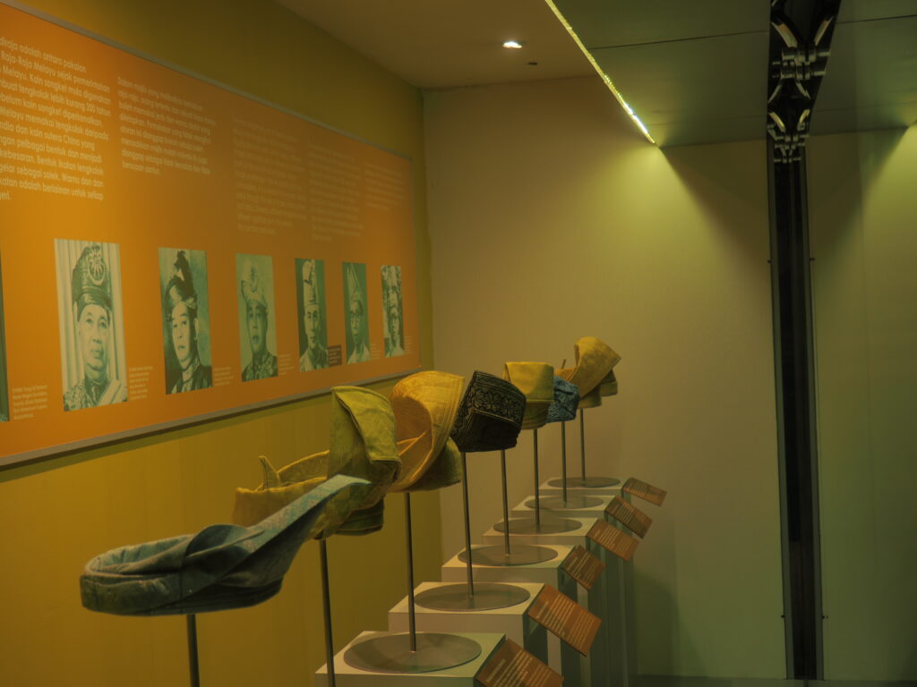
It was wonderful to have an exceptionally clear and well organized guide in the museum, although it did not keep our heads from swimming. So, you can see there were lots of snakes involved and these were very important Aztec artifacts.
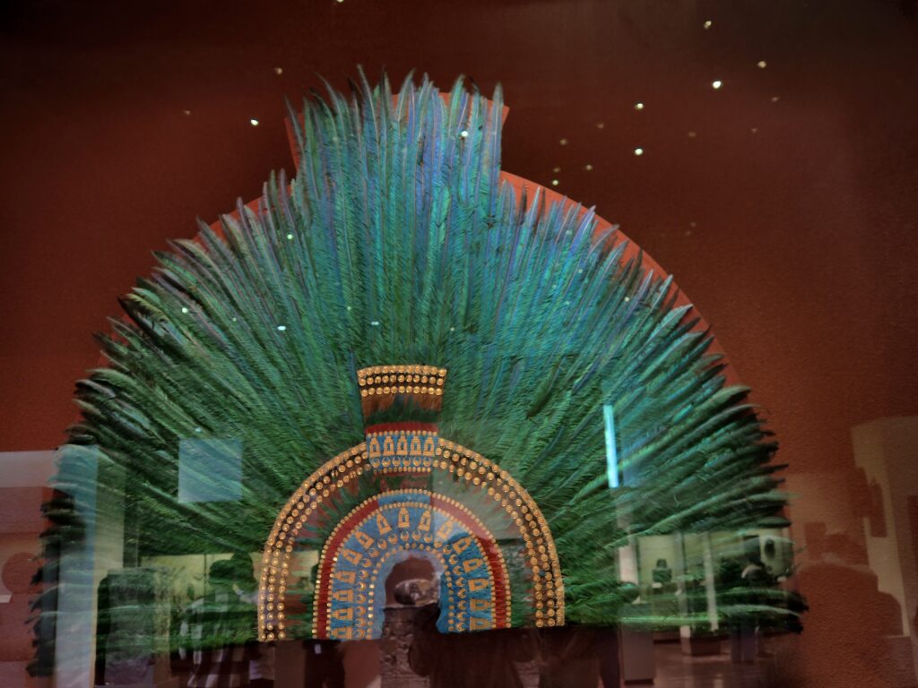
This is the famous gift from Moctezuma to Hernan Cortes, created from quetzal feathers, traditionally identified as a headdress, but possibly (and more logically) a cape. However, this one is a reproduction. The original was given to Cortes’ sovereign and ended up in Vienna (remember the Hapsburgs?) where it will remain because to attempt to transport it would render it dust. We are assured that the quetzal who gave up their feathers for this reproduction were already deceased.
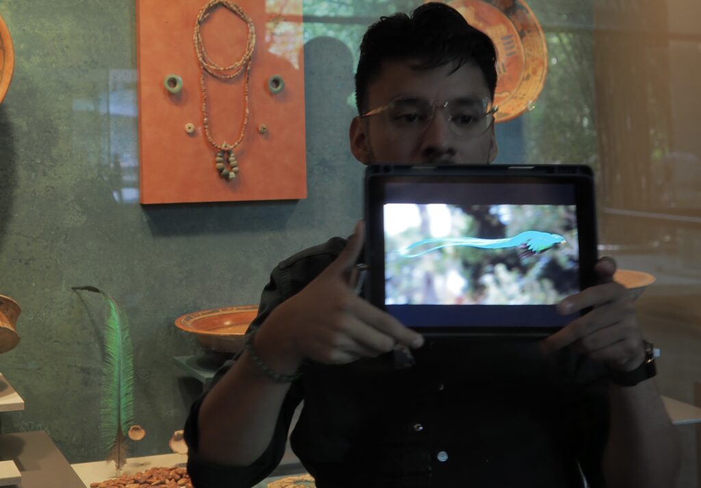
Quetzalcoatl is a major Aztec god, patron god of the priesthood, god of wind, of knowledge and wisdom, the Feathered Serpent, represented as a snake. Our guide Carlos showed the striking resemblance of a quetzal bird to a serpent flying through the sky, while there’s a quetzal feather in the display.

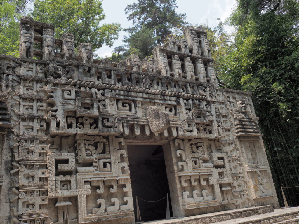
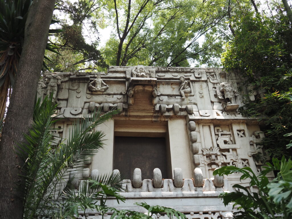
To the south were the Maya peoples and the Mayan Civilization, a civilization of small city states, rather than the centralized militarized way of the Aztecs. The Mayan culture was also much older than the Aztec and outlasted it by much more successfully resisting the Spanish. You’re looking south, with the Yucatan and Guatemala at the top.


The Mayan Civilization lasted roughly 3,500 years, as compared to the Aztec 200 years, and held out against the Spanish for more than 170 years (the Aztec collapsing within 2). They were very sophisticated people, organized into many rival kingdoms, inventing zero, using a relatively complex written language, indeed speaking more than 30 languages among them.
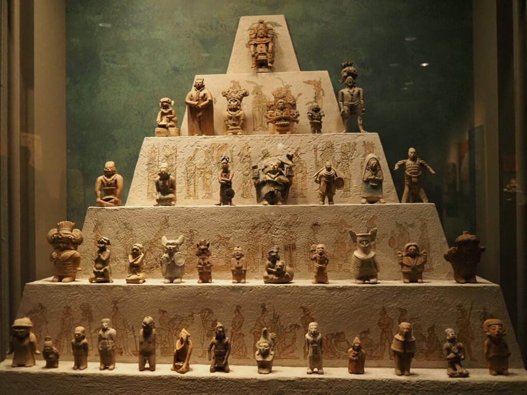
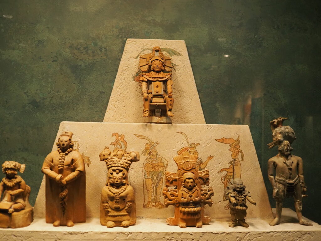
The Maya people were hierarchical, as illustrated by the large collection of burial totems, above, specific to roles in life. Below the leader at the top are two rows of the nobility, then the respectable citizens with defined roles. Finally, the bottom row are the slaves, the war captives who were a ready source, as well, for sacrifice should the need arise (alas, much less often than among the Aztecs). Slaves made up roughly 40-50% of the population.
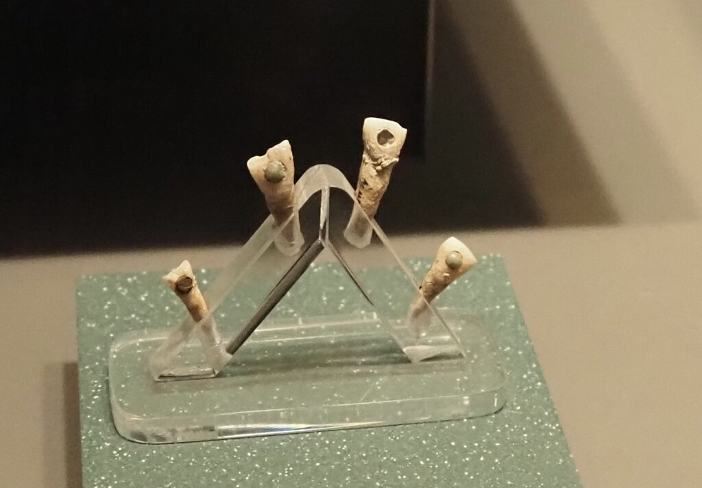
Body modification was a way to indicate status and nothing says “elite” like a pointy head. Much as it had been the fashion to bind feet in some cultures, the Maya bound skulls by using a plank. Unfortunately, sometimes it didn’t work out well, such as for the youth on the right whose dental alignment was severely out of wack, perhaps contributing to an even earlier death than he might have had. On the right, we see cosmetic dental implants.


Sometimes the museum goer has to simply enjoy the sights. Mayan, of course.
Tlaloc or Chaac. Aztec or Mayan. This is one of the gods they had in common, just with a different name and, in the case of Chaac, a longer nose.
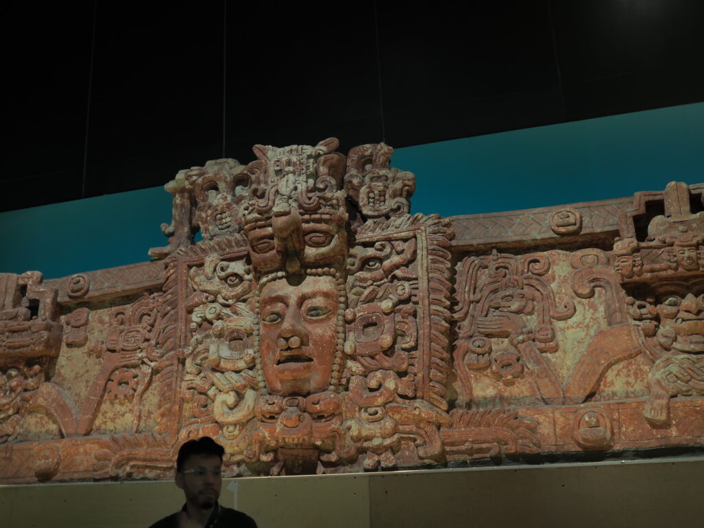
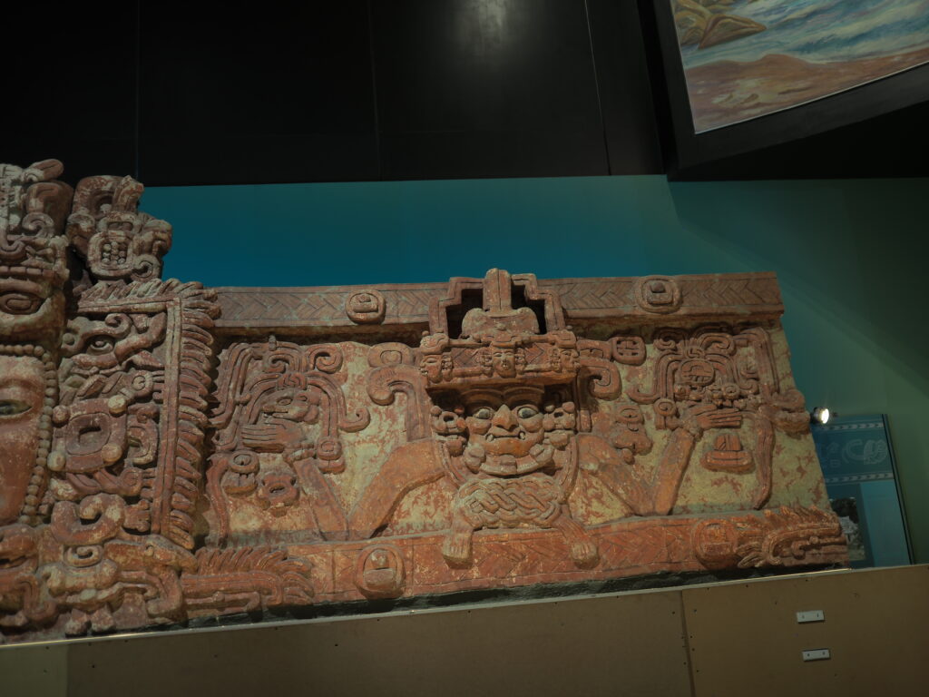
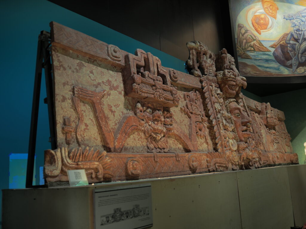
This rather amazing work of carved stone was spotted by an entrepreneurial American who broke it into 70 pieces to smuggle it into the States and offer it to the Met. Fortunately, they called the authorities and it was all repatriated to Mexico and reassembled here. Our guide pointed out just how skillfully it had been removed (notice the thinness of the slab).


The third and final room of our guide’s guiding us through the 22 room museum in three hours, is devoted to the civilization centered in Teotihuacan, about 25 miles northwest of Mexico City. It certainly wouldn’t be fair to say that his incredibly informative and fascinating commentary was skimming the surface, but we were skimming the surface. Before things really got going in Teotihuacan people had been living in small villages in the area for 400 years. Then around 100 or so BCE, a very urban civilization came into its own (with 80-90% of people living in multi family, multi story apartment dwellings in the urban core) which at its height had a population estimated at 100,000 people, making it the largest city in the Americas and the sixth largest in the world in it’s time. By the fifth century things weren’t going well and by the eight century it was gone. So, it overlapped with the Mayans, not with the Aztecs. Indeed, our native guide from the Templo Mayor told us that the Aztec civilization of the Mexica people came when they moved on from Teotihuacan, implying that it was another iteration of the same culture. What seems to have been the case was that the Aztecs came upon an abandoned city and made it their own for a few centuries, a city now known for its colorful murals, an Avenue of the Dead, and especially for two pyramids: for the God of the Sun and for the God of the Moon, which does find its echo in Aztec culture at Templo Mayor.
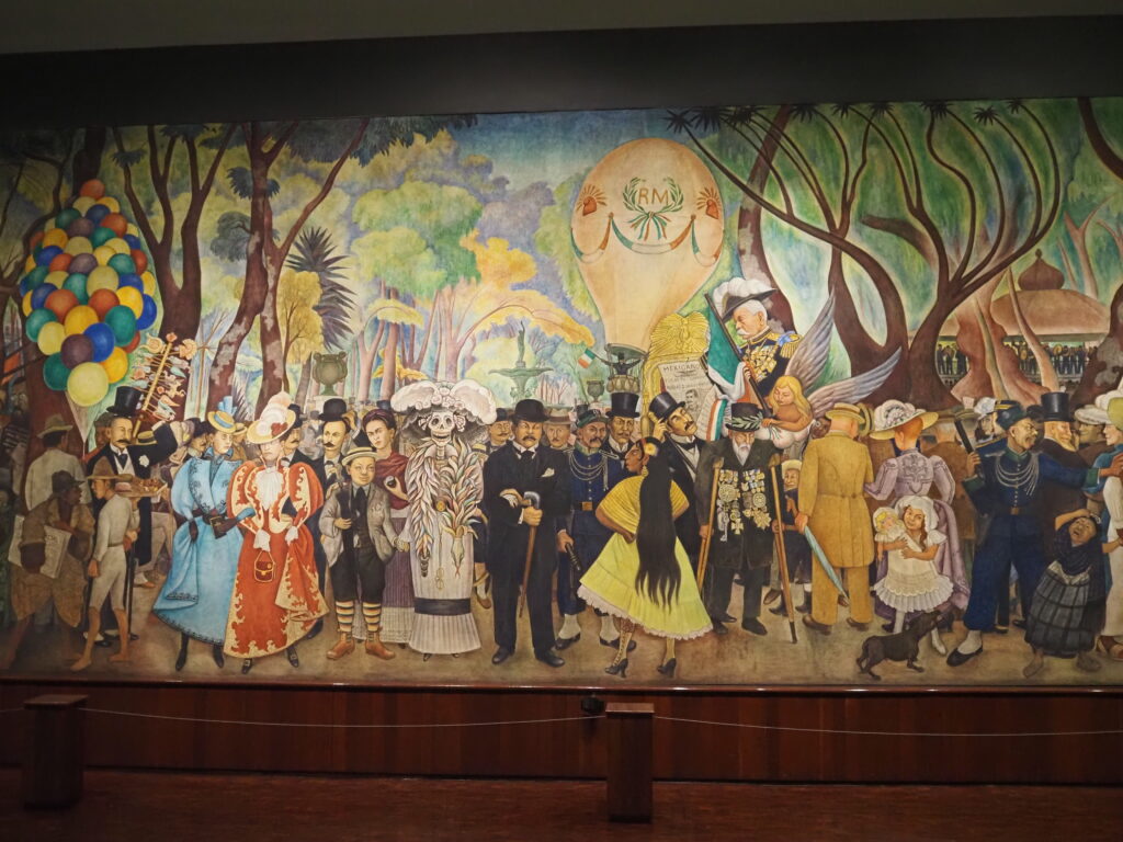
A major cultural echo occurred in the first half of the twentieth century when Mexican muralists became the rage internationally with prolific, high quality output. None were more impressive and famous than Diego Rivera, at the time, perhaps the most famous artist in the world.
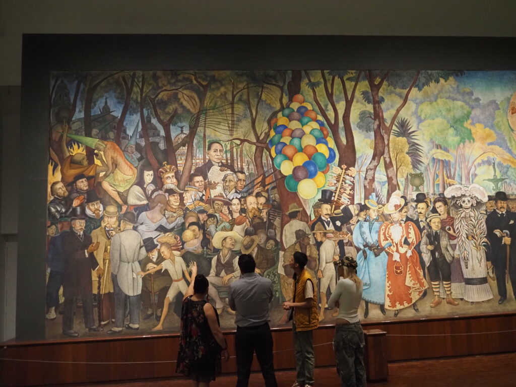
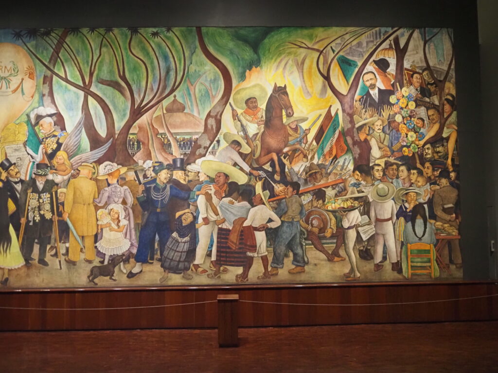
Rivera has placed himself as a young child in the center with La Catrina, a popular figure associated with death and social criticism, and the wife he married twice – Frida Kahlo – who was known during their lifetimes as the wife of Diego Rivera, although now he is the one known as the husband of Frida Kahlo. Dream of a Sunday Afternoon in the Alameda Central was commissioned for a hotel. It depicts historical characters from the Conquest through to Rivera’s own time with somewhat biting social commentary. In fact, there was a push to censor it when it was unveiled, a threat successfully countered through the leadership of Kahlo. When the hotel was demolished, it was reinstalled in a purpose built building with an impressive number of visitors for a single artwork museum.


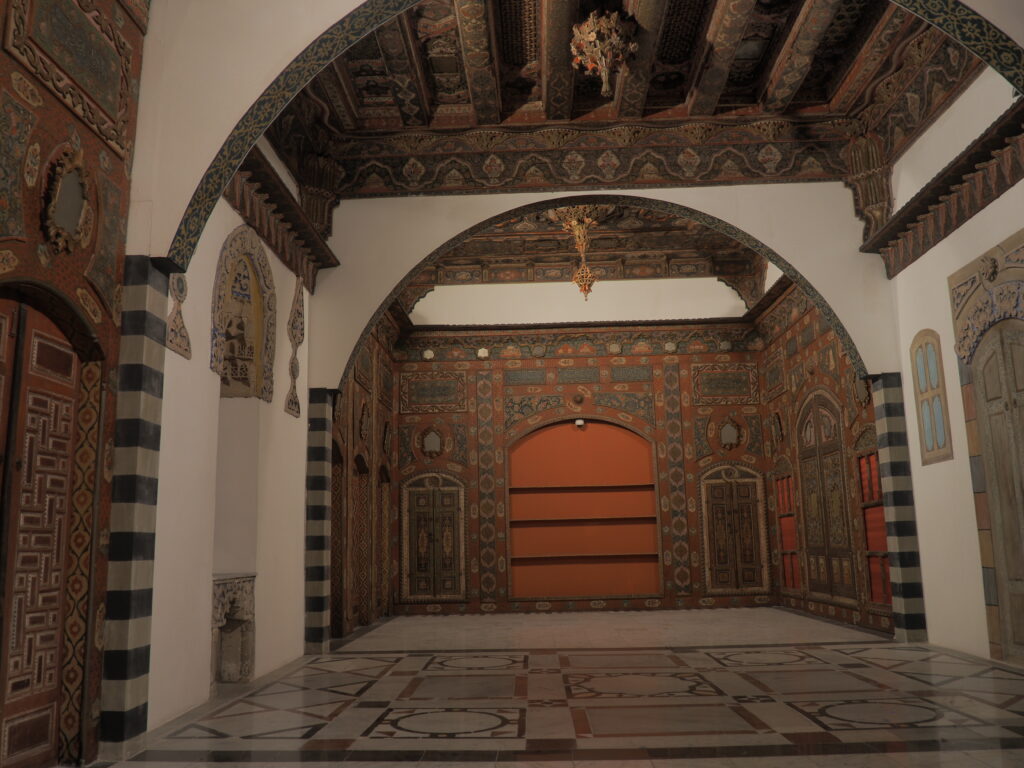
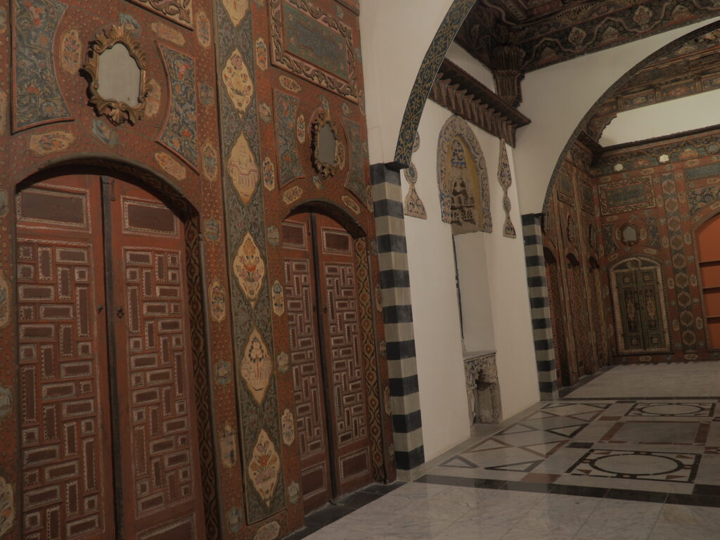
In the historic center, not far from Templo Mayor and the Cathedral, the Education Ministry is housed in a large nineteenth century building with arcades surrounding a very large courtyard. This is where Rivera created historical murals the entire way around. They are completely engaging.
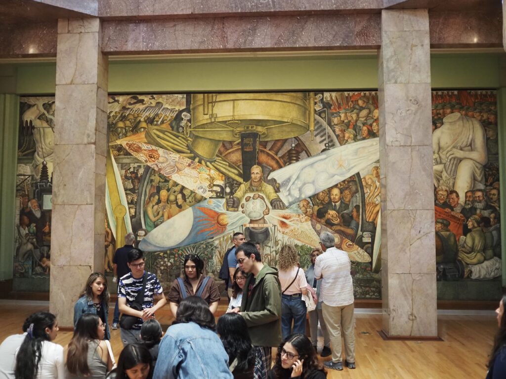
This mural was executed in two places. As Man, Controller of the Universe, 1934, it is here in Mexico City in the Palacio del Bellas Artes. As Man at the Crossroads, 1933, it is no more, but lives in art history as the mural commissioned by Nelson Rockefeller and then ordered covered and destroyed when Rivera refused to remove the image of Lenin. The worker in the center of the composition and of this moment in history is controlling a huge machine navigating the conflict between capitalism and communism, the capitalist side burdened with the savagery of WWI and the communist featuring the glories of the Russian Revolution. Rivera was a committed communist, even taking in Trotsky (can you spot him?) when he was on the run from Stalin.


The Palacio del Bellas Artes is a beautiful building and an amazing place to see murals. The bottom row, above, in addition to showing two more views of Man, Controller of the Universe, shows another grouping of four Rivera murals. The building, however, houses murals by a number of Mexican muralists.
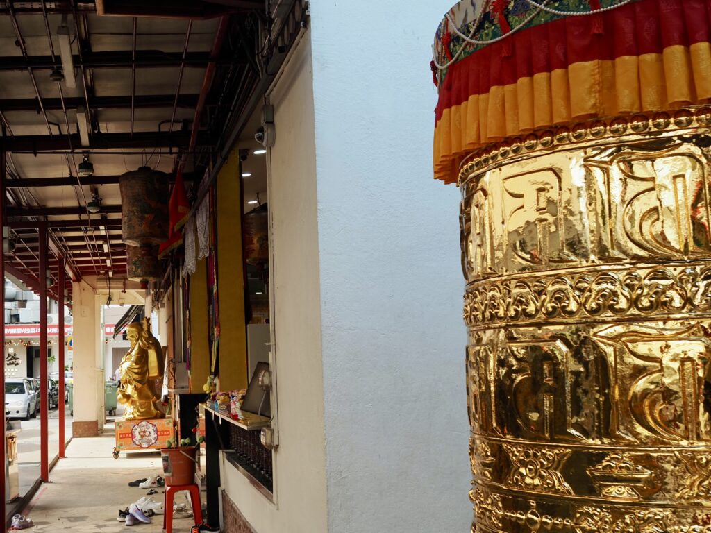
It’s the rain god, of course, as anyone would know.
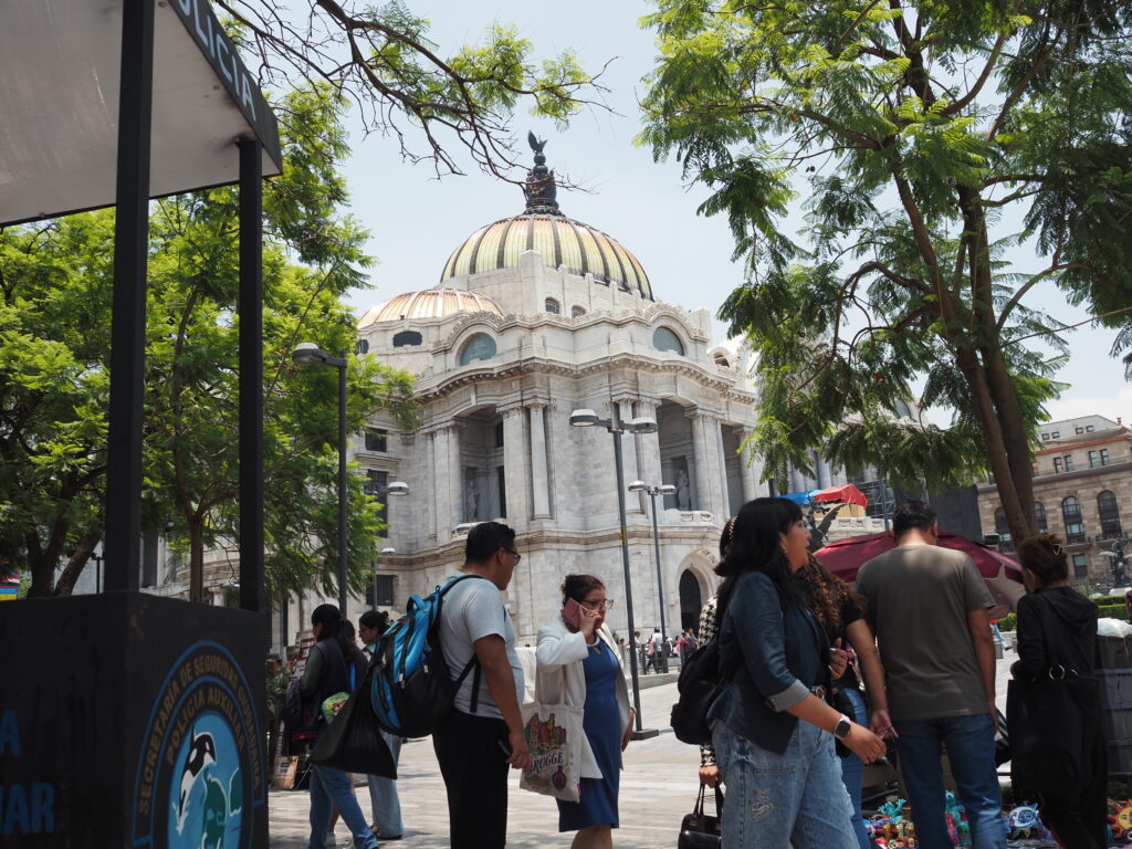
The Palacio del Belles Artes, a short distance from the historic center and just off the Alameda Park. The former ground floor of this gorgeous building is now the basement. The entire city has been subsiding for many years.


Alameda Park


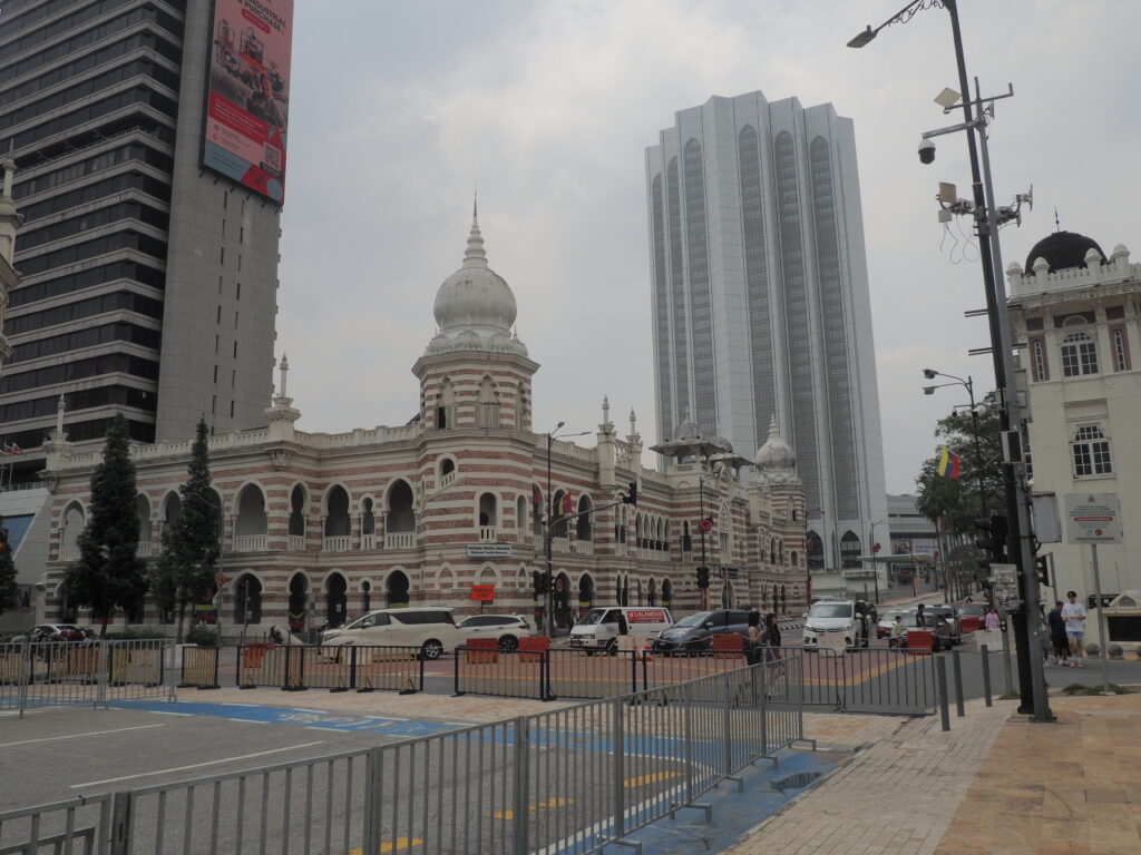
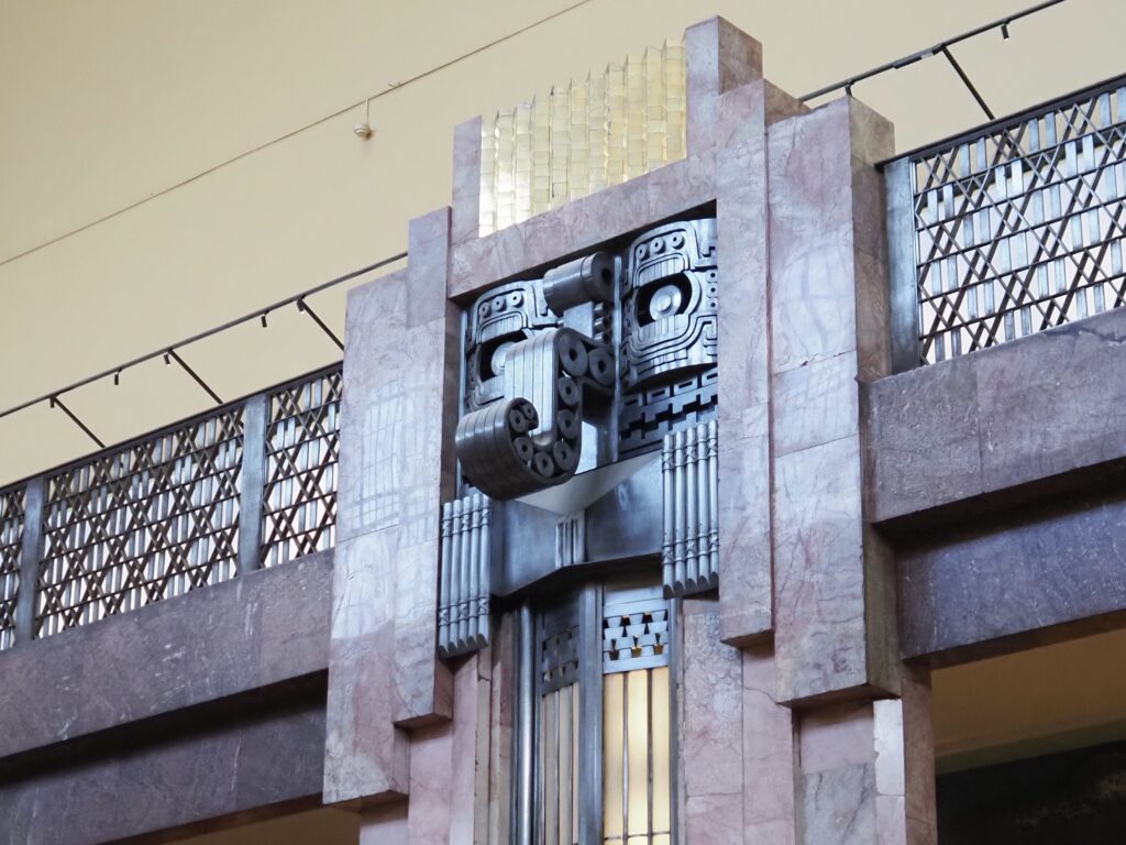
The Central Post Office. The side entrance is for marveling at the architecture.


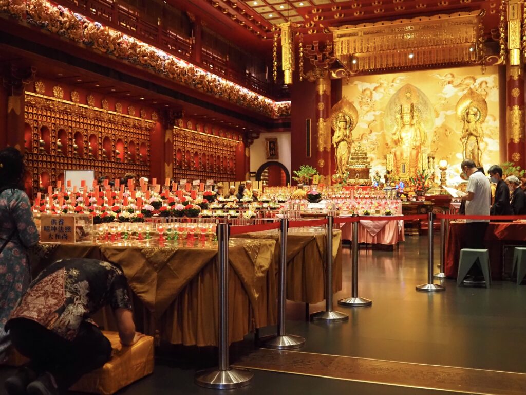
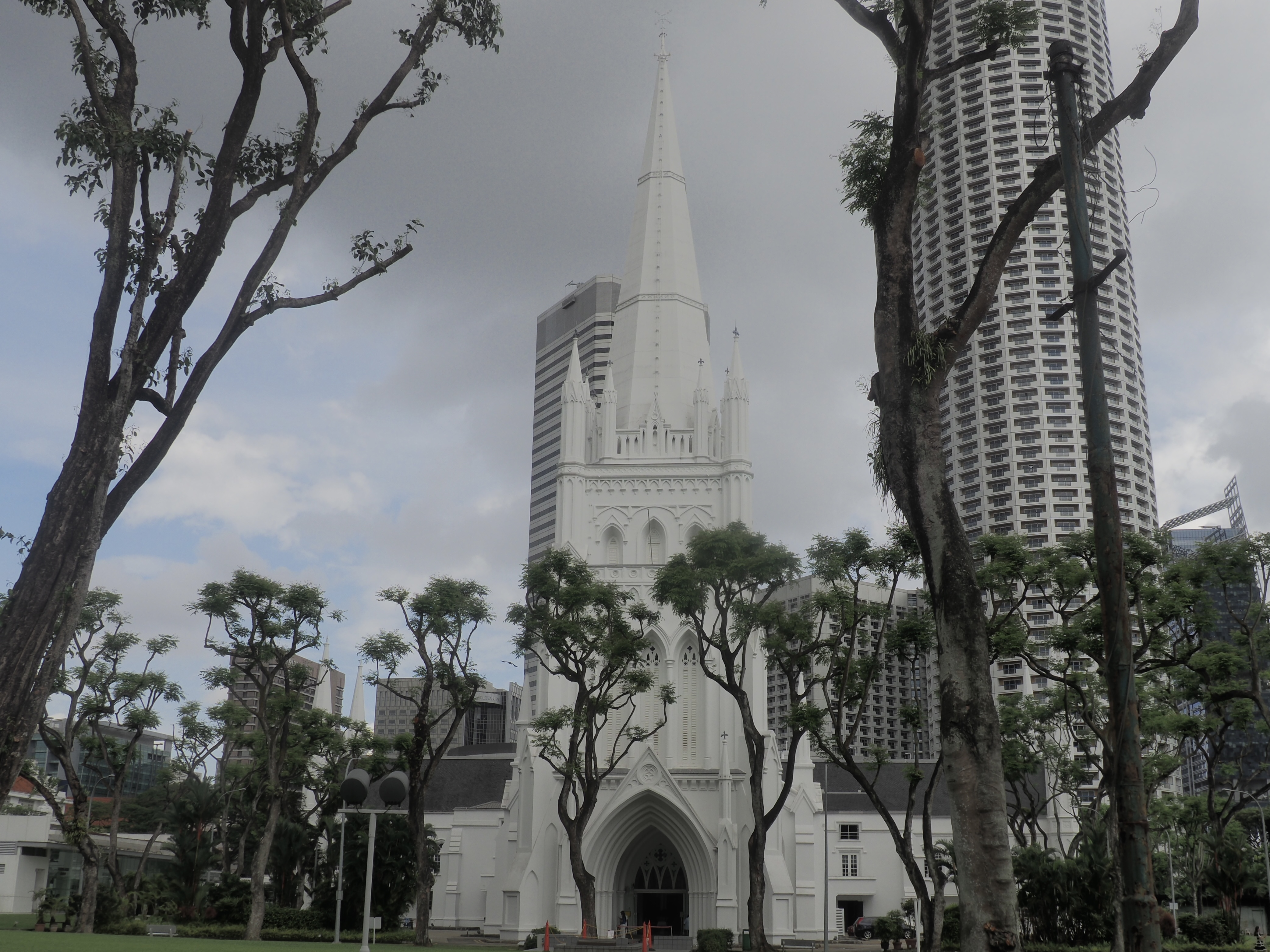
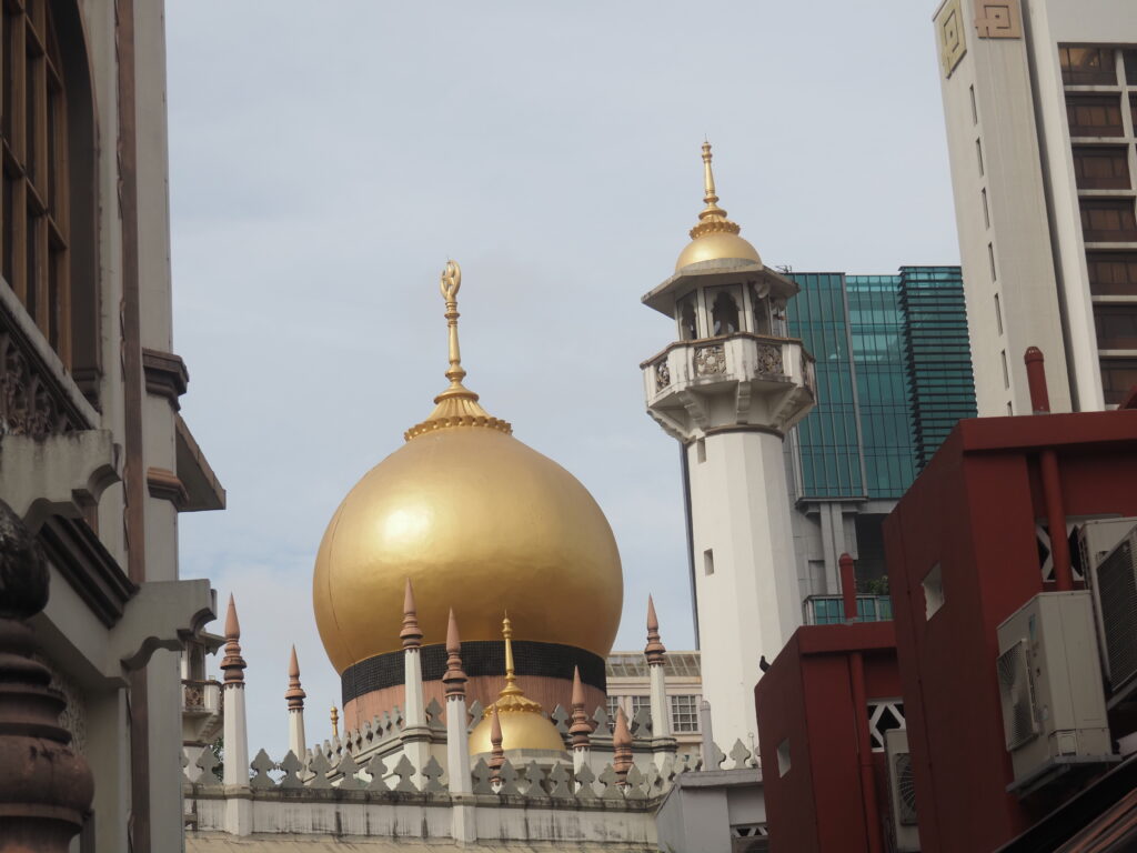
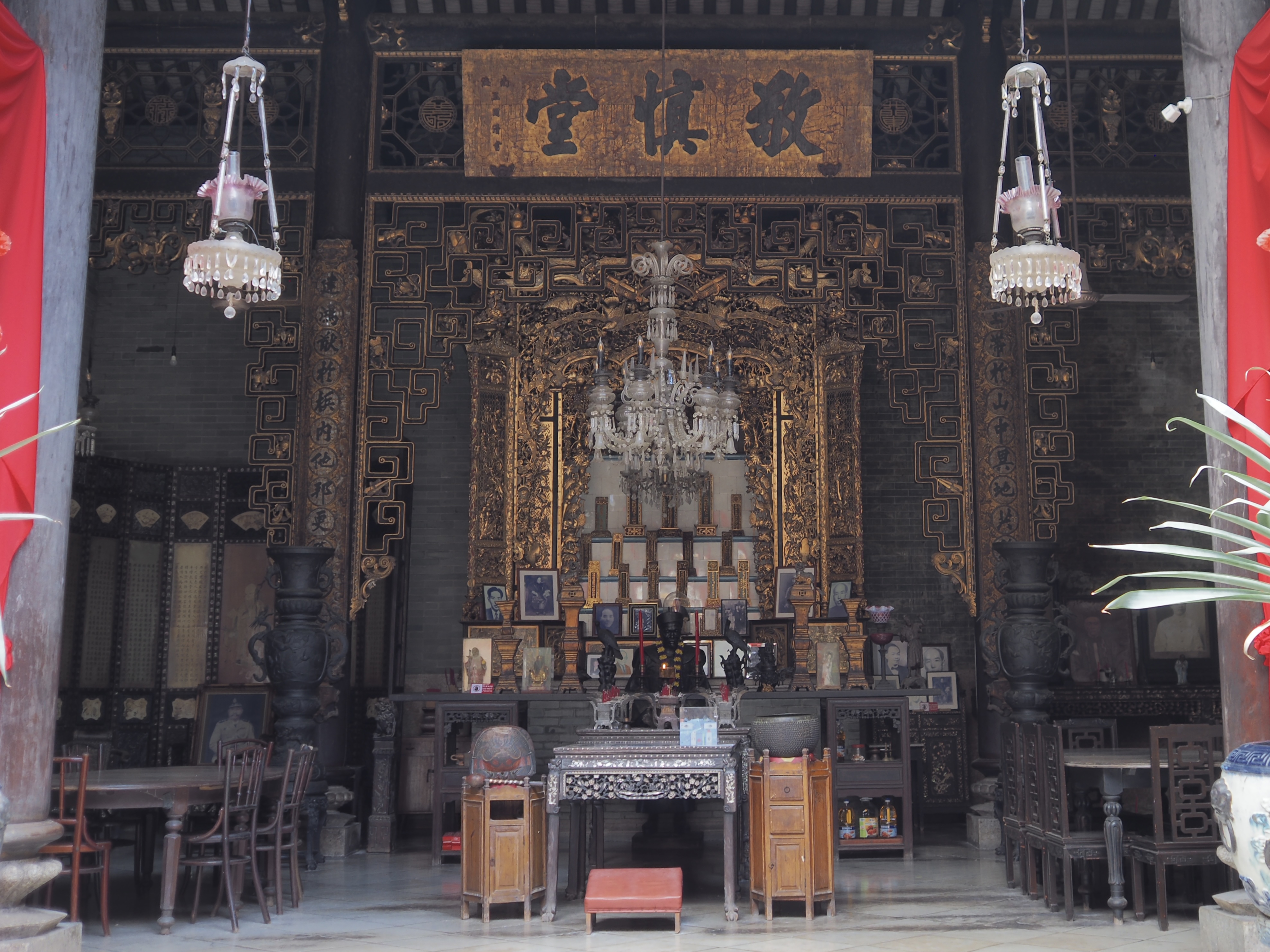
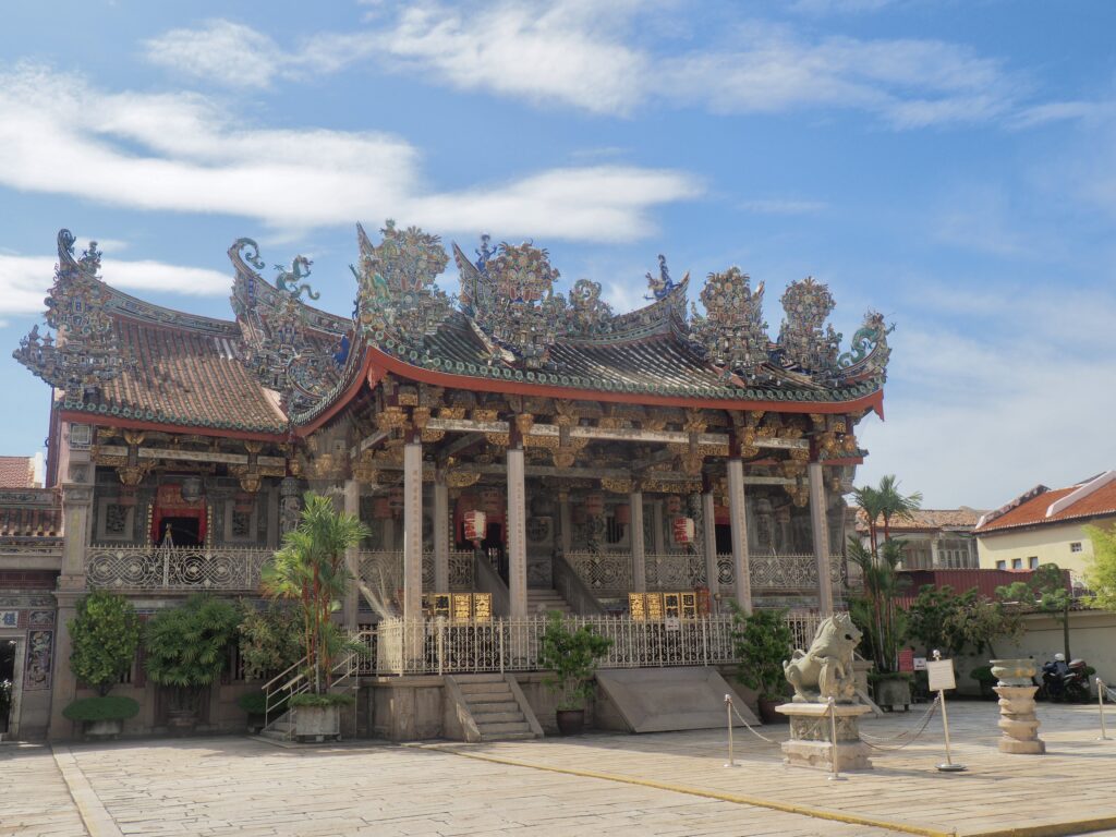
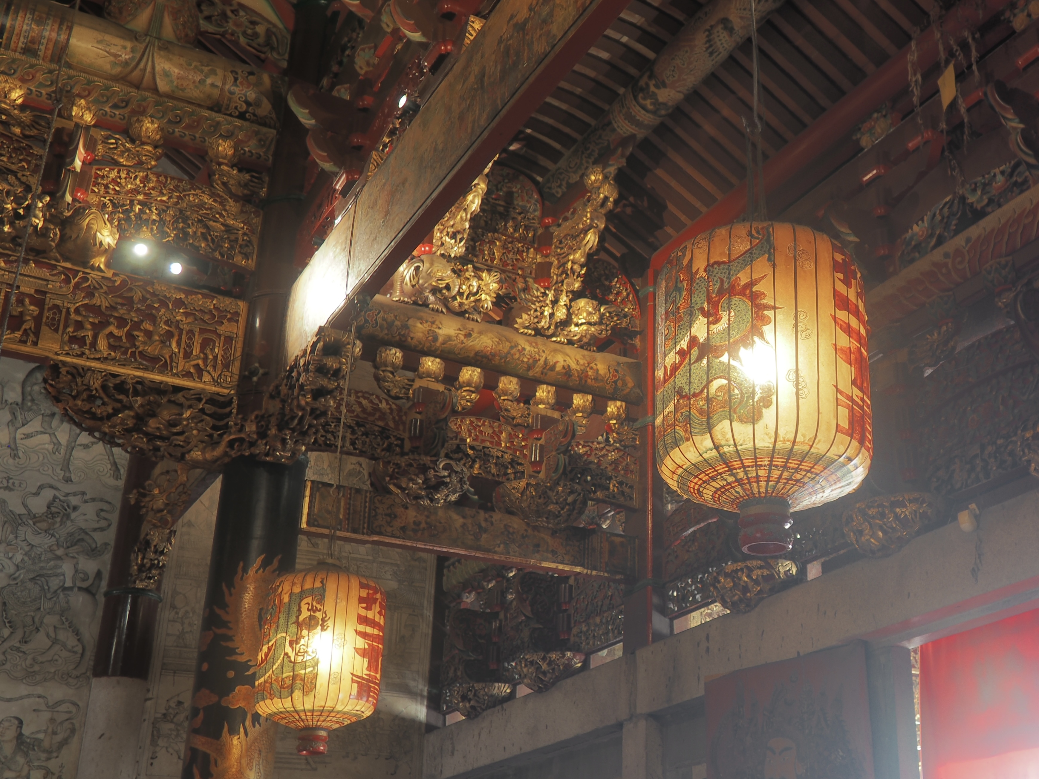
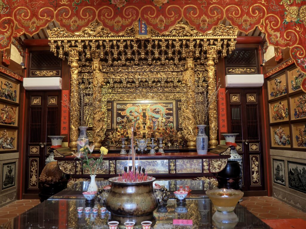
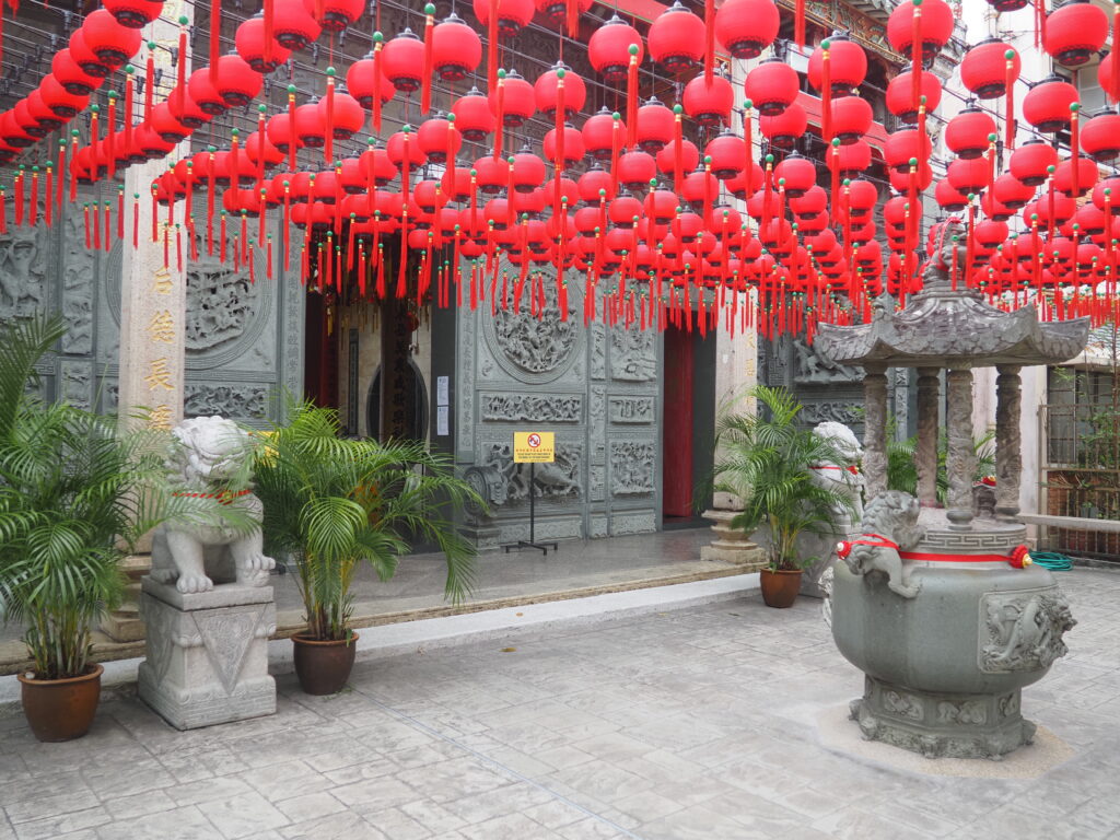
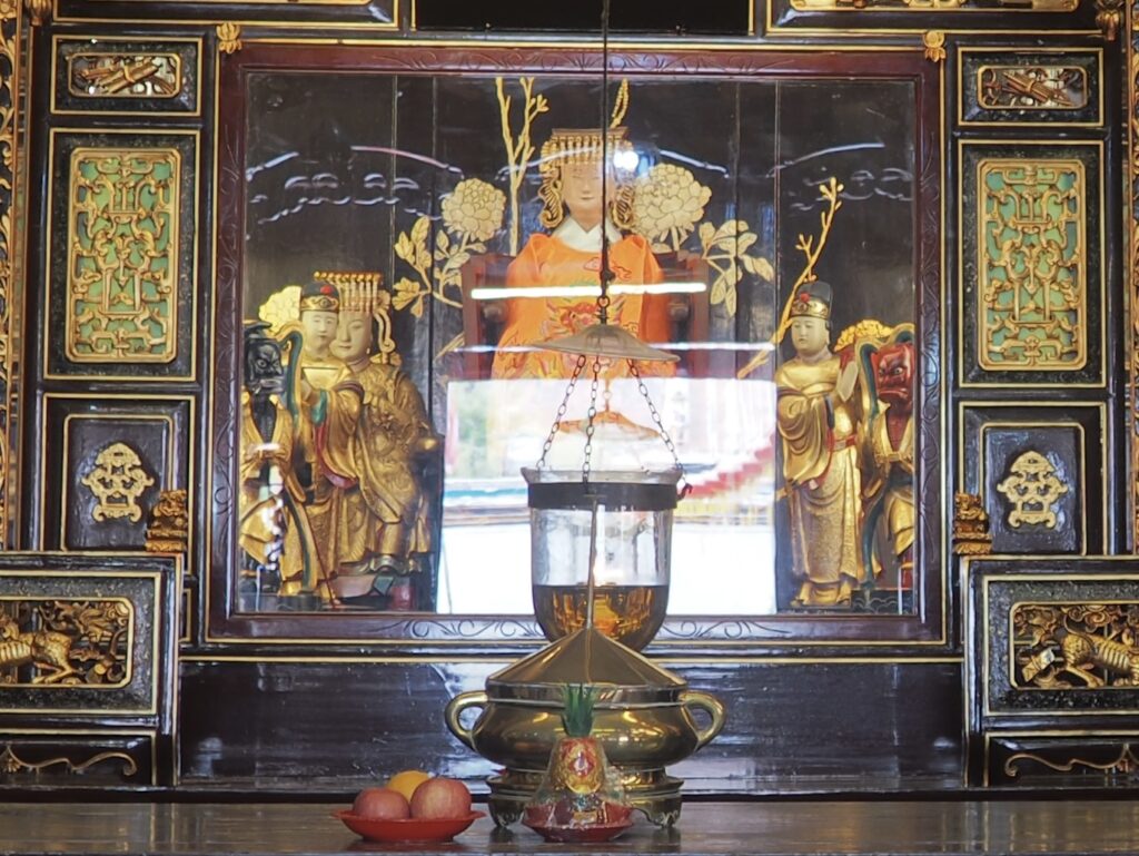
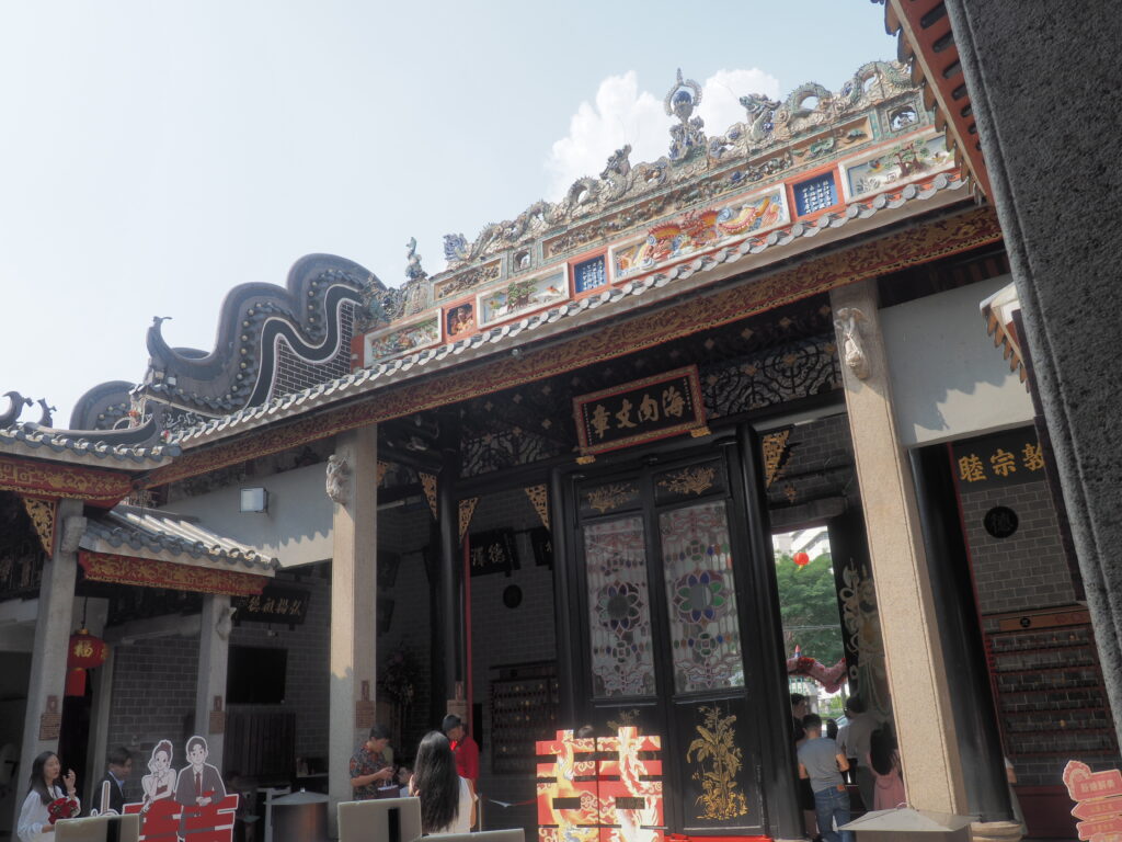
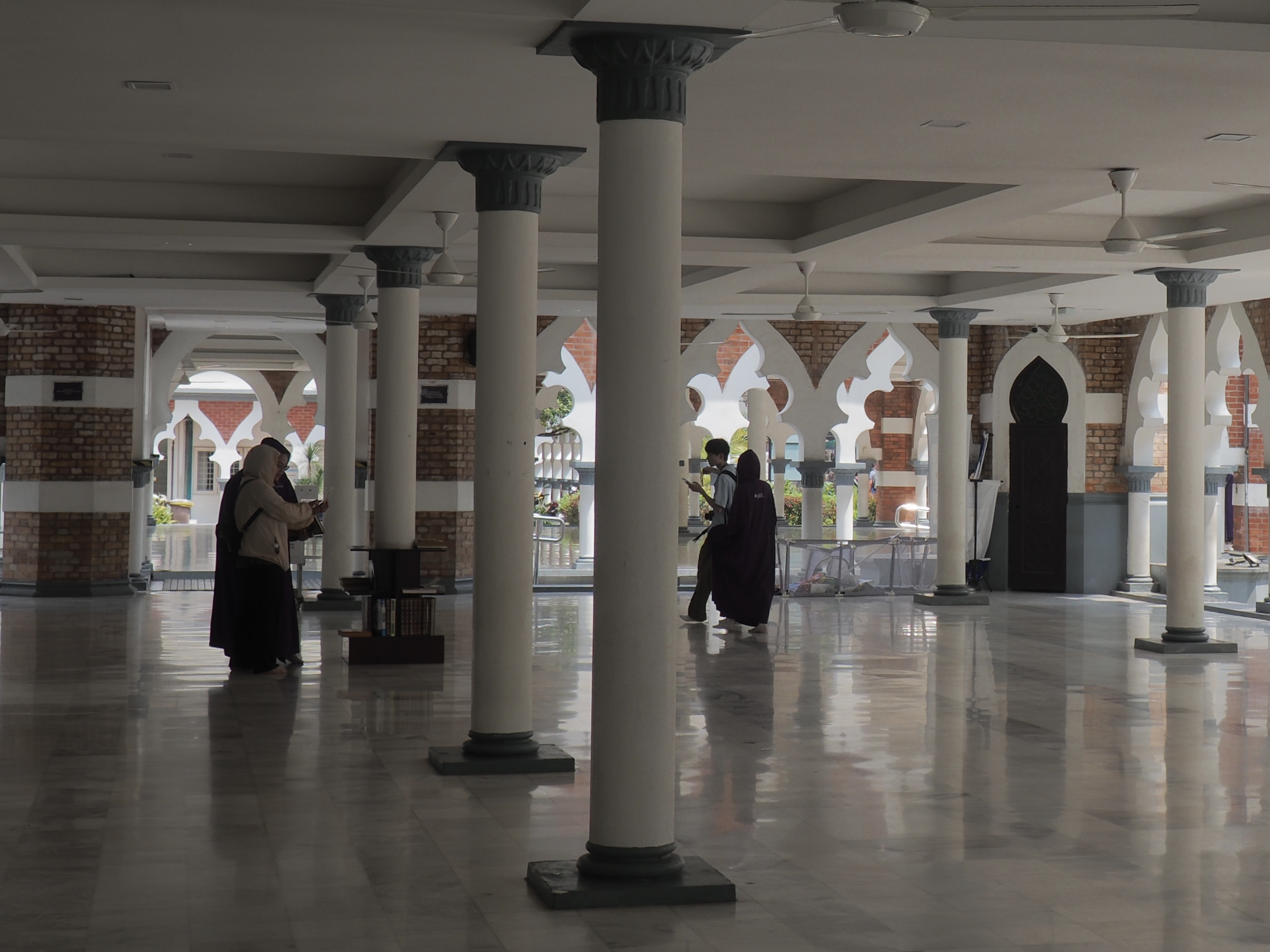
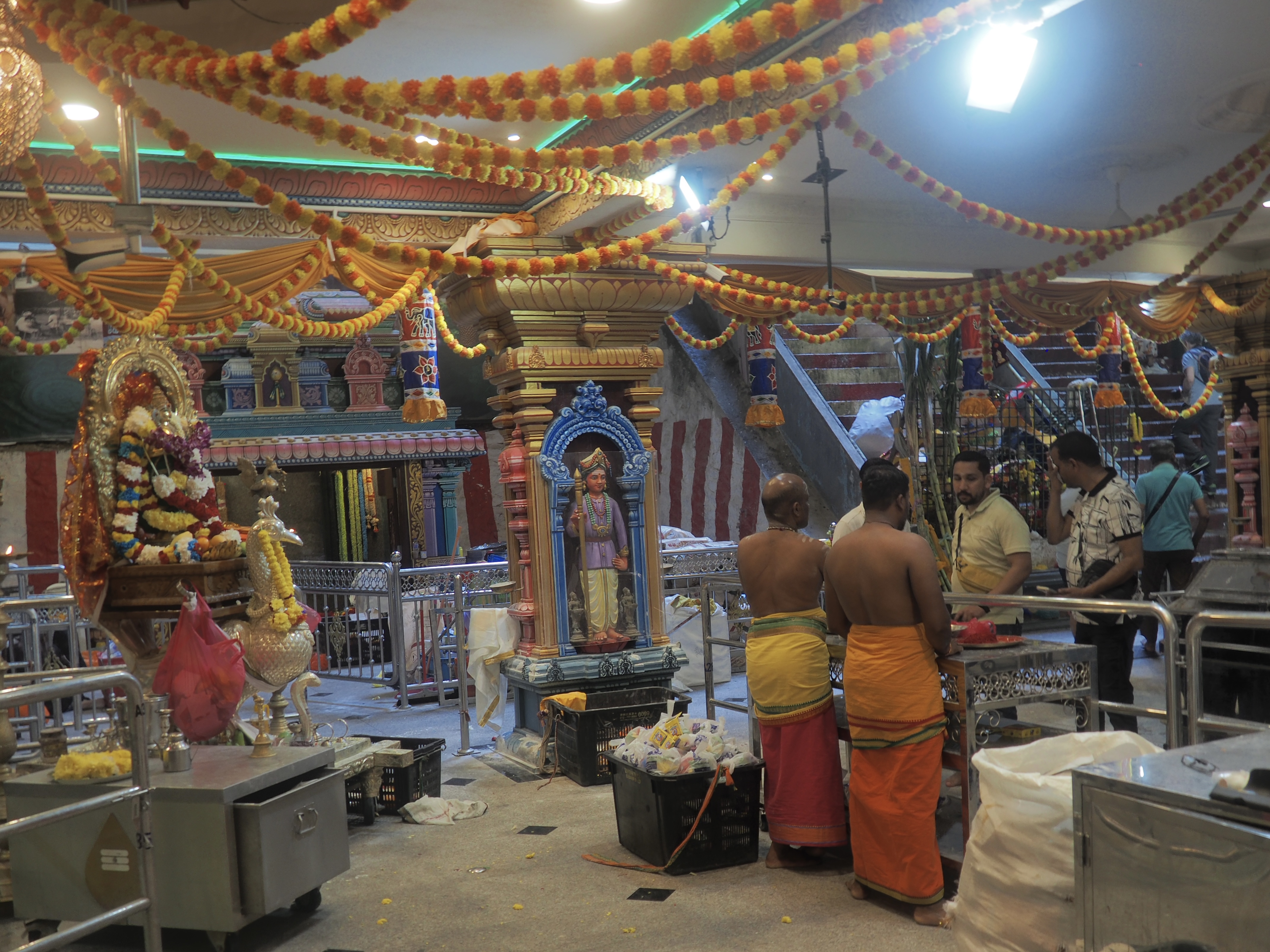
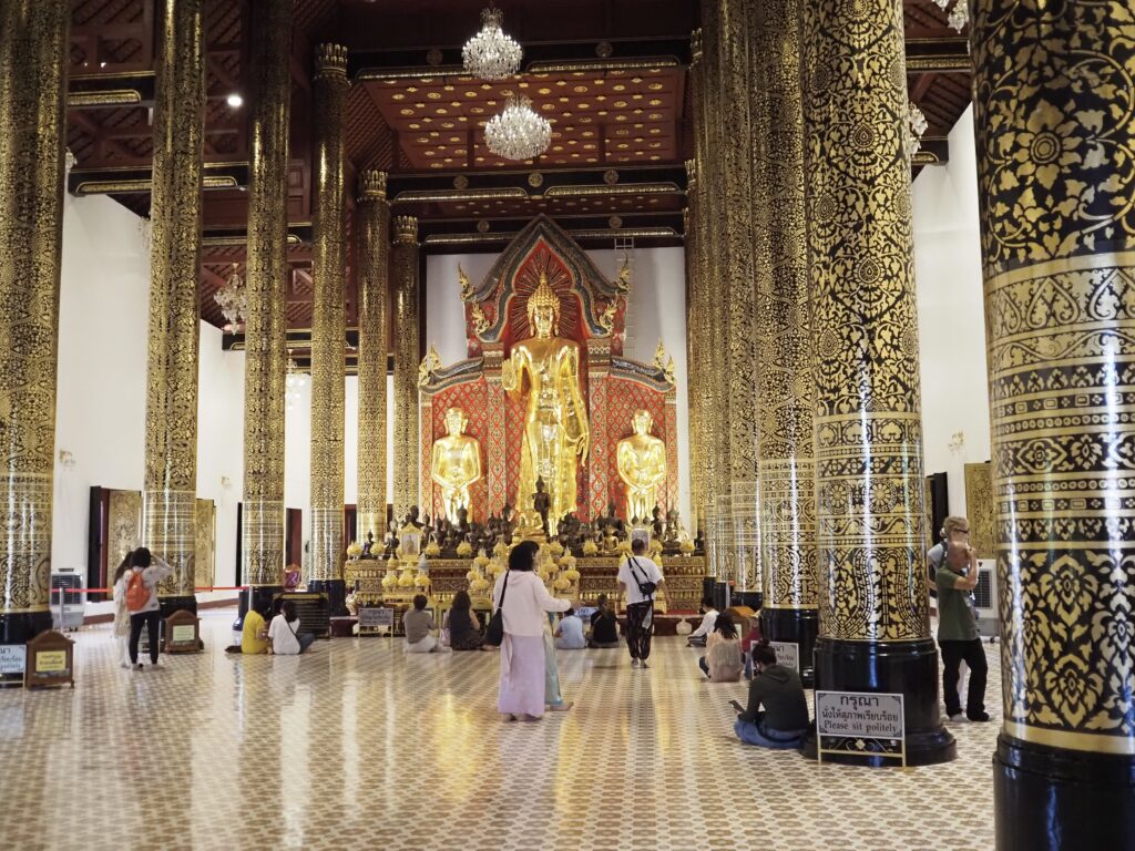
Mexico City’s Metropolitan Cathedral is enormous, although we never got a really good look. The first time we went in, we mistook a chapel for the main event. The second time we were limited by arriving during Mass. So, none of these photos shows the main sanctuary. Very nice, but having been in lots of cathedrals, we decided to keep moving. And, yes, it’s the cathedral built over the Aztec sacred precinct where the “Aztec Calendar” had been used as part of the foundation. Continuous collaboration between ecclesiastical and civil authorities will be needed to assure both responsible archeological research and stability of all of the surrounding area.


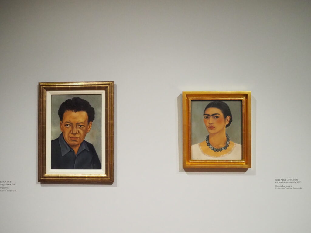
Diego and Frida. Frida and Diego. The power couple of Mexican art and obsessed with each other. He, 20 years older and already the most famous artist in Mexico when they met. She, the consummate artist of suffering whose reputation has only grown larger since her death at 47.
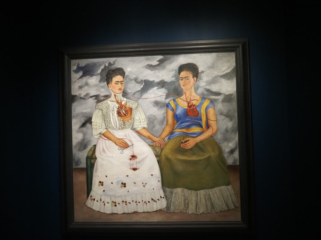
Here, The Two Fridas, one of her most iconic paintings and a great example of her use of surrealism, in this case embodying the conflict she felt between being an authentic Mexican woman and an artist living a life in the sophisticated international milieu of the arts and politics. During our visit to the Modern Art Museum, a loan from a Santander private collection had allowed us to see 11 of her paintings, rather than the one in their permanent collection.
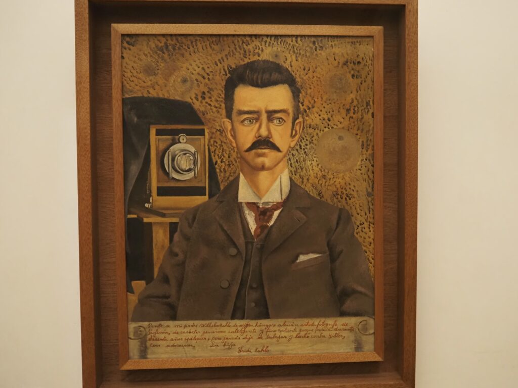
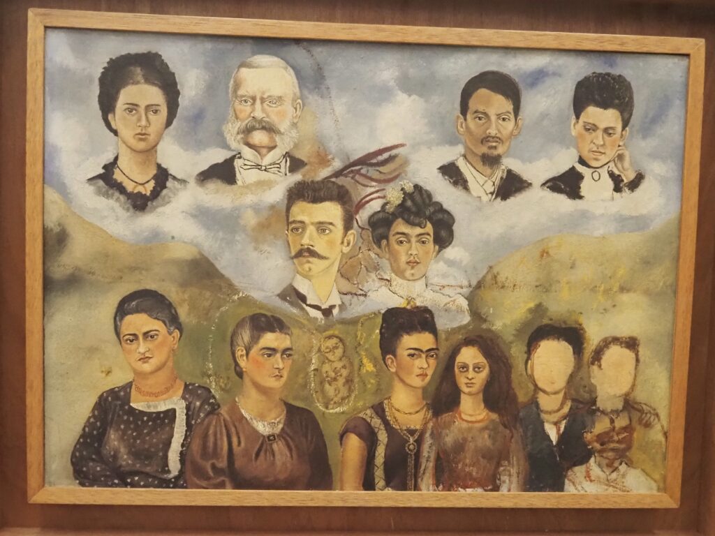
Frida Kahlo’s father was a German immigrant, a chemist and a prominent photographer. Her mother came from a family that blended Spanish and indigenous heritages and with which Frida strongly identified.
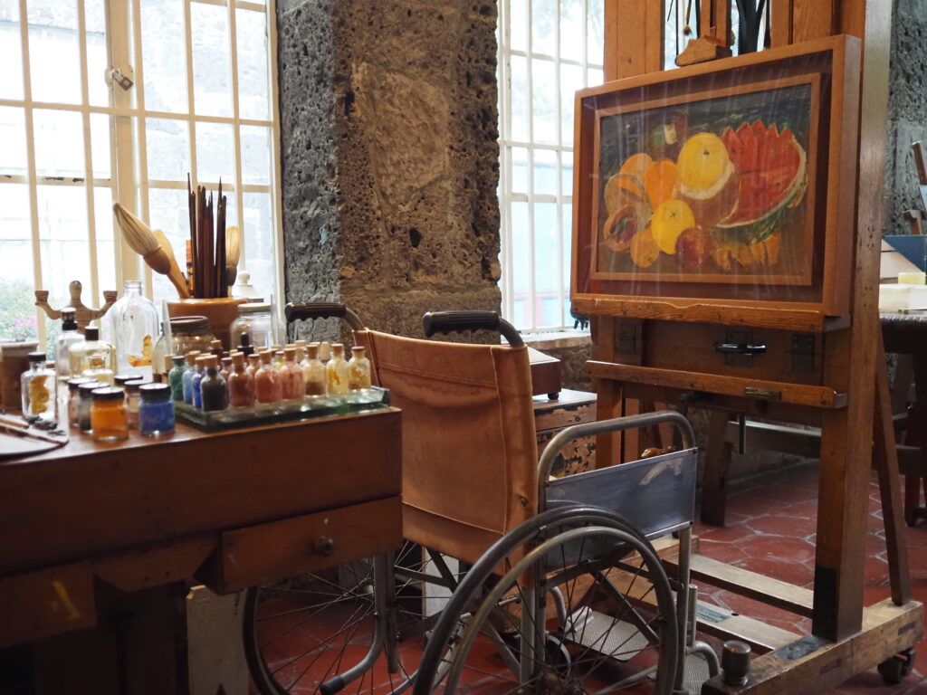
She was disabled by polio from an early age and resented how differently she was treated by schoolmates and others. It was a horrific accident when she was 18, however, that greatly affected her life with a broken spine and a substantial piece of the bus she was riding impaling her such that there was serious doubt as to whether she would survive.


She was confined to bed, using mirrors to continue creating. Most of her life was spent in her parents’ house – The Blue House – in Coyoacan, at that time more of a village close to Mexico City. When they married, Diego Rivera lived there with her (on and off). Leon Trotsky was also a guest, as the Mexican government had been persuaded by Diego to give him refuge when he was on the run from Stalin. When he and Diego had a huge falling out (Trotsky telling Diego that he was naive when it came to politics – undoubtedly true), Trotsky found his own lodging and was, of course, assassinated (and Diego found himself under suspicion).


Frida and Diego had, putting it mildly, a rocky and tempestuous relationship. He had too many affairs to count, including with Frida’s sister. She, in turn, had a few herself with people ranging from Georgia O’Keefe to Mr. Trotsky. Ah, . . . the drama of it all.


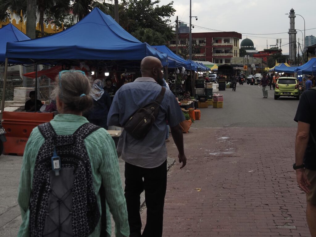
We explored a number of neighborhoods by taking advantage of guidebook recommended walking tours. At bottom right is the National Palace, home to the legislature and the President, although we couldn’t get in to see even more Rivera murals because she was hosting the President of the European Union.


The Museum of Popular Art.


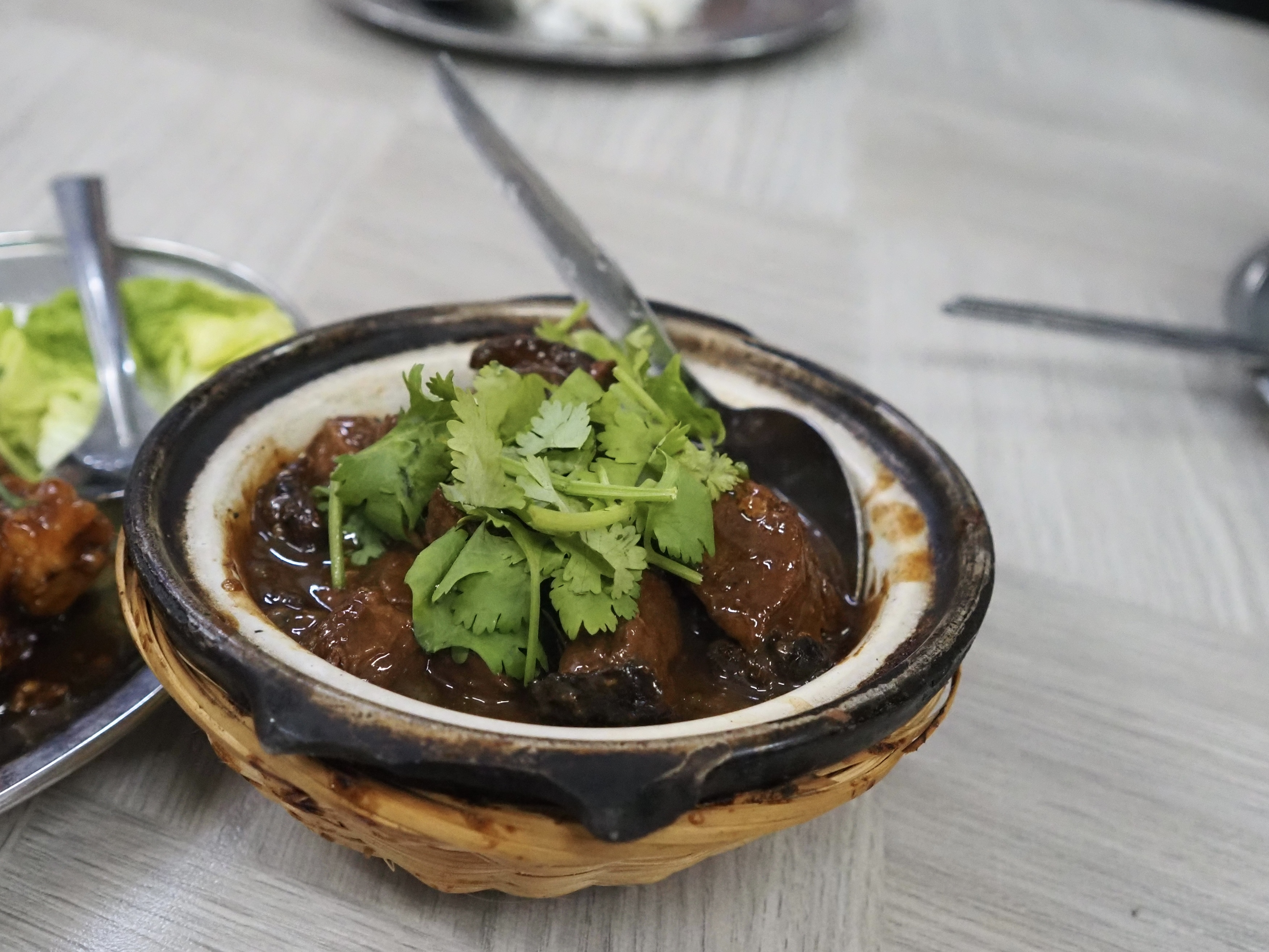
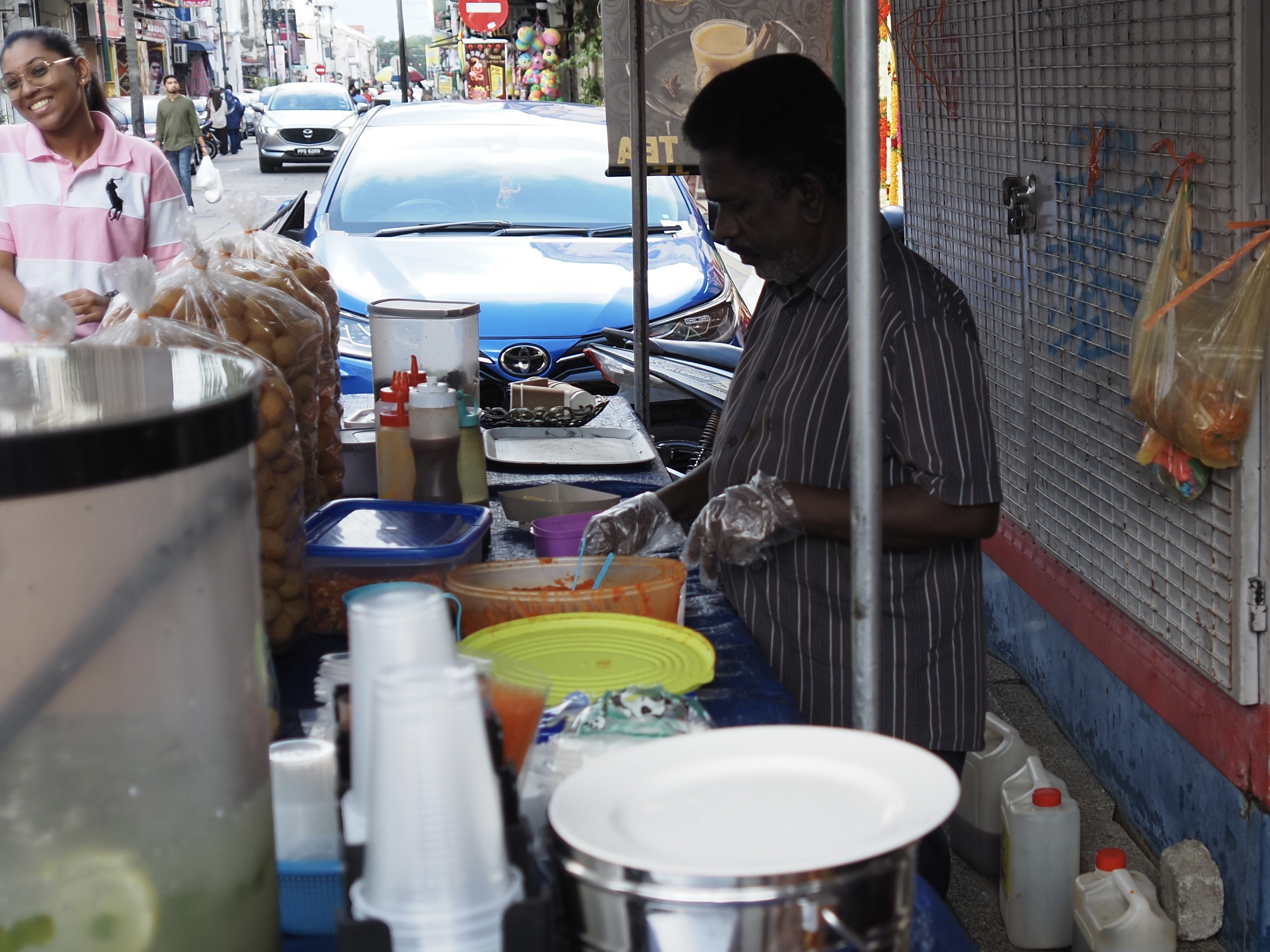
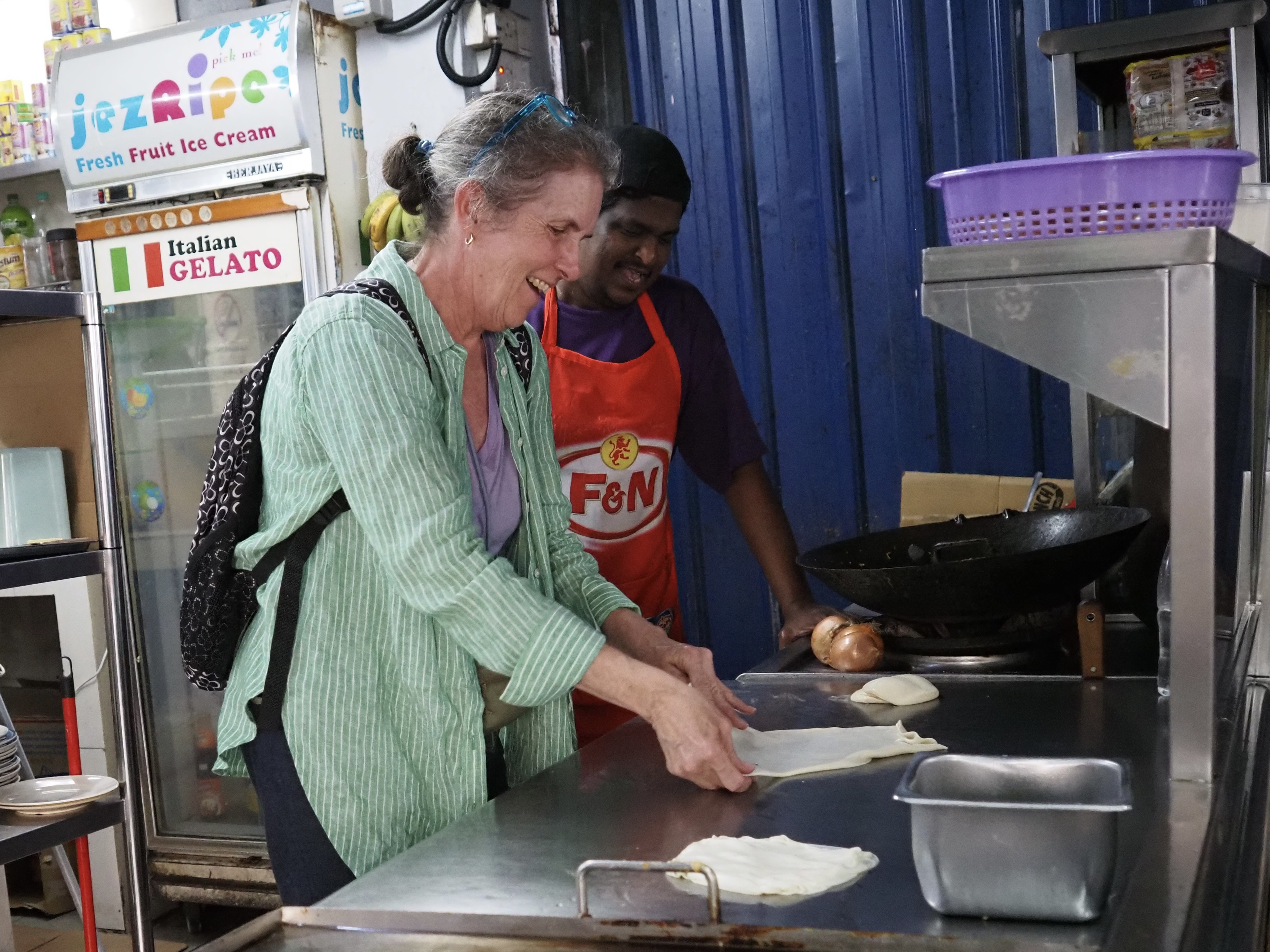
Food. Always one of the most important things about anywhere we go. Here we’re at La Rifa enjoying hot chocolate made from single source washed beans, rather than fermented beans (apparently the norm in the world of chocolate). Oddly enough, our favorite meal was Indian at another place in our neighborhood.