And, There’s More! West Tex/New Mex Revisited.

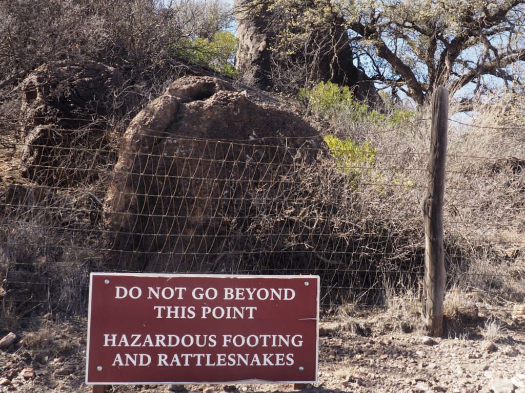
We had picked a great time to explore Big Bend and more in West Texas and southeastern New Mexico. The rattlesnakes were laying low in the chilly January weather.
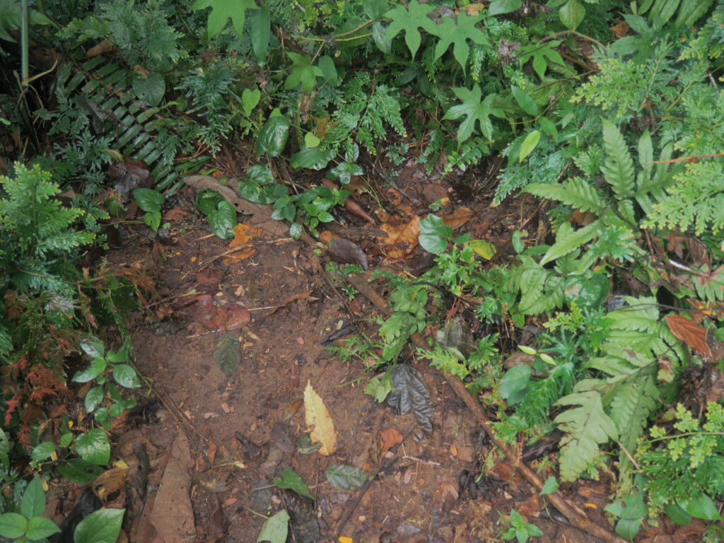
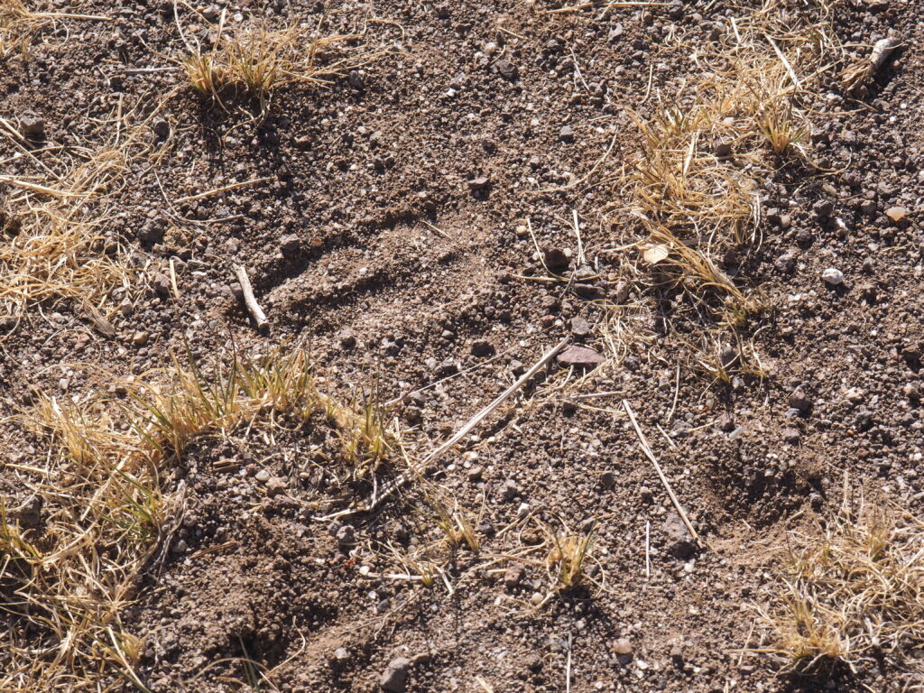
“No, this is not a javelina track,” we were corrected by the Ranger, “it’s an invasive sheep.”
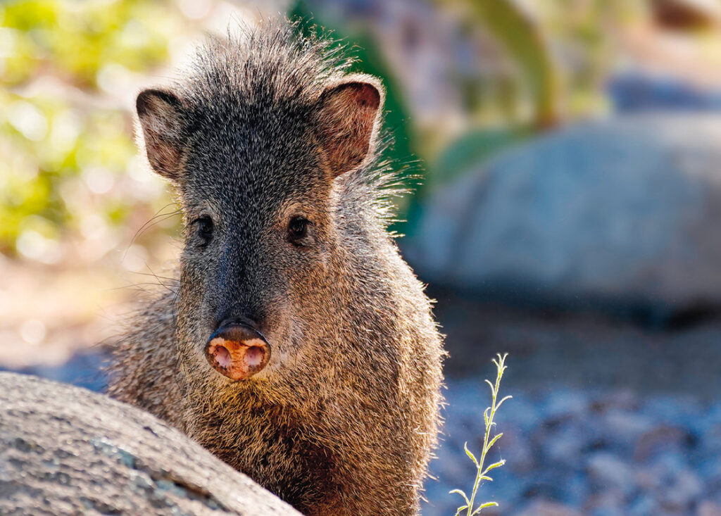
Source: Arizona-Sonora Desert Museum. Desertmuseum.org.

This is not a pig; the authorities are quite adamant. Pigs are eastern hemisphere animals and javelinas (that’s an initial “h” sound, amigo) or “collared peccaries” are western hemisphere animals, their ancestries having diverged 40 million years ago. But, they sure look like cute little pigs, although the Ranger is very wary of them, having been chased up a tree as a child by a scavenging mob of these very short sighted desert and grassland dwellers from here south to Argentina who keep track of each other with a keen (though not very refined!) sense of smell, thanks to overactive musk glands. We were delighted to eventually spot some ourselves, but alas no photo of our own and no wish to get too close.

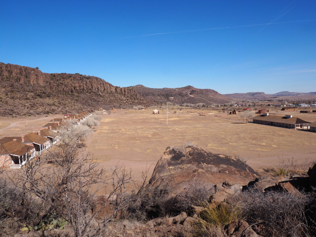
Fort Davis Officers Quarters, Fort Davis National Historic Site, Fort Davis, TX
Officers Quarters are on the left of the Parade Ground, Enlisted Men’s barracks on the right. Behind (unseen) on the left is the Post Hospital. On the right, more barracks (including one for the regimental band), stables, corrals, storehouses, a bakery, commissary, and granary. Some buildings are restored and furnished; some have only foundation walls.

A frontier military post, Fort Davis protected freighters, mail coaches and other travelers on the San Antonio- El Paso Road, as well as settlers and villagers against raiding by Comanches and Apaches passing through the area from 1854 to 1891. Few Indians lived in the Trans Pecos, but raiding was part of their lifestyle when they were passing through. The Fort was largely abandoned during the Civil War, but regained its mission in 1867, this time with Buffalo Soldiers comprising infantry and cavalry to conduct the Indian Wars.

At its largest extent in the 1880s the Fort counted 400 soldiers. By 1891 it no longer had a purpose.
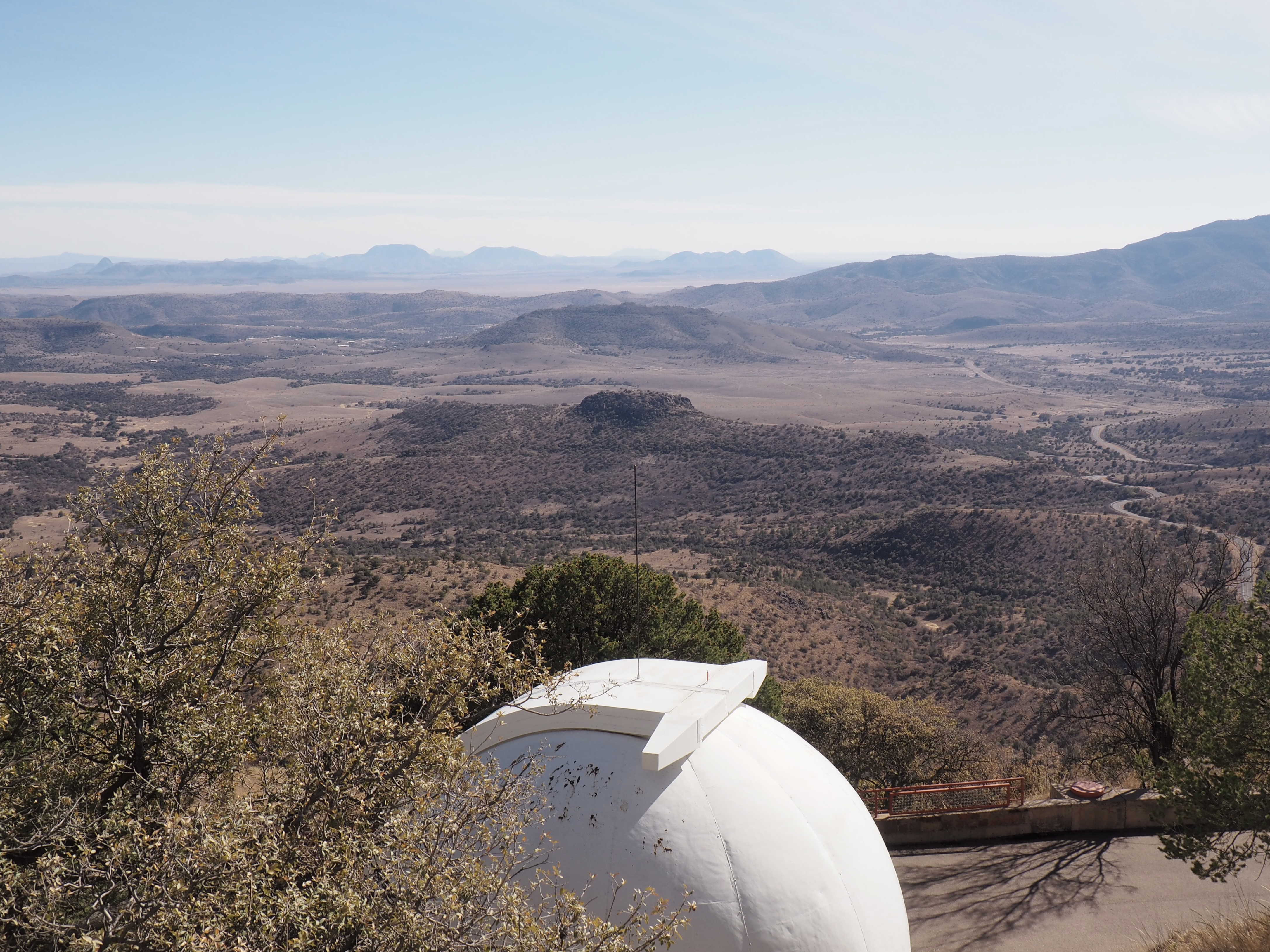
They continue to make history at the McDonald Observatory in the Davis Mountains (part of the University of Texas at Austin) where there’s more than one way to look into the universe. Even after a visit, we’re not sure of the number, but perhaps eight telescopes, including 3 major ones? It was impressive.

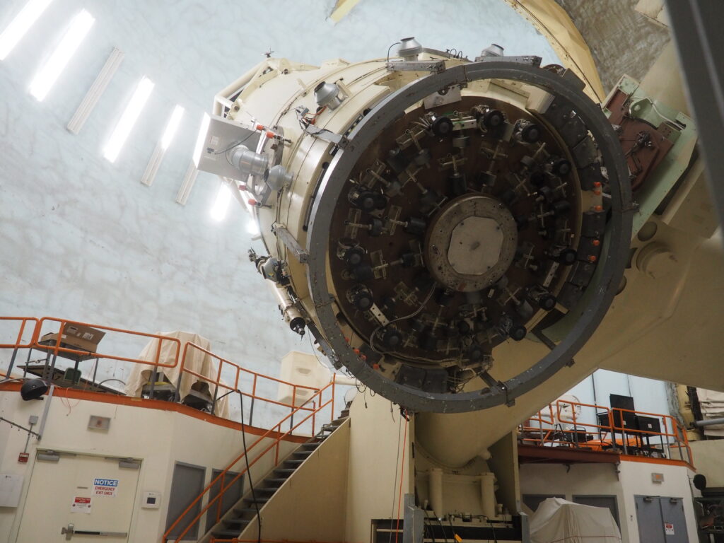
This little 107” beauty (that’s the mirror size) is housed in a room that’s kept at nighttime temperatures to avoid wasting the time needed for thermal adjustment. The principle mirror is so large that the black devices you see on the bottom are there to correct for the deformation of the mirror from gravity as it is maneuvered into different positions. The light, after bouncing around among mirrors, travels down through the arm holding the telescope to a room below to be put through an enormous spectrograph. Although capable of taking awe inspiring photographs, the various telescopes here are focused on spectroscopy through which they provide information about the distance, movement and composition of the phenomena they study. This telescope was also used to bounce a laser off mirrors left on the moon, a laser range finder. From these observations, it was found that the moon is moving away from the earth roughly 1.5” per year and has a bit of a wobble in its rotation. The mirror of the telescope is fused silica and has an incredibly thin layer of aluminum which is cleaned with dry ice and removed and reapplied frequently.

The Hobby-Eberly Telescope is harder to understand.

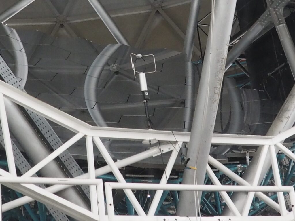
Specially built for spectroscopy, with its 433” mirror, the “HET” doesn’t have a barrel aimed at the sky. Instead, the mirror rests on a sort of bed at a 55 degree angle which is rotated to take in 70% of the nighttime sky. The mirror can be seen in the first photo and is made up of 91 hexagonal components, such as the one in the display, that are made of a material that is thermally neutral. Looking again at the first photo you can see the honeycomb-like surface. That’s the mirror (on which are reflected structural supports). Among the projects the telescope is currently working on are an effort to identify planets in a habitable zone and to look back over 11 billion years to determine if dark energy has been changing.

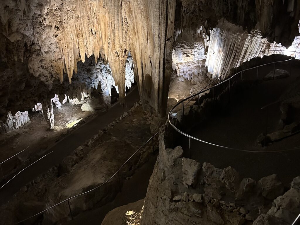
From exploring outer space to plumbing the deep within – we headed to the Carlsbad Caverns where the bat viewing amphitheater was empty because they were either down in Mexico for the winter or snuggly hibernating (depending on species).

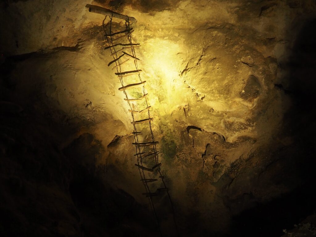
It was a 16 year old Jim White, a young cowboy, who noticed what he thought must be a brushfire. Investigating, he saw that it was thousands upon thousands of bats emerging from a large hole in the ground. Being a fearless young lad, he cobbled together a ladder using barbed wire and discovered a whole new world to explore that took him years to convince the world to pay attention to.

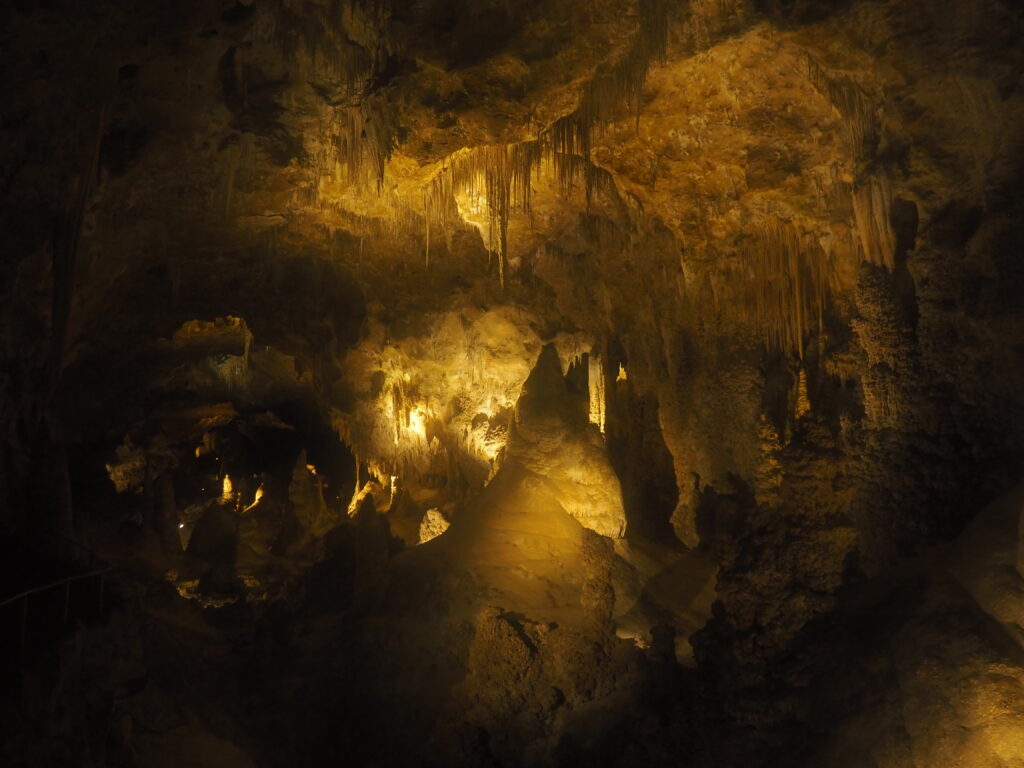
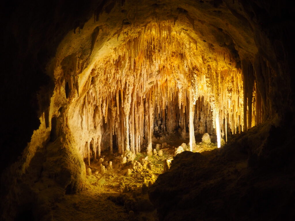
Taking the “Natural Entrance,” rather than the elevators installed in the 1930s, down more than a mile into the cavern provides only the most tame sense of what it must have been like in the 19th century. As it is, the path is very dimly lit, so that it occasionally feels like fellow hikers down into the depths are phantoms in the netherworld. Glowing signage either explains your surroundings or offers assurance of rescue if things go wrong.

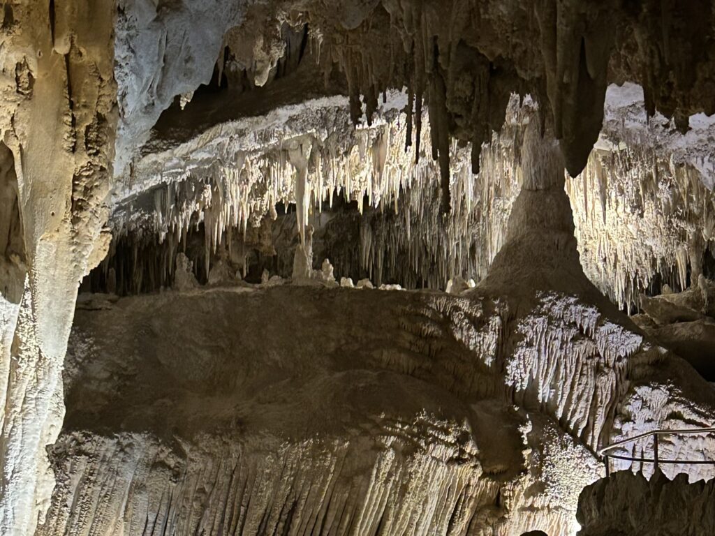
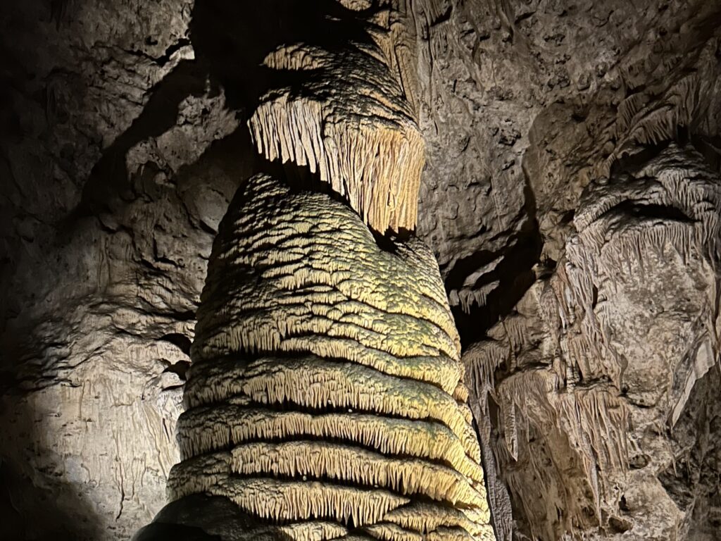
What distinguishes Carlsbad is the immense size of the subterranean rooms (the largest of which is the largest in North America) and the way in which they were formed. Due to the presence of petroleum deeper down, hydrogen sulfide rose through the limestone forming sulfuric acid which aggressively eroded the rock, forming enormous voids. The gases then vented up through what is now the Natural Entrance. There are numerous caverns, but only one that can be visited.

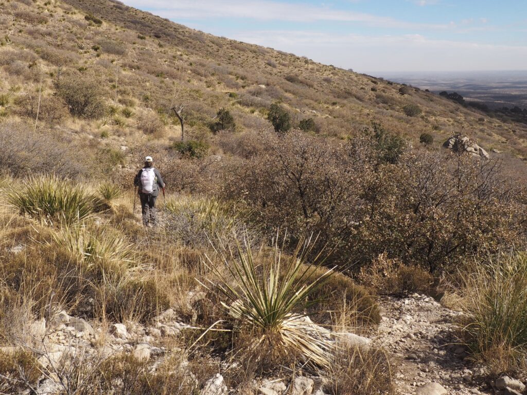
Carlsbad Caverns are in the Guadalupe Mountains, but a separate National Park reminds us that there is more to see than a cave.

Before there was the Pony Express, Butterfield Overland Mail had stations 20 miles apart from St. Louis to San Francisco; this Pinery Station is the last remnant anywhere near a major highway and was the station at the highest altitude (5700’). Not much left here, but a good reminder of how difficult communications were not all that long ago (given that Jim’s grandfather delivered mail on horseback back in rural Pennsylvania).

Pretty much contemporary with that grandfather, John T. Smith founded Spring Hill Ranch in 1906 (the family is posing in 1914) because a number of springs would provide essential water.

It was a very nice hike up to the highest of those springs (Smith Spring) where, coming down, we happened on this tiny snowman left for us by a fellow hiker.

and, it’s off to New Mexico . . .

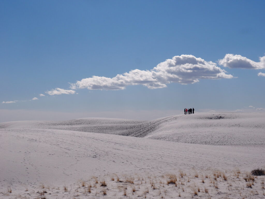
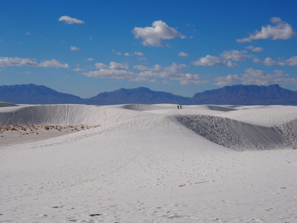
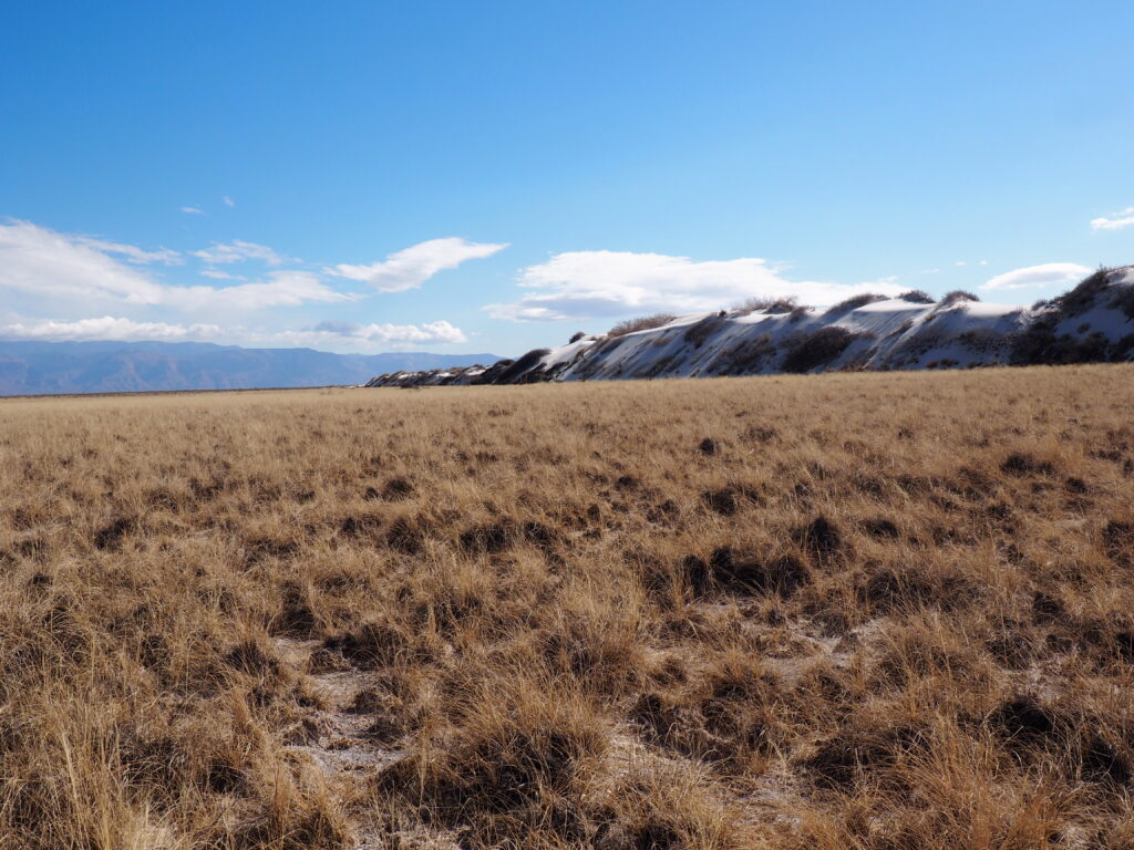
It could only be White Sands and the White Sands National Park, the largest gypsum dune system in the world . . .
. . . 275 square miles of shifting and drifting gypsum sand on top of the Chihuahuan Desert . . .
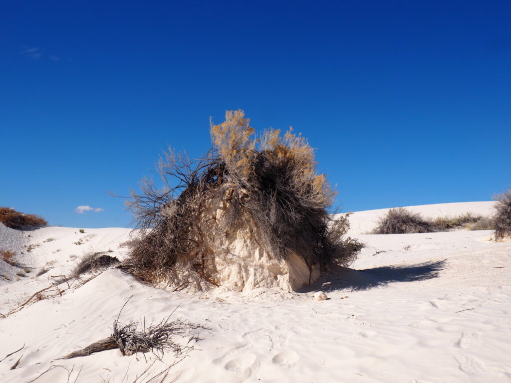
. . . with water not far beneath the surface supporting a variety of plant and animal life, such as this skunkbush sumac whose deep roots form a pedestal after a dune has moved on.

White Sands is an exceedingly rare National Park where you may wander where you want, on trail or off because, as a Ranger agreed, there’s hardly anything to hurt, except yourself. There’s also an exceptional density of warnings focused on hydration and getting lost. With tracks, mostly human, going every which way, it’s difficult to find your way back to your car if you’ve gone any distance and you’re not paying close attention. Trails are quite comforting, as is sledding right at a parking area (sleds are rented and sold in the store).

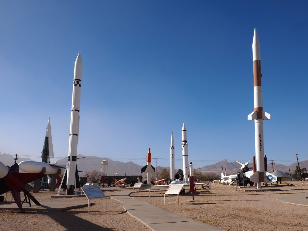
Missile Park, White Sands Missile Range. “Photographs may be taken in the Missile Park, but only if that mountain range is in the background. Plus no photographs of the gate area or of anyone in uniform.”

The White Sands Missile Range (formerly the White Sands Proving Grounds) surrounds the National Park. The Park is frequently closed due to activity at the Missile Range and, indeed, a significant portion of the Park was a “do not stop your vehicle under any circumstances” zone during our visit due to a plane crash some six months prior in the Park.

When the Manhattan Project folks were ready to test the first ever nuclear explosion, this is where it happened, not at Los Alamos. The first use of a nuclear bomb, dropped on Hiroshima, was delivered by Fat Boy. And, bringing us more up to date, that’s a Patriot missile and launcher.

The small base museum is quite a good museum, covering a very wide variety of subjects, but solidly – everything from geology and prehistoric times through settlement and the Indian Wars to the beginnings of the space age. Pictured is how we used to keep track of scheduling before the computer age.

Finally, the grateful sound guy at Lucas Films presented Darth Vader to the Missile Range as a special thanks for being able to record authentic missile sounds for Star Wars, making us wish all of this capacity for destruction were fictional.

Way Down to Big Bend

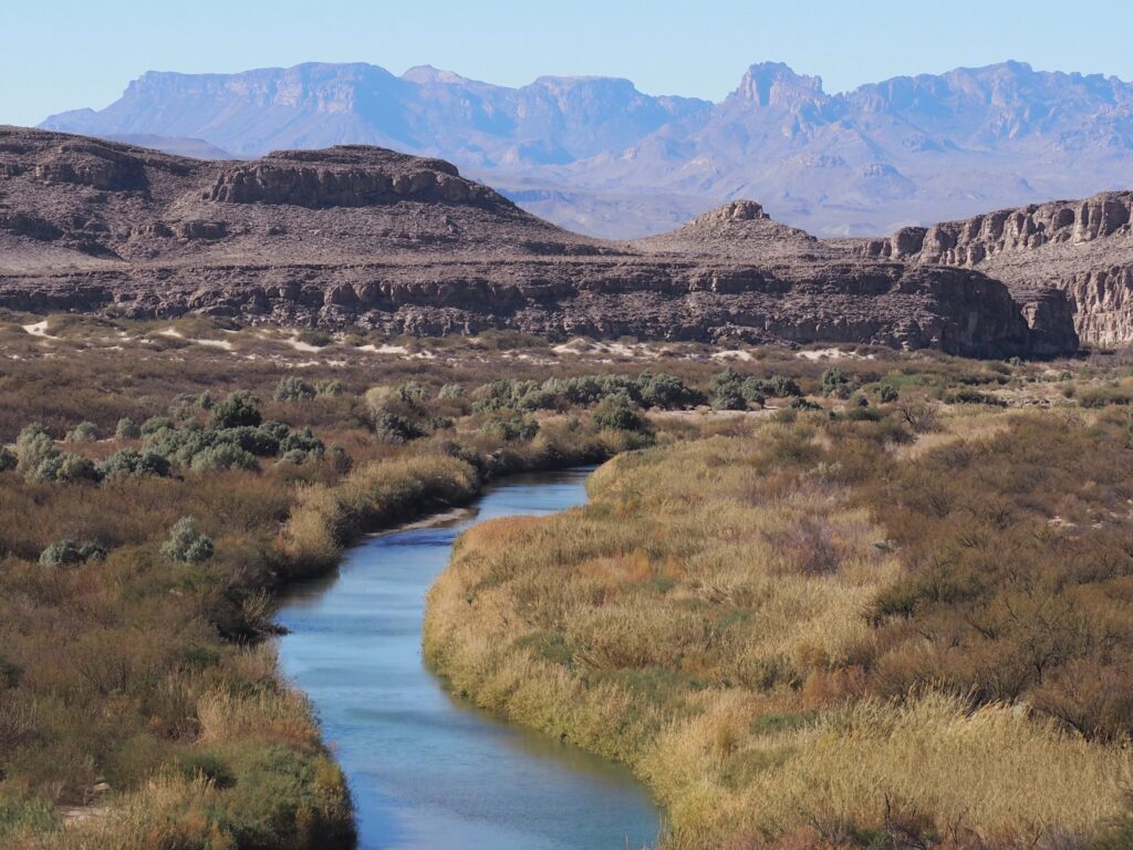
The Rio Grande carves the shape of southwest Texas out of mountainous desert terrain, defining what is the USA and what is not.

For our January visit to Big Bend National Park we flew into El Paso where we managed a snowy hike in the Franklin Mountains and dropped in on family. The bottom portion of the trail was rough going over a long stretch of scree. Returning at the very end of our journey we found ourselves in the middle of a mountain biking race and abandoned the mountain, greatly impressed that most of the riders managed to give us a friendly greeting.

On the way to Big Bend, we confirmed our American citizenship for the well-armed but (also) friendly Border Control people along the highway, noticed that impressive surveillance dirigible tethered due to the weather, and on the way to spending the night in the very un-Alp-like (but boasting a functioning restaurant, albeit in the bar, and wonderful murals throughout town) Alpine, we stopped by Marfa with its movie set vibe, best known for the Hotel Paisano where the 300 cast and crew for Giant all stayed in 1955, including James Dean, Elizabeth Taylor and Rock Hudson (how many to a room we didn’t ask). With the pedal to the metal numbing distances of Texas highways we were already becoming grateful for the upgrade to our big Volvo SUV when our ordinary rental turned out to have a not so slowly flattening tire while still in El Paso.

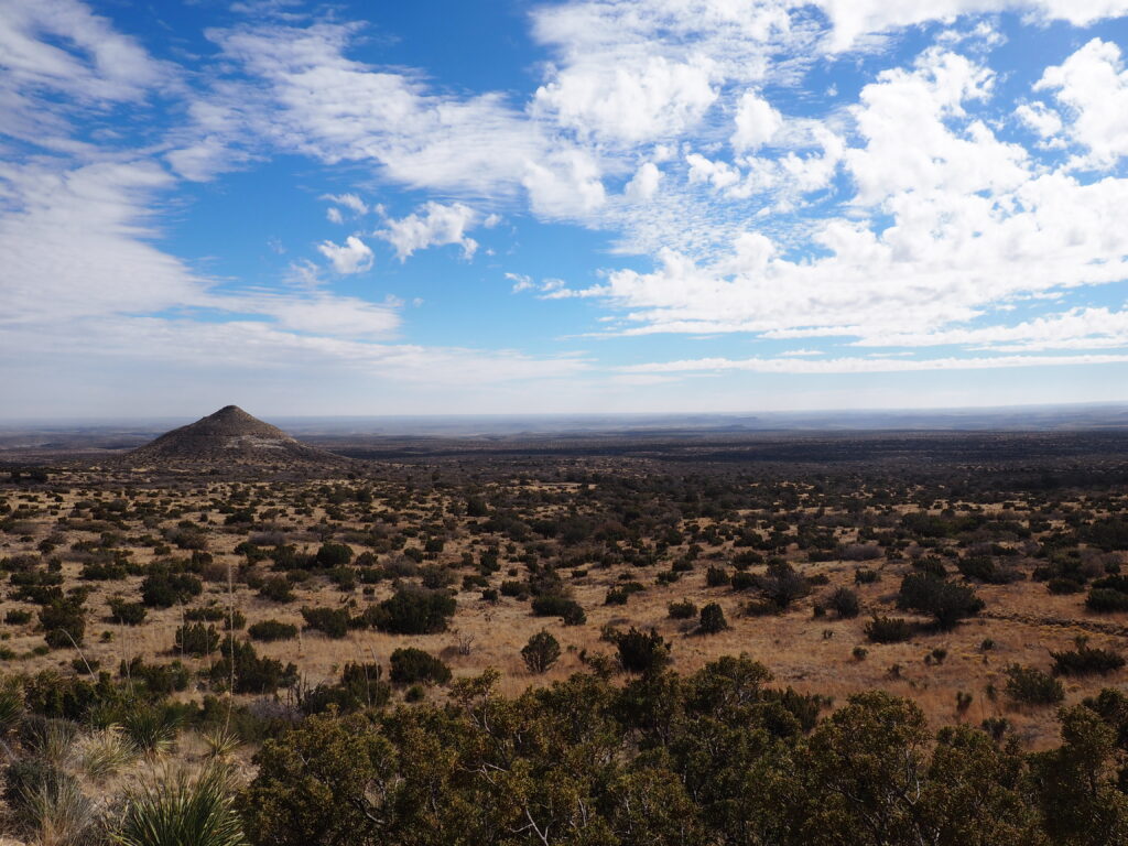
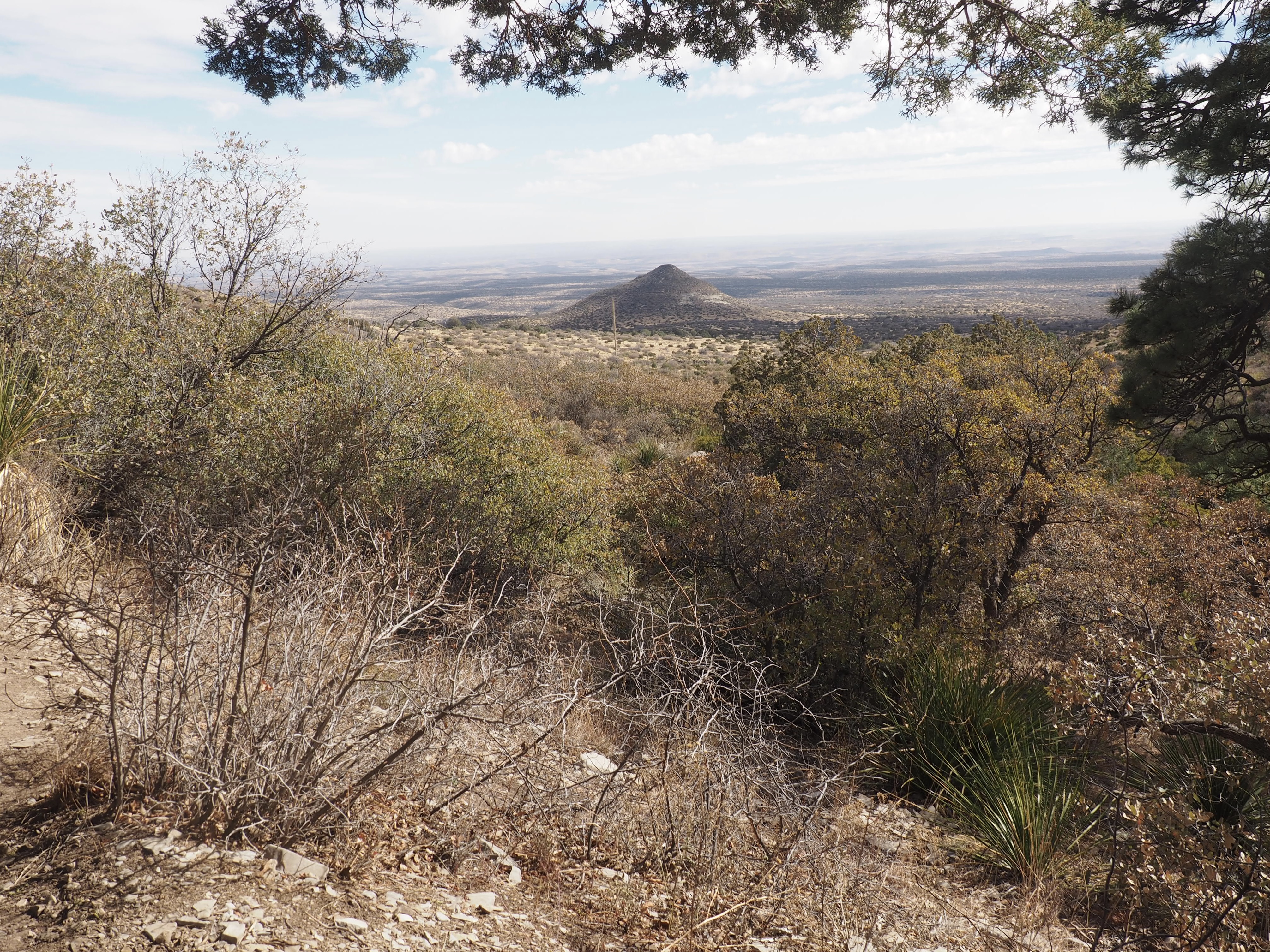
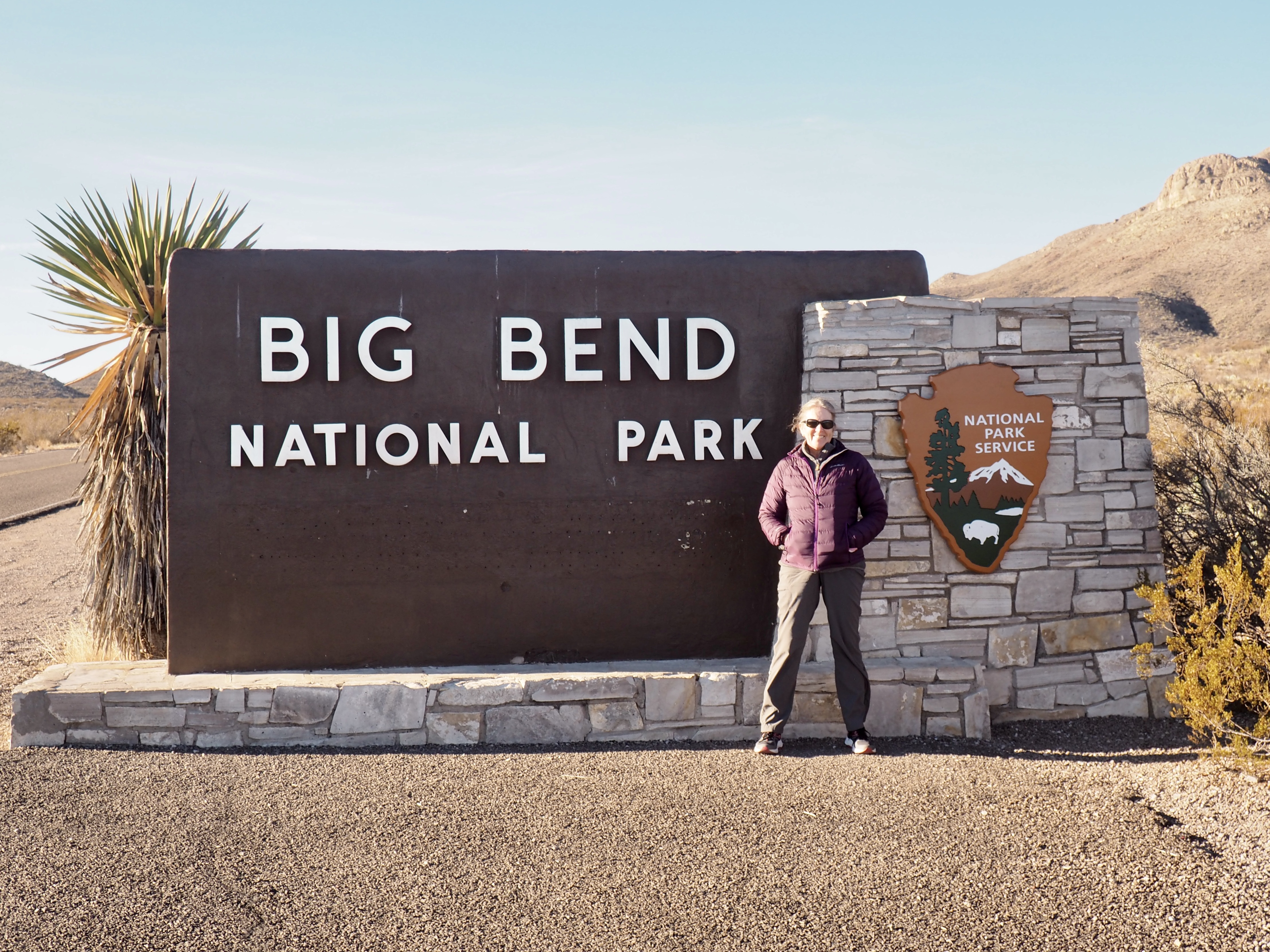
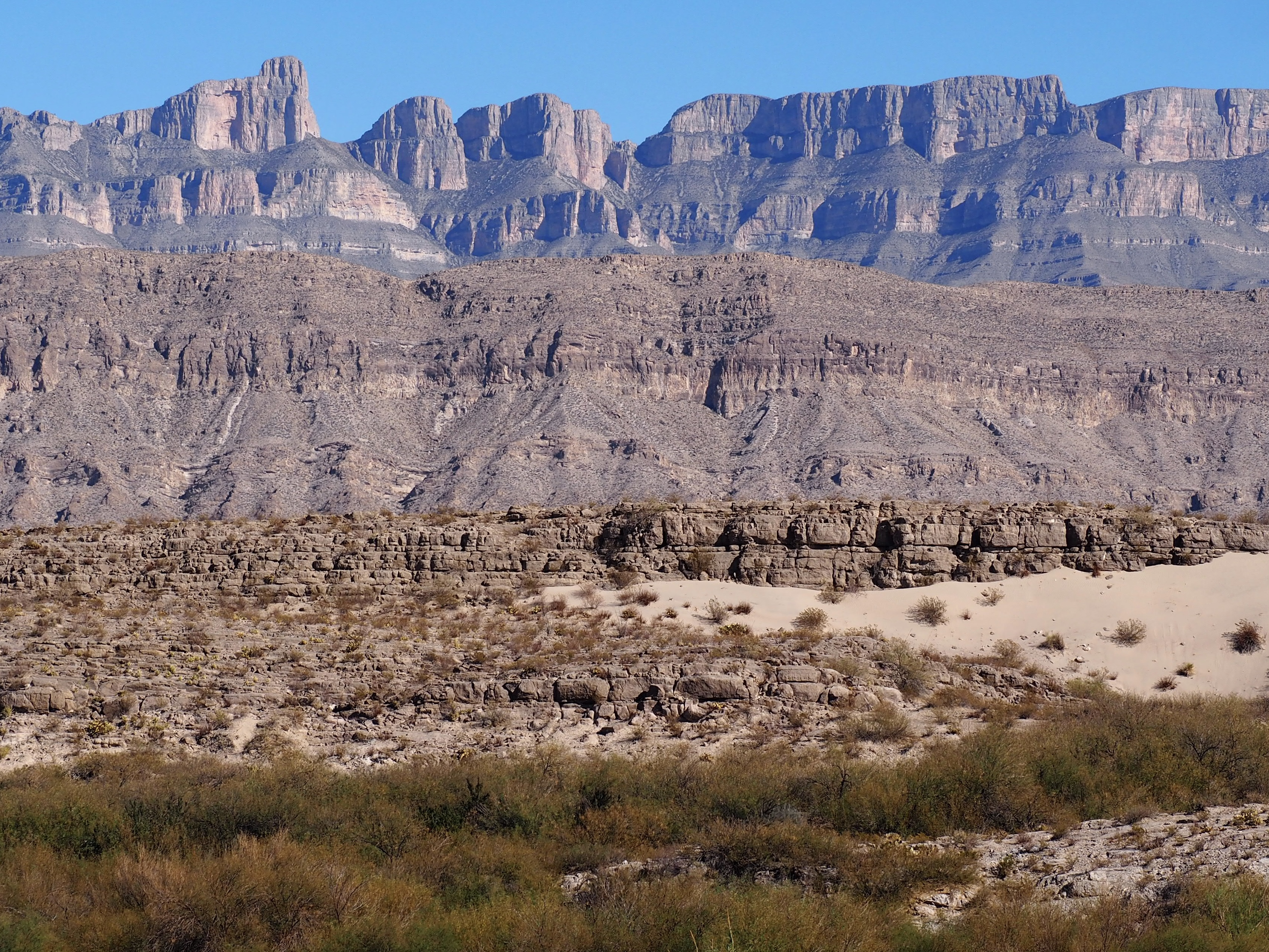
Big Bend is entirely within the Chihuahuan Desert and is the largest protected area of the desert in the United States. It also contains the Chisos Mountains, the only mountain range entirely within a National Park, essentially sky islands within the Park where the differences in elevation are around 6,000 feet.

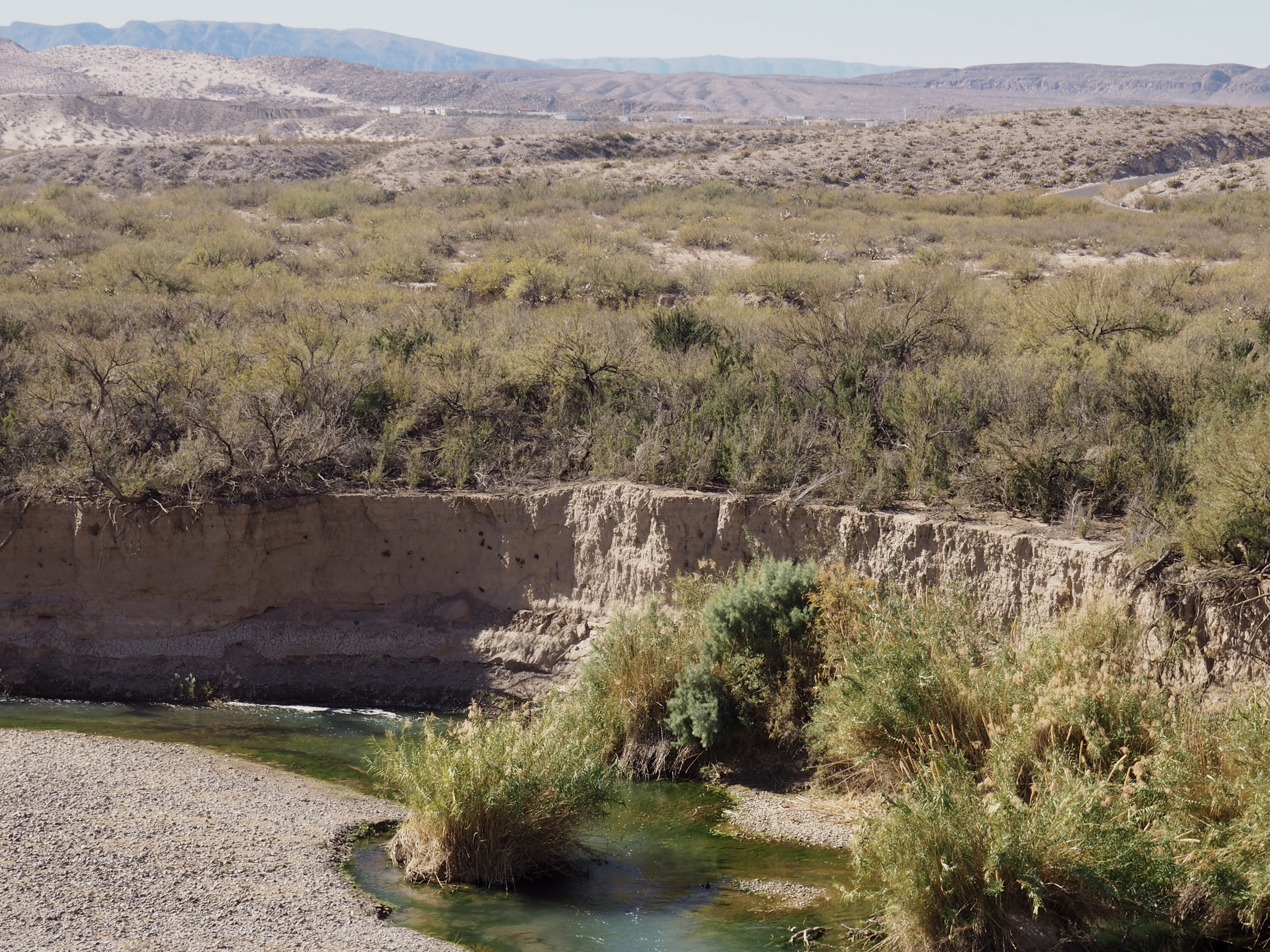
The border is where the center of the deepest channel had been in 1848, although the river has gotten a bit more shallow since then and is certainly not much of an obstacle to regular informal commerce (yes, that’s Mexico). It’s difficult to avoid road apples when following the trails close to the river on the east side of the Park in the area of the Park’s Rio Grande Village. There you’ll also find both the occasional seller of crafts and tamales, as well as many unattended displays of crafts with cash boxes. There is, by the way, a legal Border Patrol crossing where tourists cross to have lunch in a nearby village.

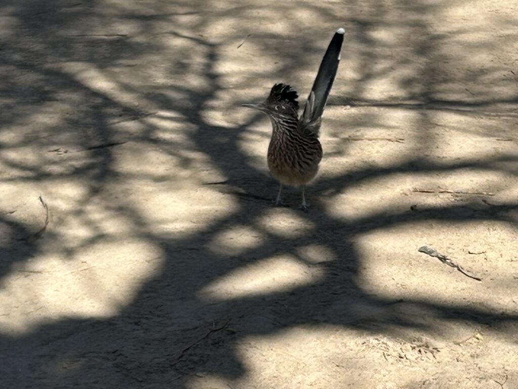
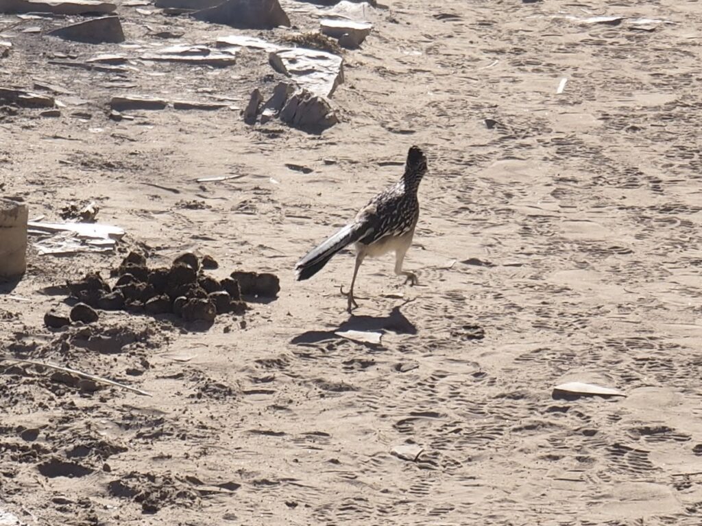
Being fans of those old cartoons, it had been one of our objectives to catch a glimpse of a roadrunner. In this, we overachieved. They were plentiful and not too shy, puffing up a bit if unsure of us fellow wanderers, relying on their amazing speed. And, they can fly, roosting in trees at night.

Although we were most drawn to the mountains and the greener areas along the river, we did keep venturing into the desert, as it was everywhere and, as always, a fascinating place. Here at Dugout Wells, where the windmill was essential for bringing up water, we saw the common prickly pear (the Englemann prickly pear) which is, of course, found all over North America, even on Cape Cod. However, the Blind prickly pear is only found in the Chihuahuan Desert and the Purple prickly pear is found only in the Sonoran and Chihuahuan Deserts (who knew?).

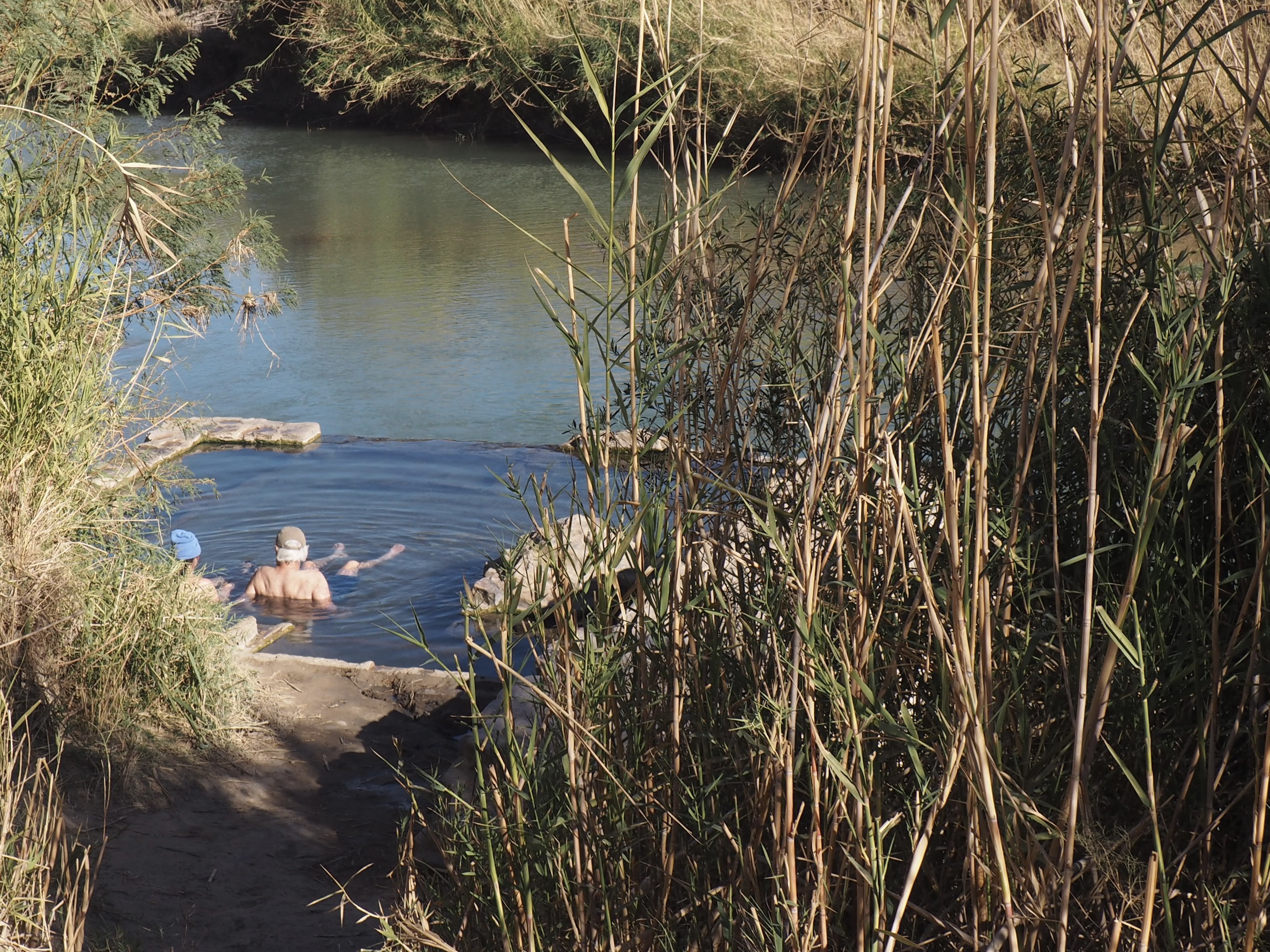
Working our way to Hot Springs, still on the east side of the Park, we decided to park up where the RVs were required to stay put, rather than plunging down the iffy road, per the advice of fellow tourists just returned from the riverside. Not tempted to walk the road, we followed a seldom used narrow trail leading to a scramble down to a flood plain and found our way to an abandoned motel site from J.O. Langford’s early 1900’s homesteaded stake on a 105 degree thermal spring along the river where you can soak in the ruins of a bath house and admire pictographs on the limestone cliffs.

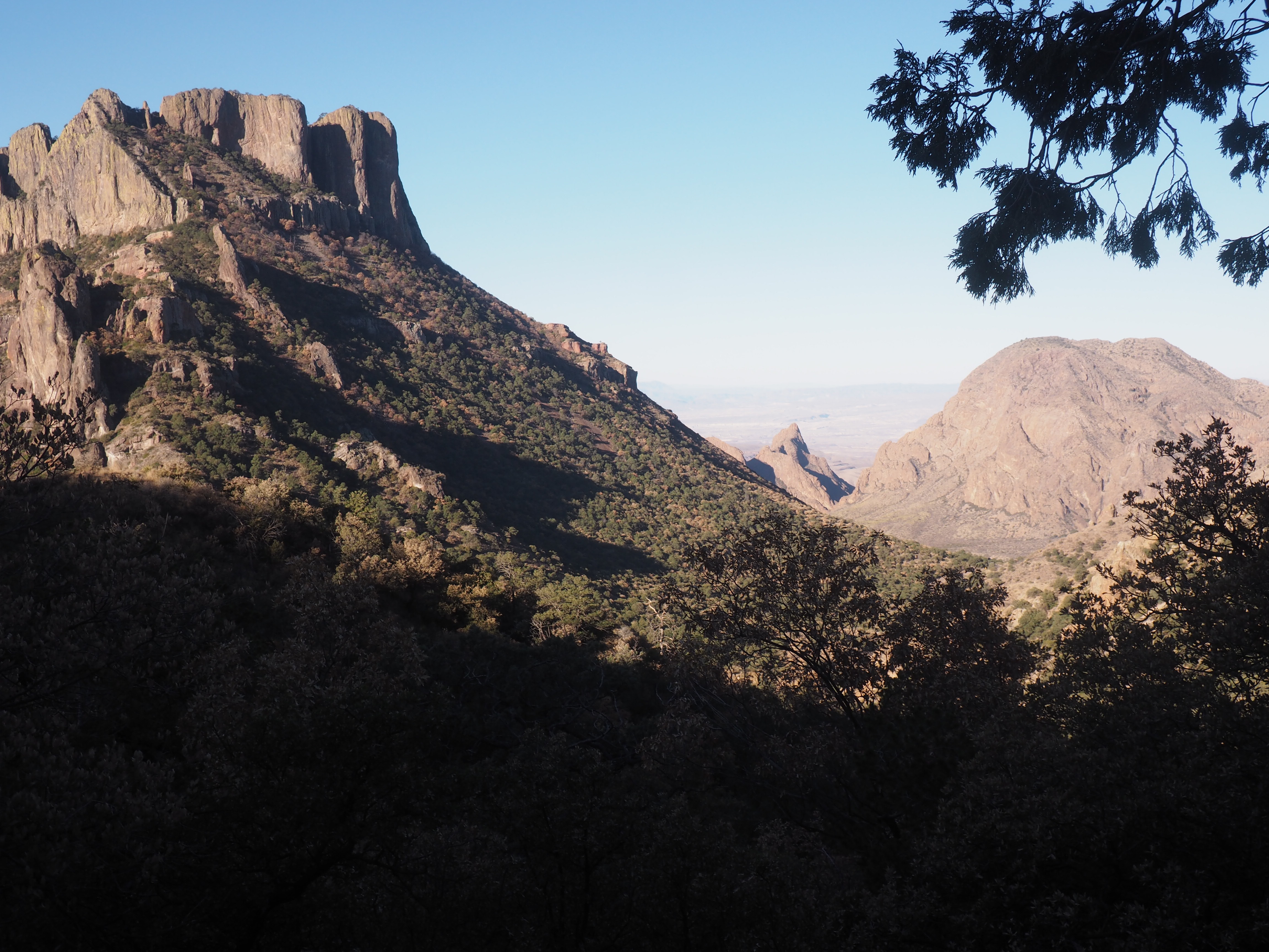
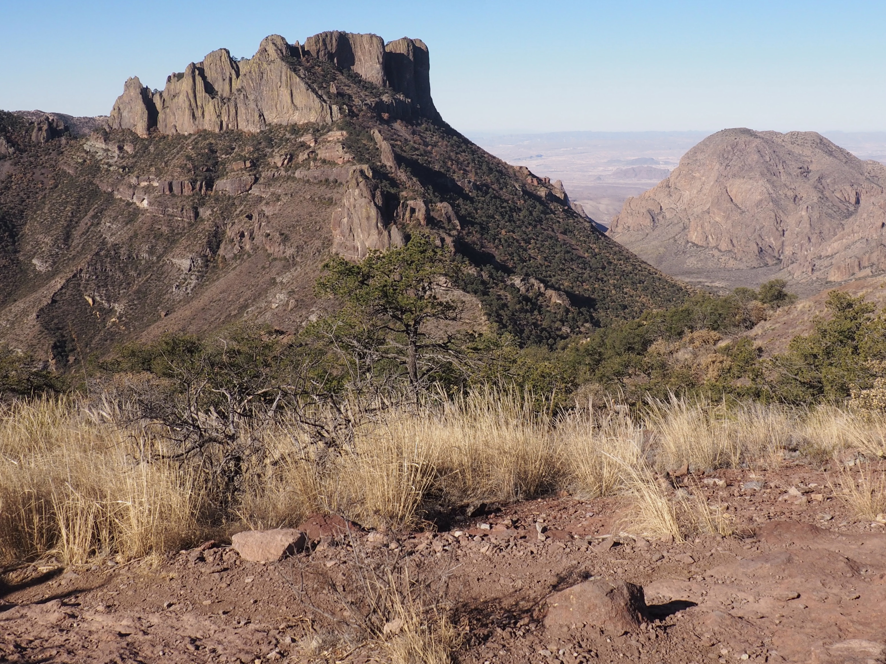
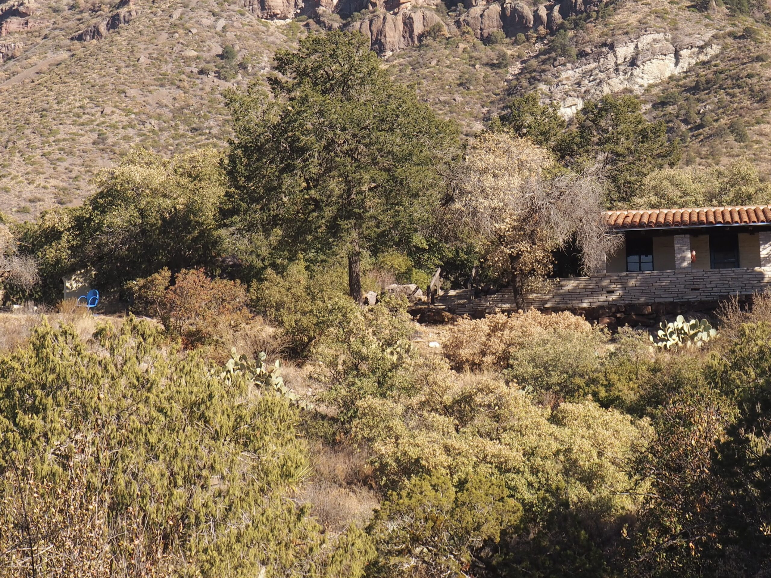
The only mountain range entirely within a National Park, the Chisos Mountains are largely composed of lava domes formed thirty some million years ago now rising nearly a mile above the desert floor. We stayed inside the Chisos Basin, an encirclement of these domes with a “window” to the outside, seen here on the left from the outside and, on the right, from the inside of the basin, the upper right photo being from a hike further up into the mountain on the Basin Loop Trail.

Our favorite hike was up the Lost Mine Trail in the Chisos Basin, a 1275’ climb in a 4.7 mile round trip (as far as we went on the ridge line). The photos don’t really do justice to the magnificence of the scenery.

Inside the basin the climate is much more lush and colorful than the desert surrounding it, even though most of the plants are the same.

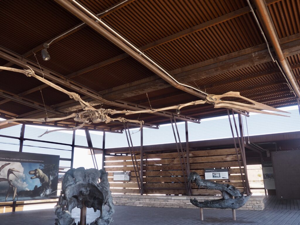
Meanwhile, at the Park Service’s small, but very nicely put together, fossil museum at this treasure trove of a fossil site, we find the largest flying animal that ever lived- the Quetzalcoatlus, boasting a 36’ wing span. Since fossils of this imposing creature have also been found in Romania, the assumption is that it roamed the world, like the albatross.
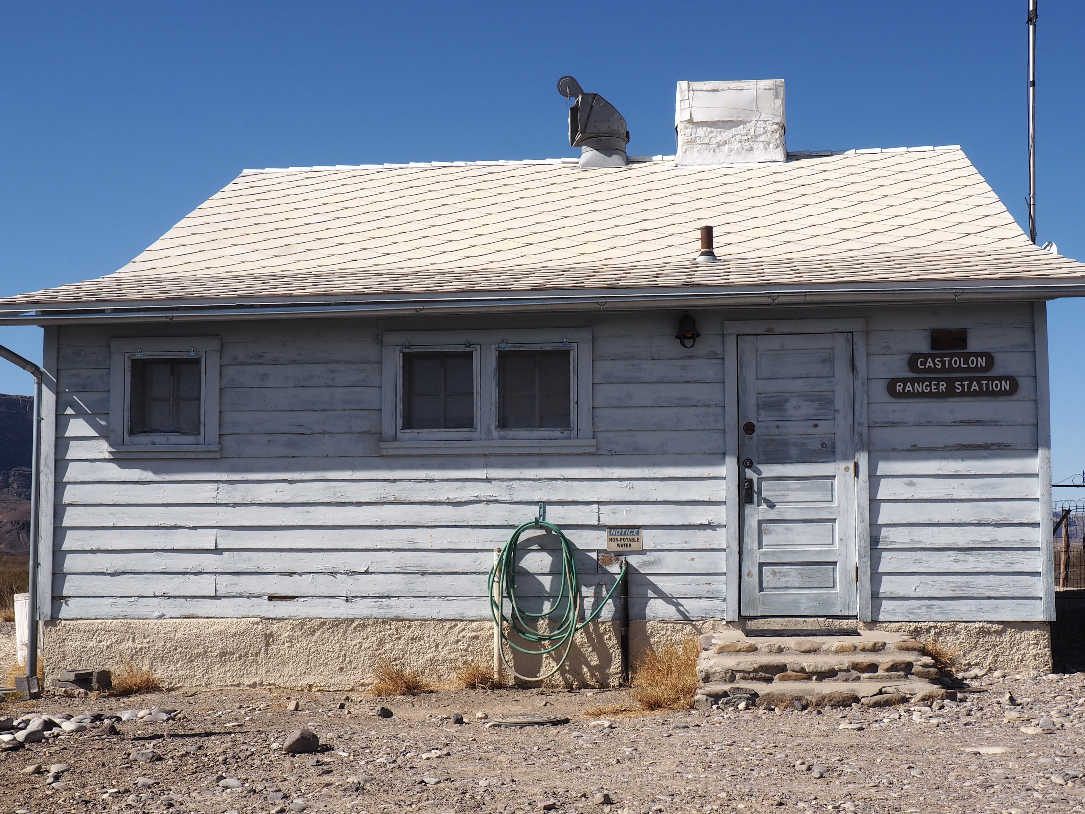
From our Chisos Basin lodgings we headed west and down the Ross Maxwell Scenic Drive to Castolon and, once again, the river.
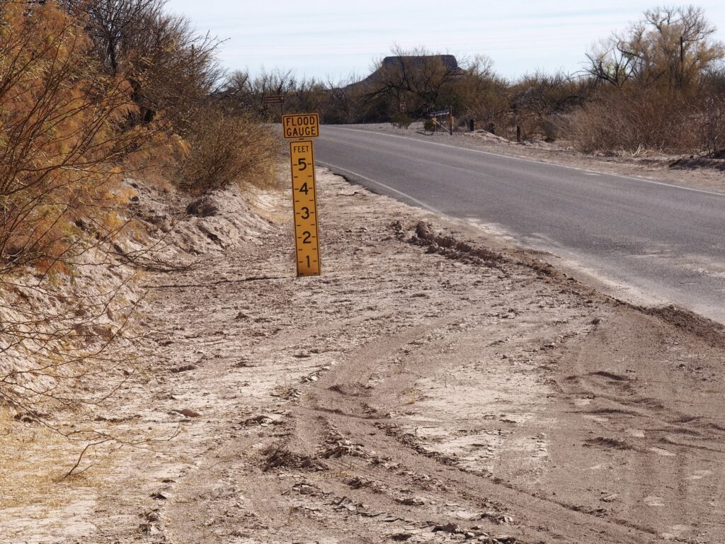
Throughout the region there are flood gauges in the washes, we assume to alert drivers to the depth of water they may be tempted to drive through. When we saw quite a few gauges in a stretch of road we kept thinking it wouldn’t be so good to encounter a too deep depth in the middle of a stretch when it might be unwise to reverse direction.

A modest hike at the end of a little road off the Scenic Drive (created by the first Park director through the west side) is the Lower Burro Mesa Pour-off. Quite literally, the top left photo shows a water gouged and smoothed spout that conducts huge torrents of water from the Mesa above to a small canyon that opens to the desert floor. Up in that little canyon is clearly not the place to be when the rain comes on heavy. In the center of the montage is a formation known as Mule Ears. Ruins from ranching days, some partially restored, are throughout the Park.

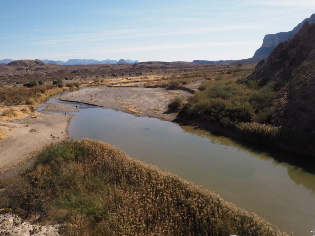
Crossing Terlingua Creek, we made our way towards Saint Elena Canyon through which the Rio Grande flows beneath 1500’ walls before exiting the Park.

On arriving at the trailhead, it’s easy to be momentarily mistaken and believe the Rio Grande is the creek you are supposed to cross to reach the trail into the canyon.

. . . and, there it goes. A fitting adios to Big Bend.

Santiago de Chile

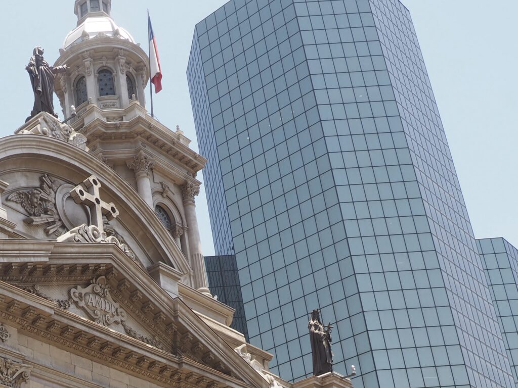
The Metropolitan Cathedral of Santiago on the Plaza de Armas, the 5th Edifice on this Site.

Chile is a country of major earthquakes and great changes, many in recent years, making us question the wisdom of the old saying “the more things change, the more they stay the same.” We experienced a minor quake during our stay with just a bit of swaying on the 13th floor, although enough to send others in our group rushing down the stairwells. We were surprised that this was a first for our Argentine guide, although it’s in Chile that the toughest standards for construction prevail, for good reason.

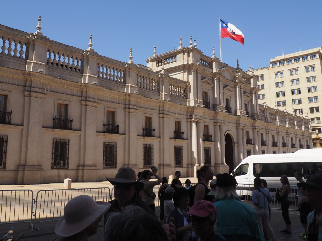
The Presidential Palace (Palacio de La Moneda) on Constitution Square was extensively damaged when the Chilean Air Force attacked it with rockets and automatic cannon fire in a 1973 coup d’état. It had been restored by 1981.
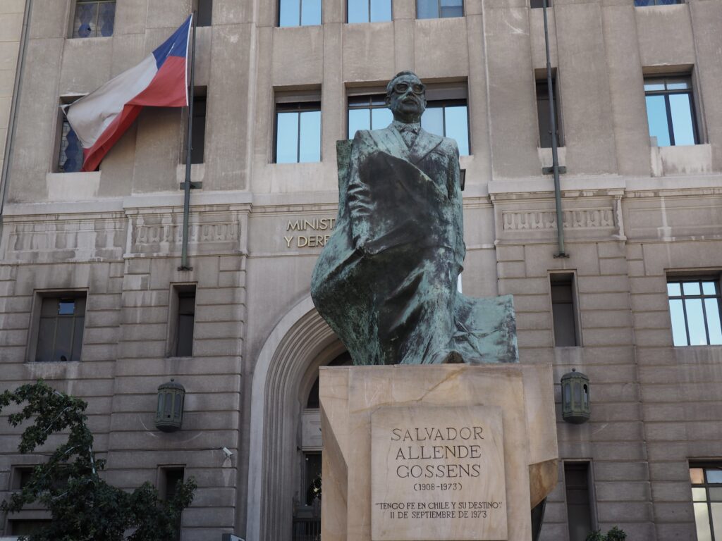
Salvador Allende, head of the Socialist Party and of a coalition of leftist parties, had been elected President in 1970, alarming many by expropriating US-owned copper companies, purchasing many large companies for the state, beginning to redistribute agricultural land, raising wages and freezing prices, leading to the coup d’état led by General Augusto Pinochet.

The US supported coup led to a very harsh 17 year military dictatorship (with plenty of “disappeared” people) which ended when General Pinochet consented to a plebiscite, and lost. What has followed has been a stable democracy with a vigorous, inflation free economy, the electorate evenly split between those who would be more rightist and those who would be more leftist, none apparently having an appetite for pushing further in either direction. Chile is a more or less pure capitalist country, with no social safety net, currently provoking resentment that the government is providing social support to a very large wave of immigration from the more troubled countries in our hemisphere, primarily Venezuela. Very serious riots and mass demonstrations in 2019 and 2020 were the consequence of the extreme disparities in living conditions generated by such an unforgiving capitalist system, dampened by the pandemic and currently in a state of calm. Indeed, our local guide Ivan, whose family went into exile after the coup when his Air Force officer father resigned his commission in protest, believes the pandemic saved his country from civil war.

Having spent a week here around 1980, Jim recognized nothing except the mountains, as the city has doubled in population in that time (to roughly 7-8 million or 40% of the country’s population) and spread out to those mountains. Gone were the lovely 19th century shopping arcades, everyone out walking with an ice cream cone in the late afternoon, looking forward to dinner at 11, and uzi toting men most everywhere. It’s now a bustling modern city with South America’s tallest skyscraper (in a country where doctors don’t need malpractice insurance, but architects do).

Having barely 48 hours in Santiago and its environs, we were fortunate to be able to visit two exceptional small museums of Latin American antiquities, which had been private collections. We were especially grateful for the chance to see the extraordinary pre-Colombian textiles and feather work, as the Andean region has produced some very unusual and wonderful work. Knotted strings, of course, comprised the written language of the Inca.

Although collected from across America, much was local, such as these Mapuche statues. Per the helpful English language signage: “These remarkable wooden statues were placed on top of tombs in ancient Mapuche cemeteries. They reflect the spirit (am) of those buried there and are intended to assist them in their journey to the afterlife. Chiefs and great warriors were sent to the East after death, to roam among the volcanoes of Kalfumapu, the ‘blue land.’ All others went to the West, to eat bitter potatoes beyond the sea.”

Our last stop in Chile and our adventure into Patagonia was an old winery where roses are planted at the ends of the rows as wary sentinels, like sacrificial canaries watching over the vines.

Then, renewed with a sense of wonder, it was off to the airport for an overnight flight to the other ends of the earth where Christmas in the chill north awaited us.

Hiking Torres del Paine

Before hiking, is simply arriving; and, Torres del Paine National Park is remote by any definition. We were grateful for a steady hand at the wheel for exceptionally long twisting turning journeys on minimally maintained gravel roads pocked with quite impressive potholes. Here, Jorge (also very adept at spotting animals) is enjoying maté, a social habit, typically shared by passing it among friends, each successively draining the cup freshly filled with almost boiling water over a caffeine rich herbal mix. Not getting any takers among the clients, Jorge would share with our Argentine principal guide Georgina and our local guide Nicholas.

Yes, another glacier, into another fjord, yet far from the open sea.
Thank you, Google Maps! As you can see, Torres del Paine is well inland (for this remarkably long and narrow country) and close to the Argentine border. We had come by bus from Punta Arenas, passing by Puerto Natales, the small city where we would then catch our flight up to Santiago de Chile.

Believe it or not, the wonderful blues you’re seeing in the lakes are pretty true, except for in the photo, below, of Nicholas.

Nicholas explaining the fate of a lake with no outlet. Just like the Great Salt Lake or the Dead Sea, the water has become very saline with a high mineral content, leaving crystalline deposits around its shore.

The three namesake Torres del Paine (Towers of the Paine {an indigenous term for the area, “blue”}), known simply as the North, South, and Central towers, and impressive challenges for climbers.
. . . meanwhile, back at our hotel, just outside the park . . .
On our way to the airport, we stopped by the famous cave where milodon (an extinct giant sloth) remains, initially just hunks of hairy skin, were found in 1895. For those of us who had read about the cave in Bruce Chatwin’s In Patagonia, the scale and grandeur of the place were quite a surprise.

Mummified milodon skin in Museum für Naturkunde in Berlin. When first discovered, people assumed it was from a still living animal, rather than one that had been extinct for 10,000 years.

The presence of humans here in southern South America has been documented to about 12,000 years ago. The animals in gray, above, are still around. The largest extinct one is the milodon. The model looming over Amanda is somewhat exaggerated in size and apparently wouldn’t have been able to rear up like that to intimidate us puny hominids.

How Things Work

It’s a four hour shift to man the wheel on the bridge. Keeping the vessel on the plotted course requires continuous adjustment to compensate for shifts in wind and wave action.

We’re admittedly suckers for this sort of thing. Both of us in our work lives wouldn’t hesitate to take up the offer of a plant tour, being fascinated with how things work. In the past, we’ve taken advantage of visits to the bridge that turned out to be perfunctory walk throughs, but this was an engaging and informative discussion with the crew (exceeding expectations, as they say).

Being part of a guided tour, we had a guide who was always with us and then local guides. Here our consistently amazing local guides, like Mauricio, were attached to the ship. Everyone seemed to enjoy calling him Johnny Depp (which he didn’t seem to mind at all).
During the farewell festivities, the chart used to navigate Cape Horn was auctioned off to benefit a tip fund shared equally among all crew at the end of the season. We all gasped at the final hammer price of US$ 1,500 paid by a fellow passenger who had recently earned his Masters in Navigation (his wife was also surprised).
Signal flags at the ready!

We did appreciate the news about all the watertight doors to maintain buoyancy during any incident on this Chilean built vessel and understood from experience why we were issued hardhats on entry into the engine room down below.

Hiking the Tiera del Fuego

A Zodiac Landing, Somewhere in the Tiera del Fuego

Without land based accommodations, except when nearby Ushuaia, starting any hike meant first boarding a Zodiac.

It is an impressive operation, without which we’d have been restricted to simply looking at amazing scenery from aboard the ship. The Zodiacs transformed the entire experience.

The full range of gear with options for lots of layers in such an unpredictable environment was also key.
Finally, having great guides made it a perfect experience.
Proudly displaying our frugality. When trying to decide on the best combination of gear to bring to Patagonia, we remembered that we still had skiing jackets with detachable shells that we’d been given for a trip to the Olympics over 20 years ago and had saved in case we had ill-equipped wintertime visitors. Alas, they’re still in perfect condition and were a superb choice!

Springtime in Patagonia (Welcome to December)

Nothing beats happening upon wildness in the form of a less familiar plant or animal and Patagonia offers plenty of opportunities, whether in the Tiera del Fuego or further north, especially into the mountains where we spent time in the Torres del Paine National Park. These are upland geese, female on the left, which we encountered often across the region.
The glacial geology, especially in the Tiera del Fuego, means the soil build-up is quite thin, illustrated here by a shallow island of vegetation that is very much like a bonsai planting, laying there like a pancake on top of solid rock.
These flightless birds that look like scaled down ostriches are Lesser Rhea or Darwin’s Rhea, endemic only to the arid steppes and grasslands of South America. They evade predators with sheer speed, clocked at 37 mph, sharp maneuvering, nasty talons, an ability to flatten themselves into the landscape to avoid detection and their habit of grazing with other animals like the guanaco to take advantage of the spidey sense that herds achieve.
The guanaco is one of the signature animals of Patagonia, seen here against the background of the three “torres” or “towers” from which Torres del Paine National Park takes its name. It is a type of llama which could be seen in the eastern part of the park, but not in the western part because cattle grazing persists there, depriving wildlife of the extent of grasses needed to survive in that environment.
It’s the puma that keeps the guanaco from becoming too plentiful, now that there are no longer natives successfully relying on them for their primary food source. The caracara and the buzzard eagle are the main scavengers.

Meanwhile, back in Tiera del Fuego, there was an abundance of this fungus known by the European settlers as Indian Bread because the groups of native peoples who spent their lives in canoes kept masses of the fungus with them not only as food, but because it is a great source of water. We popped some and found they’re not bad. The canoe dwellers also kept a fire going in their canoes and, like their forest dwelling neighbors, almost always went naked, smearing themselves with fat for some bit of protection from the elements (the climate being more temperate than we supposed). As with the experience of native people almost everywhere, efforts to exterminate them were largely successful.

The vegetation was lush even in what seemed like the most inhospitable locations, what with the thin soil and ferocious winds, even on a gravel plain aside a glacial stream. Venturing into the forest was to be struck by the overwhelming richness of it all. There were numerous species of orchid and, most familiar to us, plentiful lichen thriving only in this abundance of clean fresh air. The one non-native plant shown here is the red sorrel, introduced for who knows what reason, as there’s nothing chooses to eat it, so if it must have a purpose, it’s to add its own touch of beauty.

Yes, Penguins!

The colony of Magellanic penguins on Magdalena Island
Our other life-vests-on excursion was to the penguin colony on Magdalena Island, near Punta Arenas. For once, we remembered our binoculars, although the penguins and other birds paid little mind to the stream of curious visitors as they occupied themselves with the rituals of nesting. We were extremely fortunate to have made all of our landings and Zodiac excursions, as only half of all sailings manage to achieve that due to the vagaries of Patagonian weather.
The island was almost entirely blanketed with nesting birds, primarily penguins and gulls, but also a smattering of other birds such as the upland goose, mostly in single species swathes, but invariably with the occasional other species intermixed. Many of the penguins were quite far from the water, making us wonder if there might be some sort of social hierarchy or pecking order involved within the colony.

26,000 Glaciers

The water is filled with ice calved from a glacier. And, yes, the answer to the question, how many glaciers are there in Chile: 26,000.
In the fjords headed by those glaciers, lots of ice for the Zodiacs to avoid.
Often it felt like we were in that scene from Star Wars, the high speed chase swerving through the trees.
Although we did visit one glacier that has been, for some unknown reason, stable, practically all of them have been very noticeably receding due to a combination of warming temperatures and less snow to feed the snow accumulation fields that feed the glaciers.
The vertical black streaks in the glaciers are the result of the accumulated scrapings and scrubbings of rock from two glacial streams joining into a single glacier gouging out its path. The waterfall is, of course, the outlet for the substantial internal melting within the glacier.
The finger or tooth-like appearance on the top of the glacier is due to its expansion when released from the compression of the surrounding rock.
From our Zodiacs or after clambering on shore, we saw quite a few endlessly fascinating glaciers and very up-close, all named for human beings just passing through.
They really are: magnificent.

Cape Horn

The continent and its islands end here, marked by a lighthouse.
Normally leaving our life vests in a pile on the shore, on our visit by Zodiac boats to Cape Horn we must wear them in case a quick retreat is forced by a change in the weather.
And there it is, the Drake Passage. Atlantic to the left, Pacific to the right. Rain dead ahead.

The wallowing trudge up the 200 steps from the Zodiac landing and back down again had been well worth it as we looked forward to many more Zodiac excursions.