

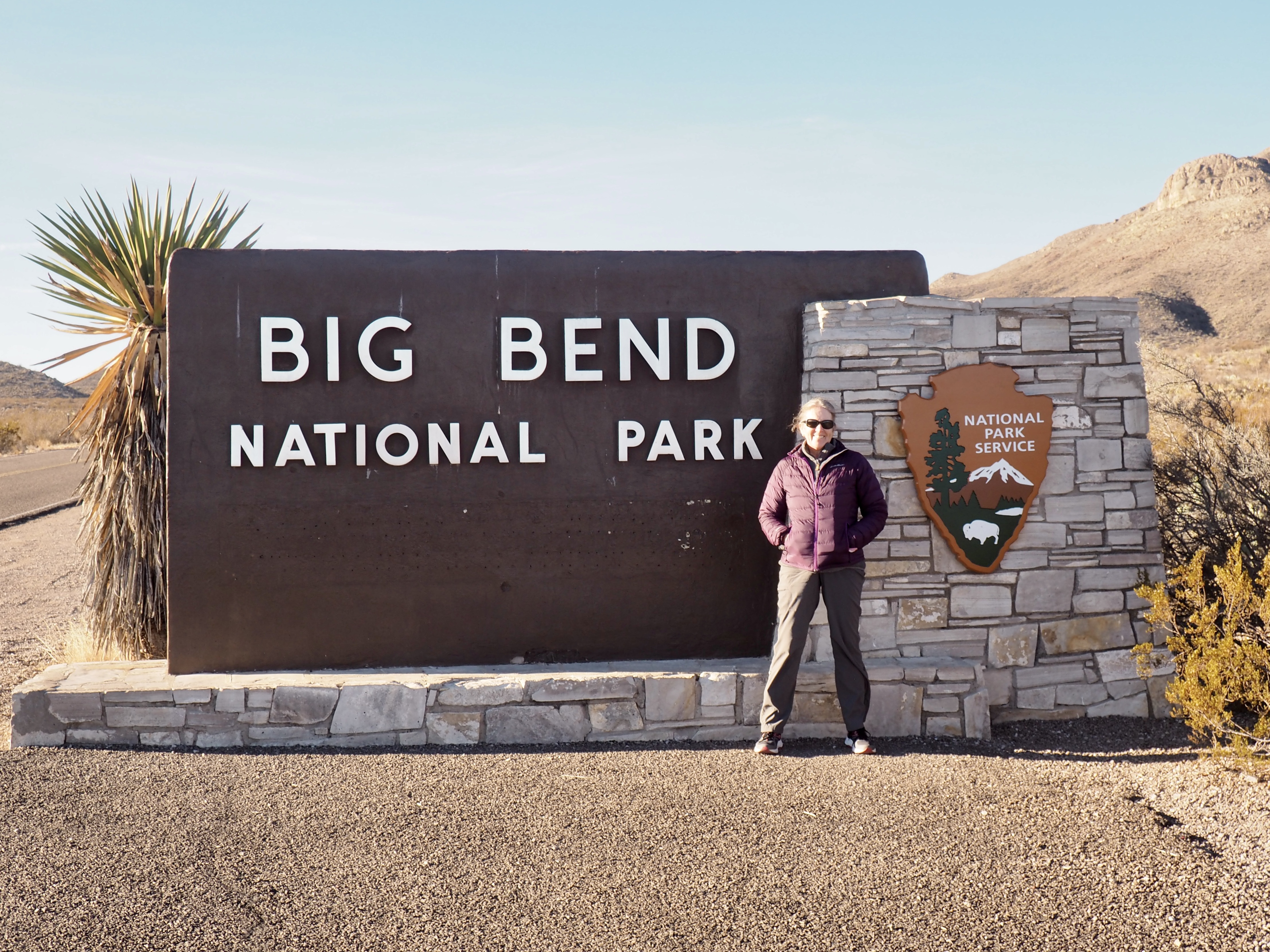
For our January visit to Big Bend National Park we flew into El Paso where we managed a snowy hike in the Franklin Mountains and dropped in on family. The bottom portion of the trail was rough going over a long stretch of scree. Returning at the very end of our journey we found ourselves in the middle of a mountain biking race and abandoned the mountain, greatly impressed that most of the riders managed to give us a friendly greeting.


On the way to Big Bend, we confirmed our American citizenship for the well-armed but (also) friendly Border Control people along the highway, noticed that impressive surveillance dirigible tethered due to the weather, and on the way to spending the night in the very un-Alp-like (but boasting a functioning restaurant, albeit in the bar, and wonderful murals throughout town) Alpine, we stopped by Marfa with its movie set vibe, best known for the Hotel Paisano where the 300 cast and crew for Giant all stayed in 1955, including James Dean, Elizabeth Taylor and Rock Hudson (how many to a room we didn’t ask). With the pedal to the metal numbing distances of Texas highways we were already becoming grateful for the upgrade to our big Volvo SUV when our ordinary rental turned out to have a not so slowly flattening tire while still in El Paso.


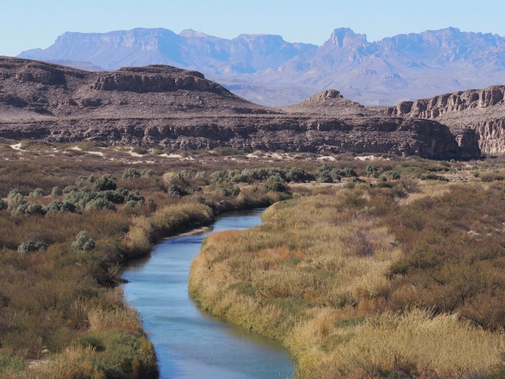
The border is where the center of the deepest channel had been in 1848, although the river has gotten a bit more shallow since then and is certainly not much of an obstacle to regular informal commerce (yes, that’s Mexico). It’s difficult to avoid road apples when following the trails close to the river on the east side of the Park in the area of the Park’s Rio Grande Village. There you’ll also find both the occasional seller of crafts and tamales, as well as many unattended displays of crafts with cash boxes. There is, by the way, a legal Border Patrol crossing where tourists cross to have lunch in a nearby village.
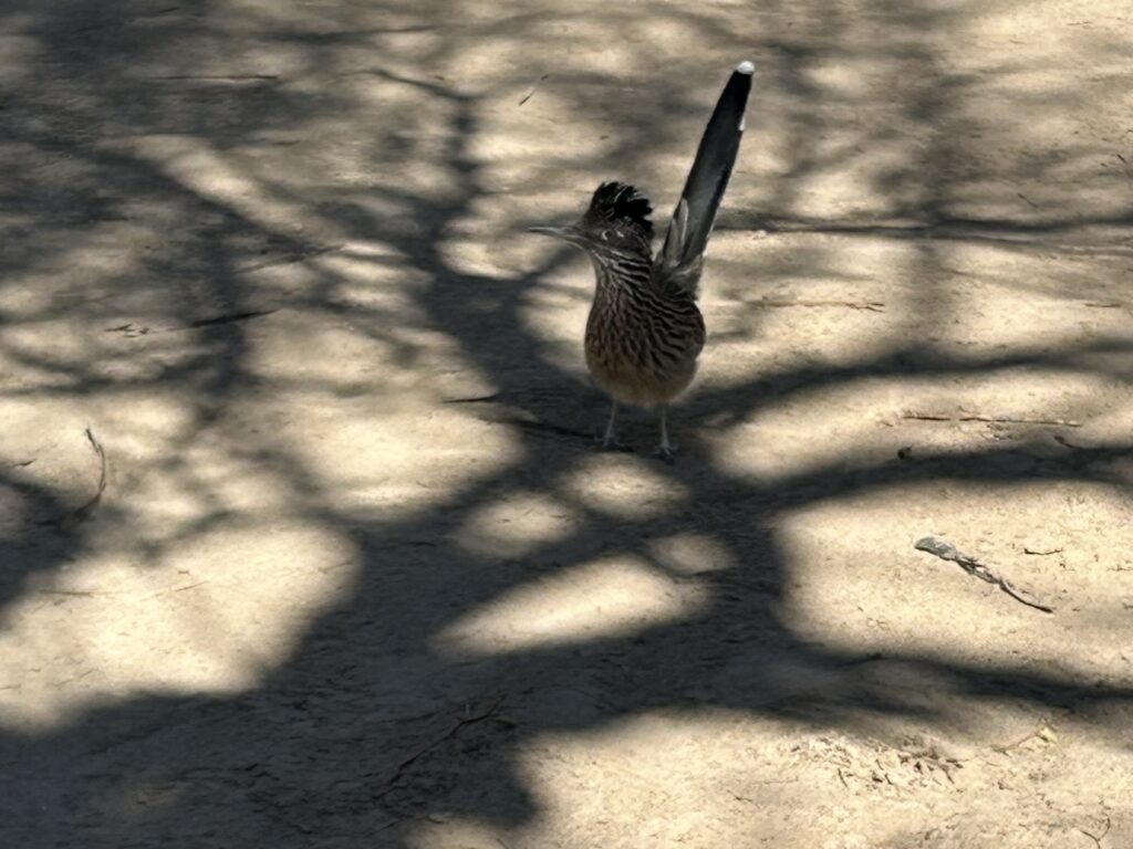
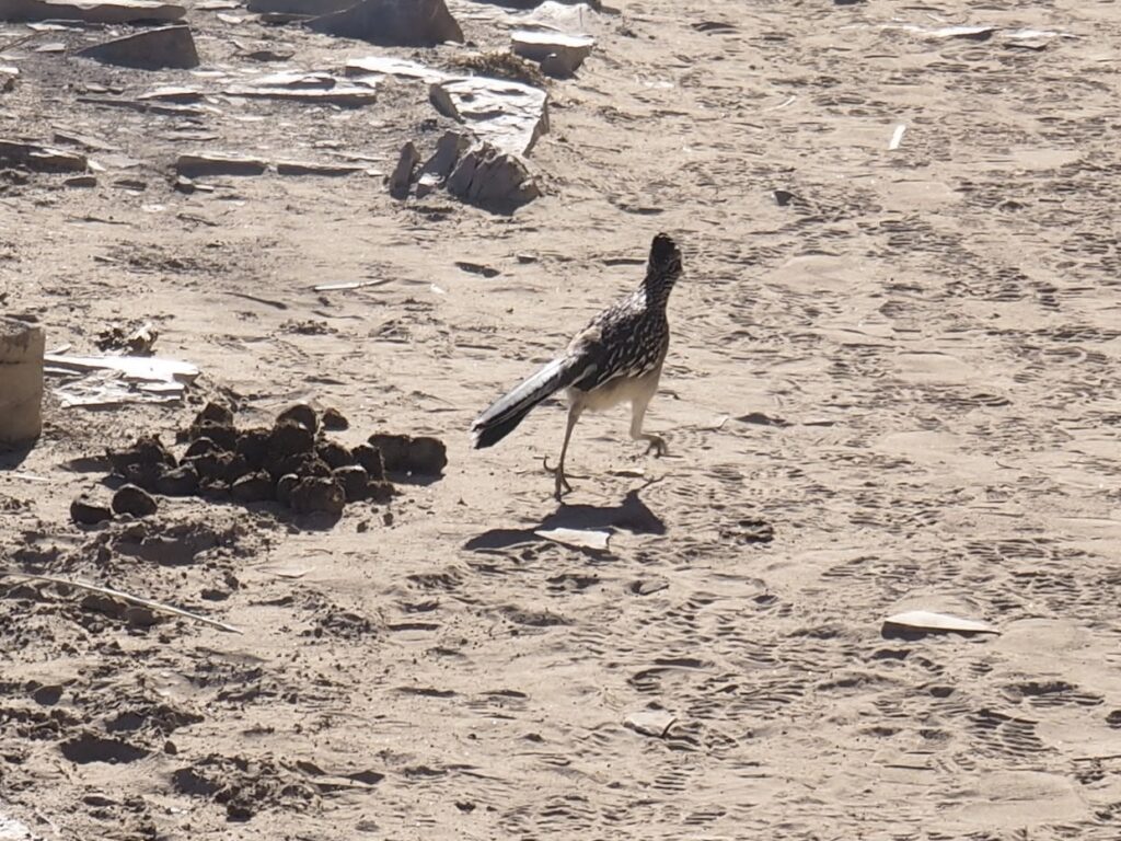
Being fans of those old cartoons, it had been one of our objectives to catch a glimpse of a roadrunner. In this, we overachieved. They were plentiful and not too shy, puffing up a bit if unsure of us fellow wanderers, relying on their amazing speed. And, they can fly, roosting in trees at night.


Although we were most drawn to the mountains and the greener areas along the river, we did keep venturing into the desert, as it was everywhere and, as always, a fascinating place. Here at Dugout Wells, where the windmill was essential for bringing up water, we saw the common prickly pear (the Englemann prickly pear) which is, of course, found all over North America, even on Cape Cod. However, the Blind prickly pear is only found in the Chihuahuan Desert and the Purple prickly pear is found only in the Sonoran and Chihuahuan Deserts (who knew?).
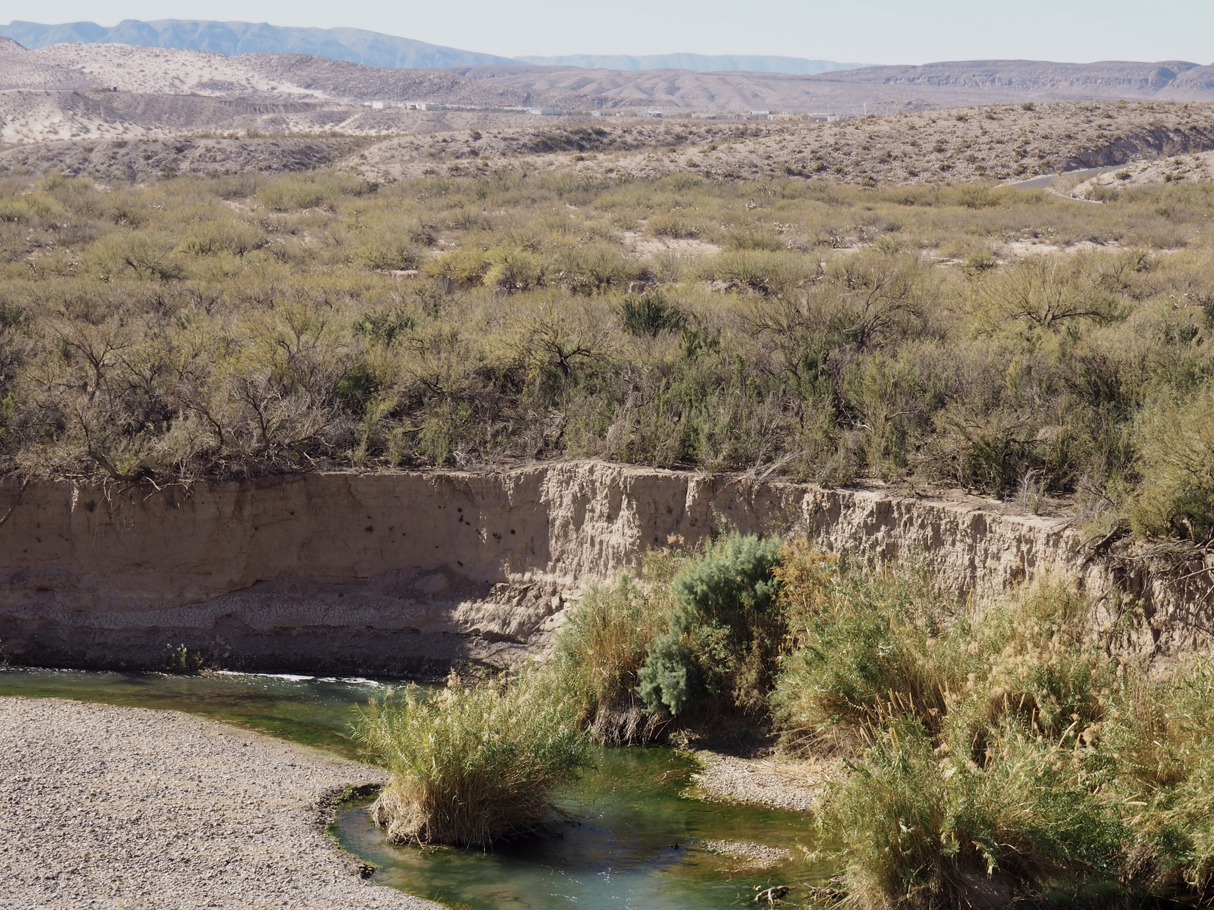
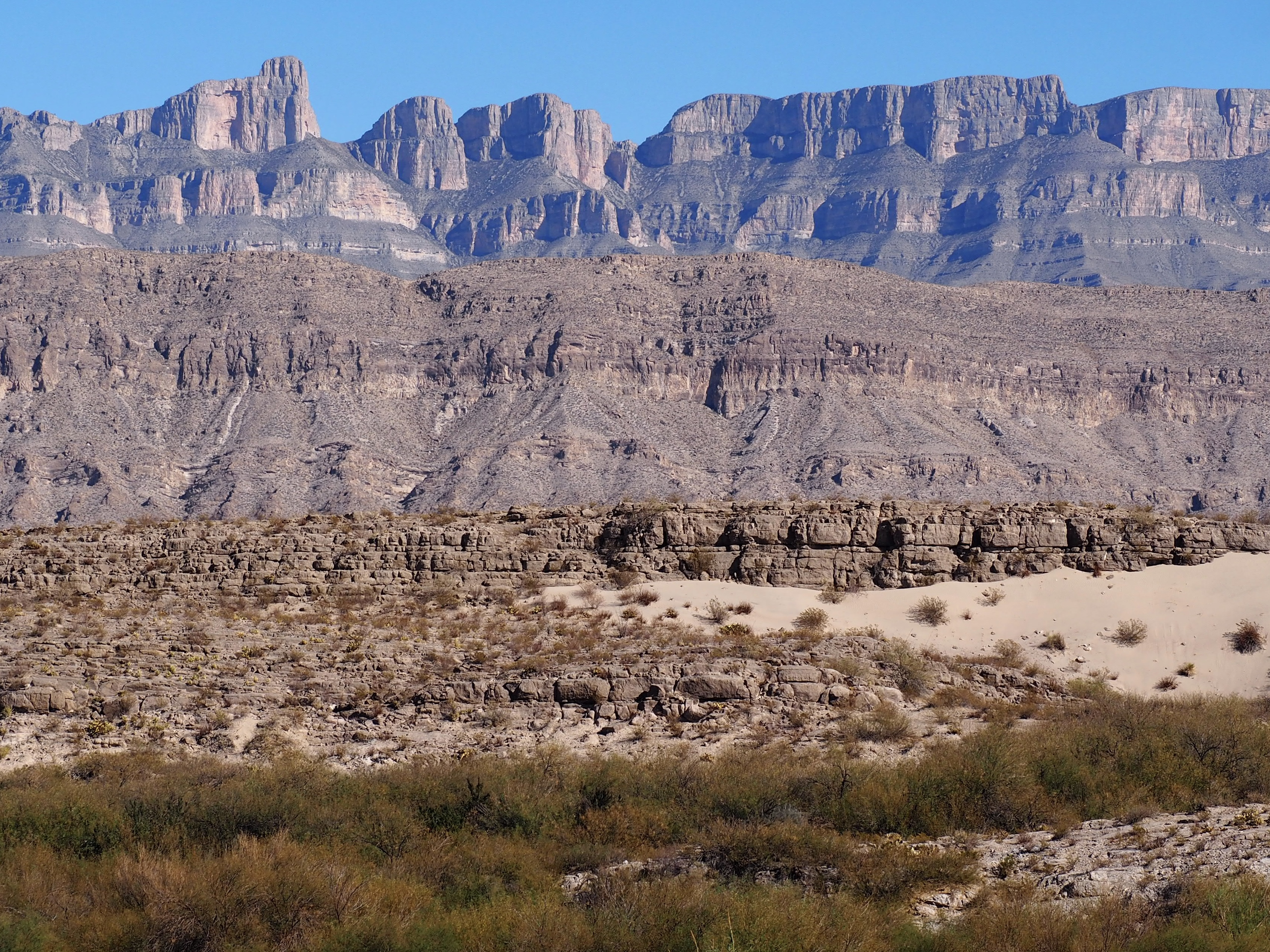


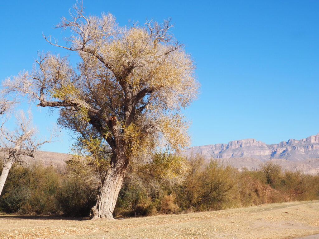
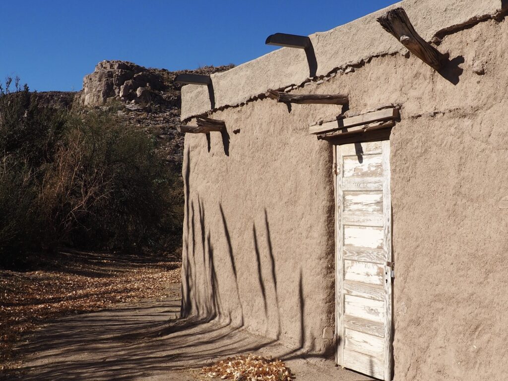
just outside Rio Grande Village


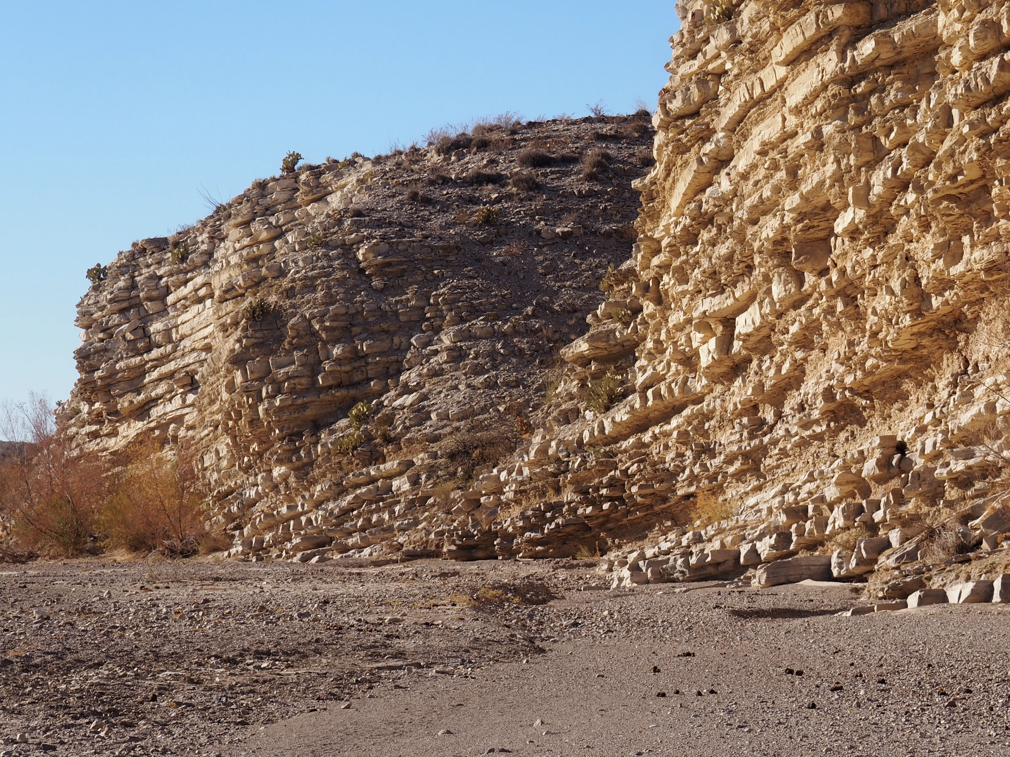
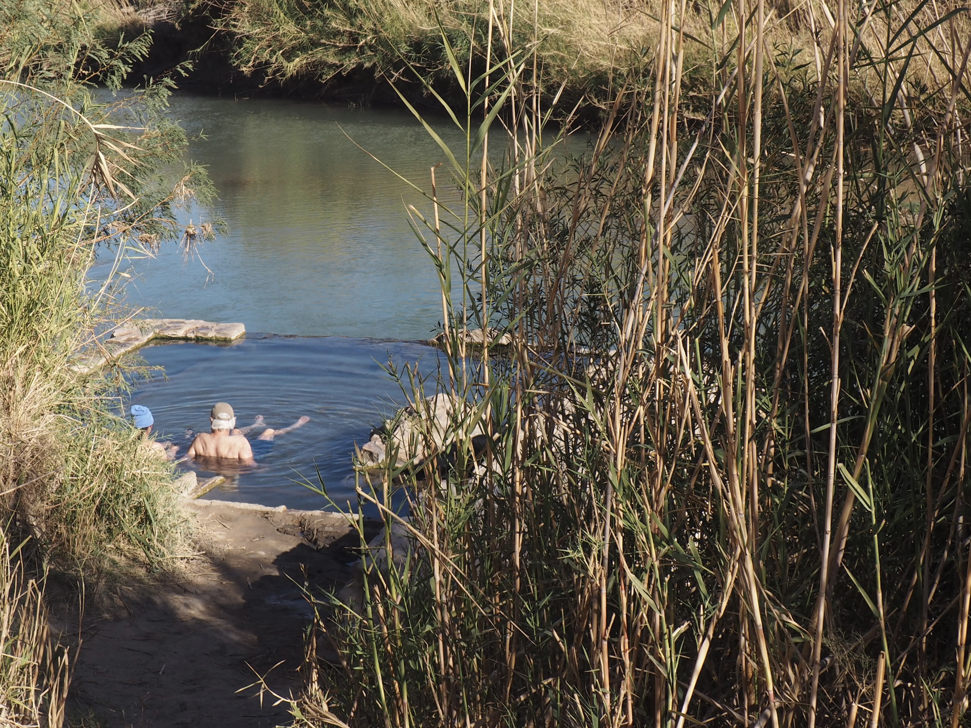

Working our way to Hot Springs, still on the east side of the Park, we decided to park up where the RVs were required to stay put, rather than plunging down the iffy road, per the advice of fellow tourists just returned from the riverside. Not tempted to walk the road, we followed a seldom used narrow trail leading to a scramble down to a flood plain and found our way to an abandoned motel site from J.O. Langford’s early 1900’s homesteaded stake on a 105 degree thermal spring along the river where you can soak in the ruins of a bath house and admire pictographs on the limestone cliffs.


The only mountain range entirely within a National Park, the Chisos Mountains are largely composed of lava domes formed thirty some million years ago now rising nearly a mile above the desert floor. We stayed inside the Chisos Basin, an encirclement of these domes with a “window” to the outside, seen here on the left from the outside and, on the right, from the inside of the basin, the upper right photo being from a hike further up into the mountain on the Basin Loop Trail.


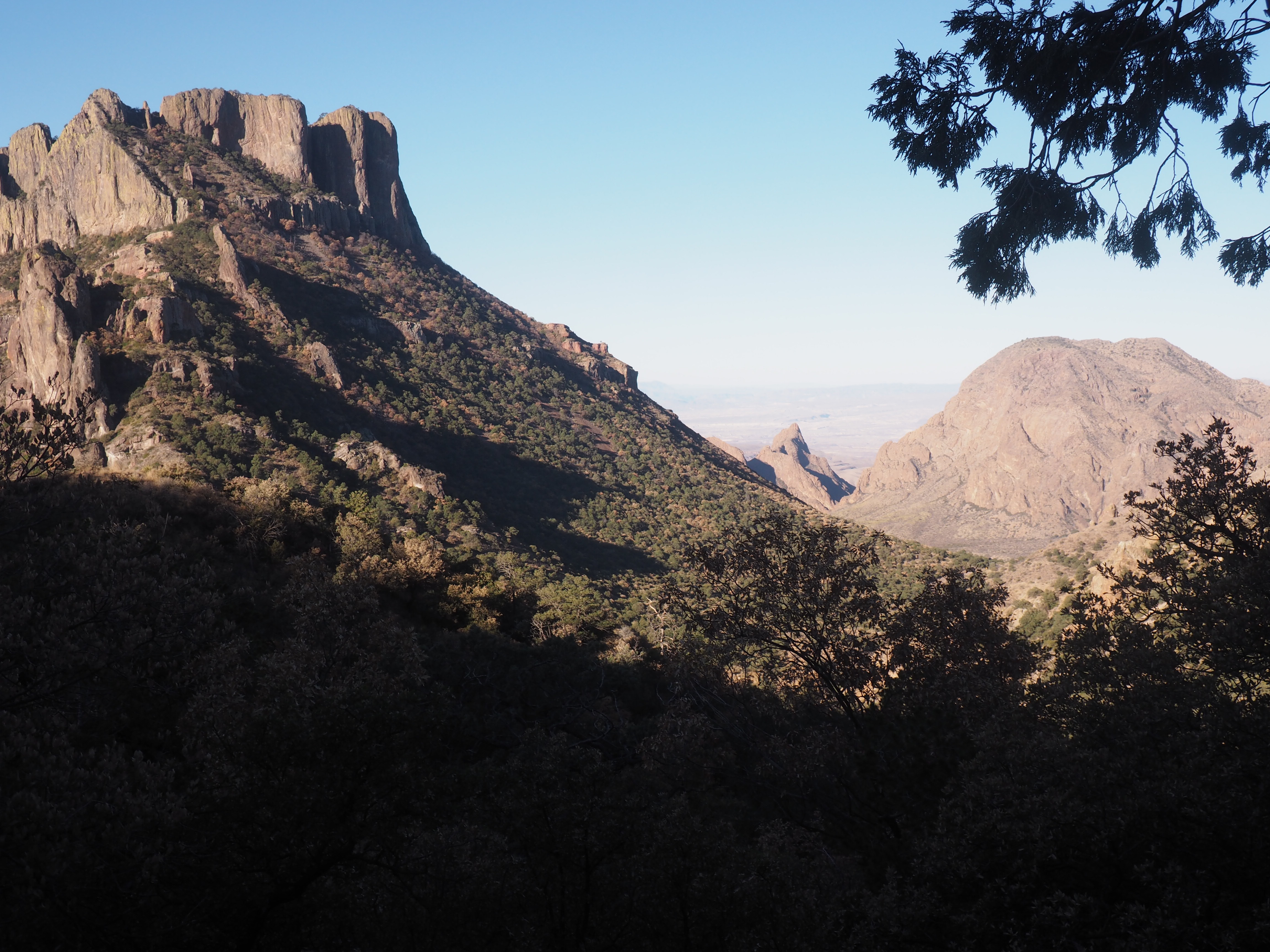


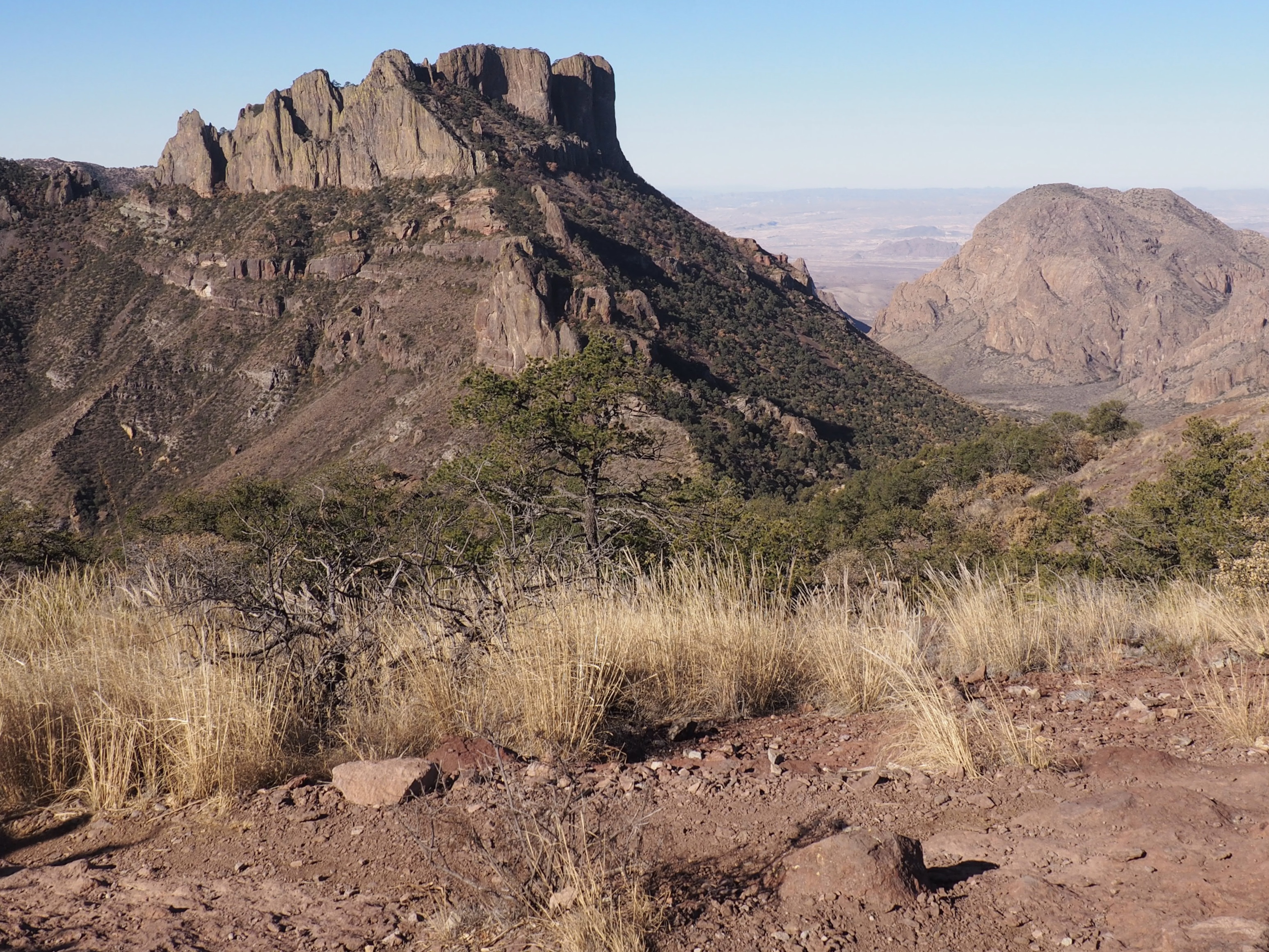


Our favorite hike was up the Lost Mine Trail in the Chisos Basin, a 1275’ climb in a 4.7 mile round trip (as far as we went on the ridge line). The photos don’t really do justice to the magnificence of the scenery.

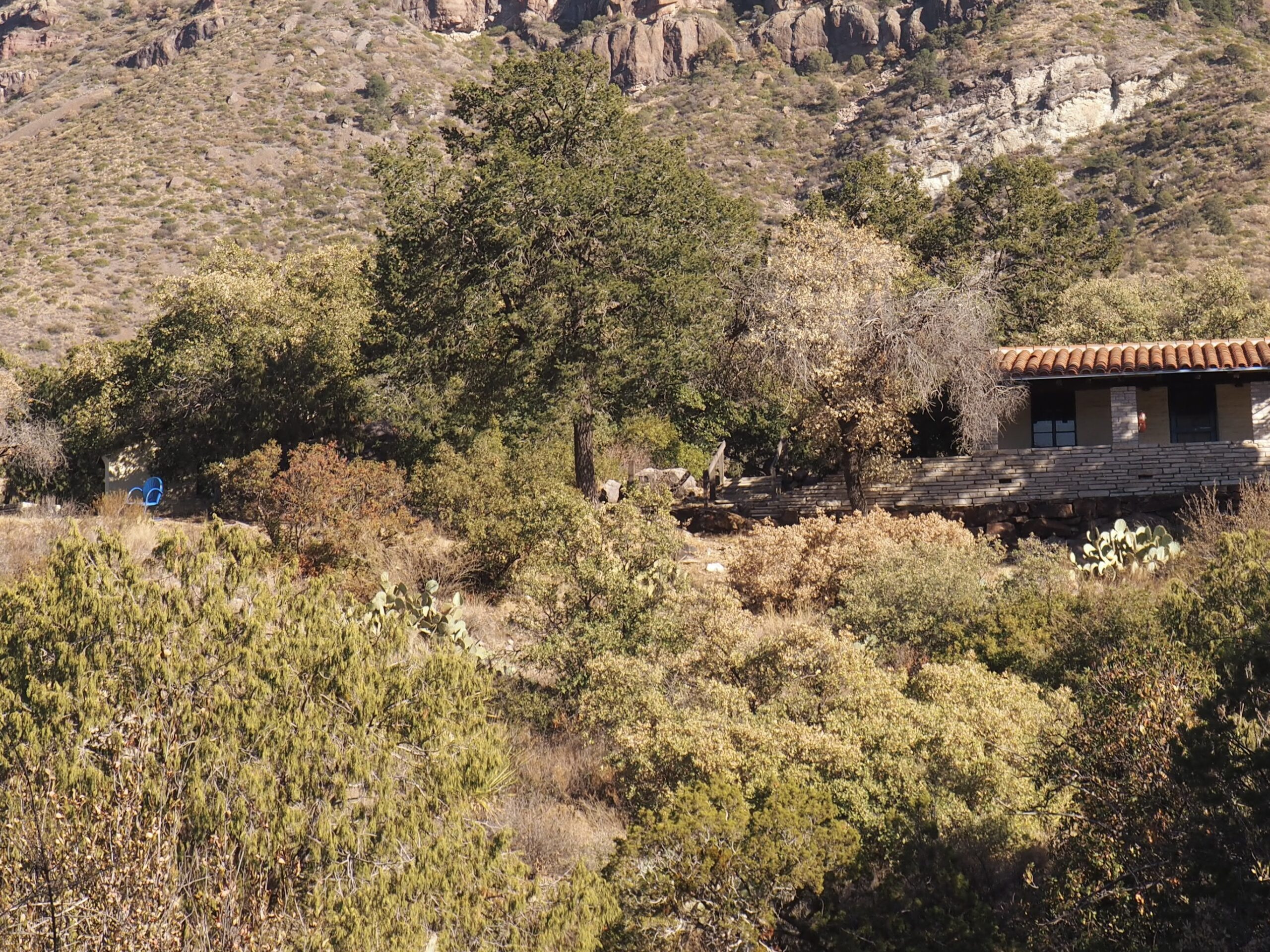


Inside the basin the climate is much more lush and colorful than the desert surrounding it, even though most of the plants are the same.
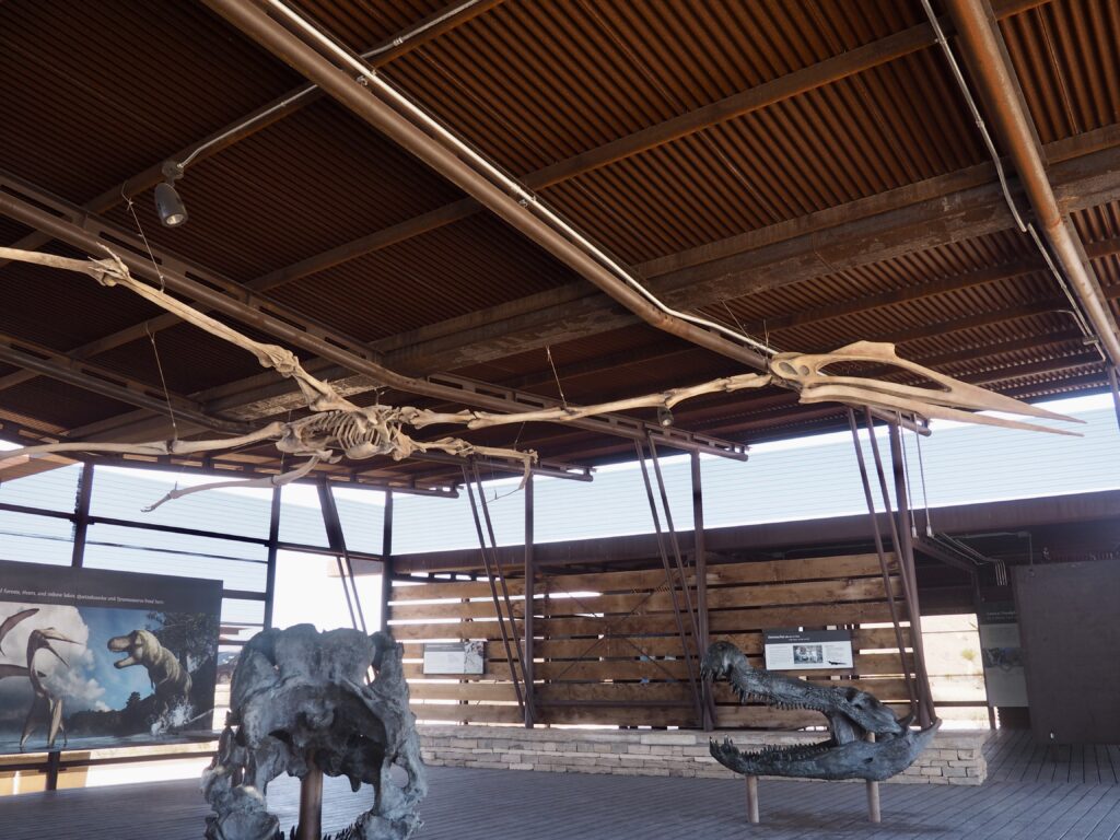
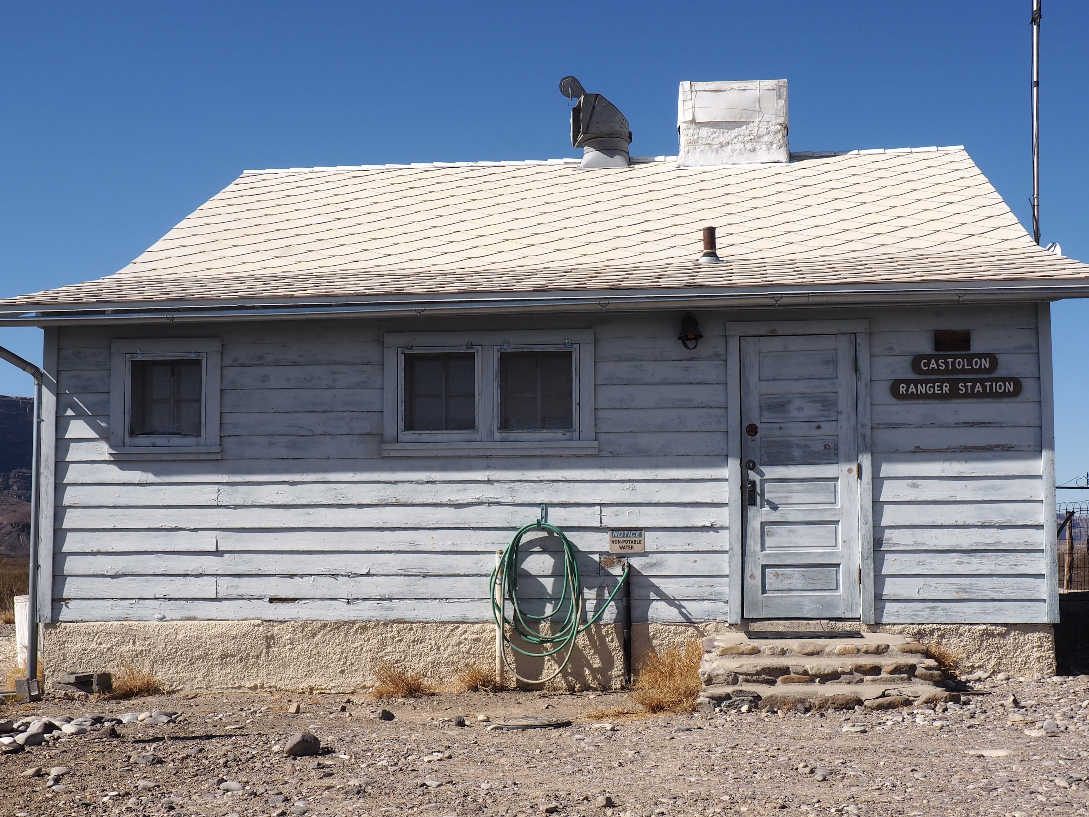
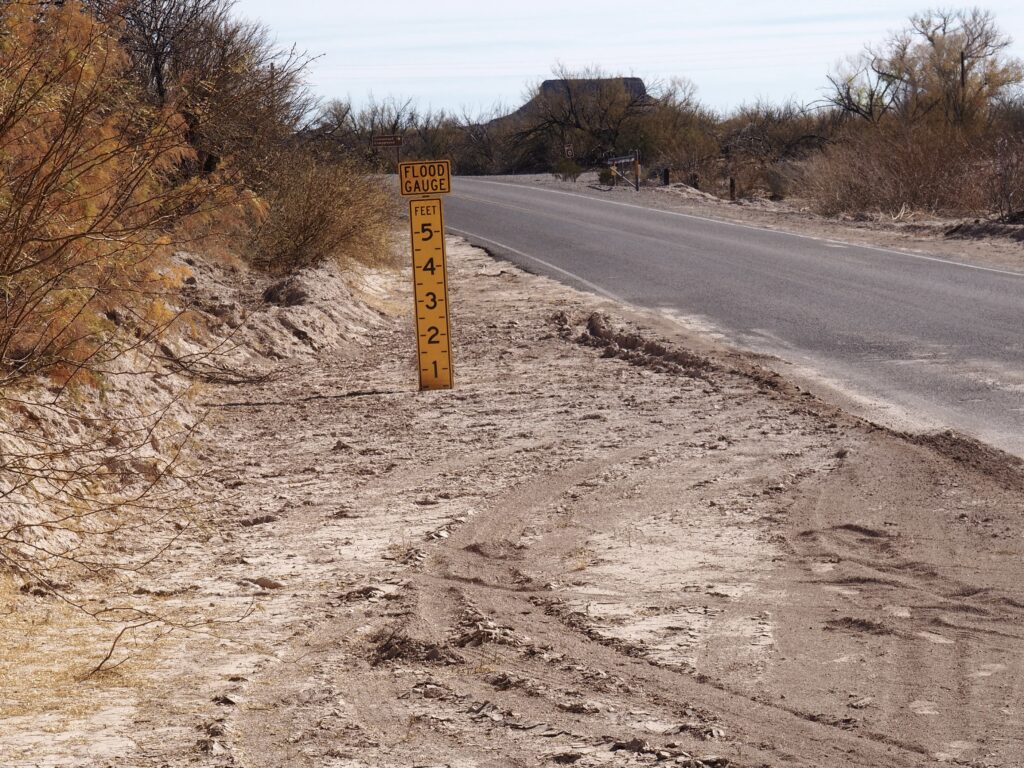


A modest hike at the end of a little road off the Scenic Drive (created by the first Park director through the west side) is the Lower Burro Mesa Pour-off. Quite literally, the top left photo shows a water gouged and smoothed spout that conducts huge torrents of water from the Mesa above to a small canyon that opens to the desert floor. Up in that little canyon is clearly not the place to be when the rain comes on heavy. In the center of the montage is a formation known as Mule Ears. Ruins from ranching days, some partially restored, are throughout the Park.


Crossing Terlingua Creek, we made our way towards Saint Elena Canyon through which the Rio Grande flows beneath 1500’ walls before exiting the Park.
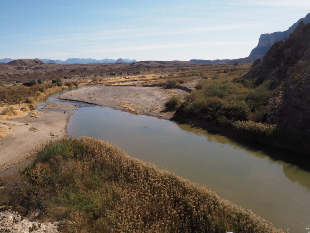


. . . and, there it goes. A fitting adios to Big Bend.

Big Bend is definitely on our list!