


Having made port in My Tho, rather than heading straight into the heart of Ho Chi Minh City (we’re told it’s still “Saigon” to many of the local residents), we went through the western edge of the city and about two hours north . . .


. . . through a prosperous rural area where people seem to be fond of ceramic dogs in front of their homes . . .
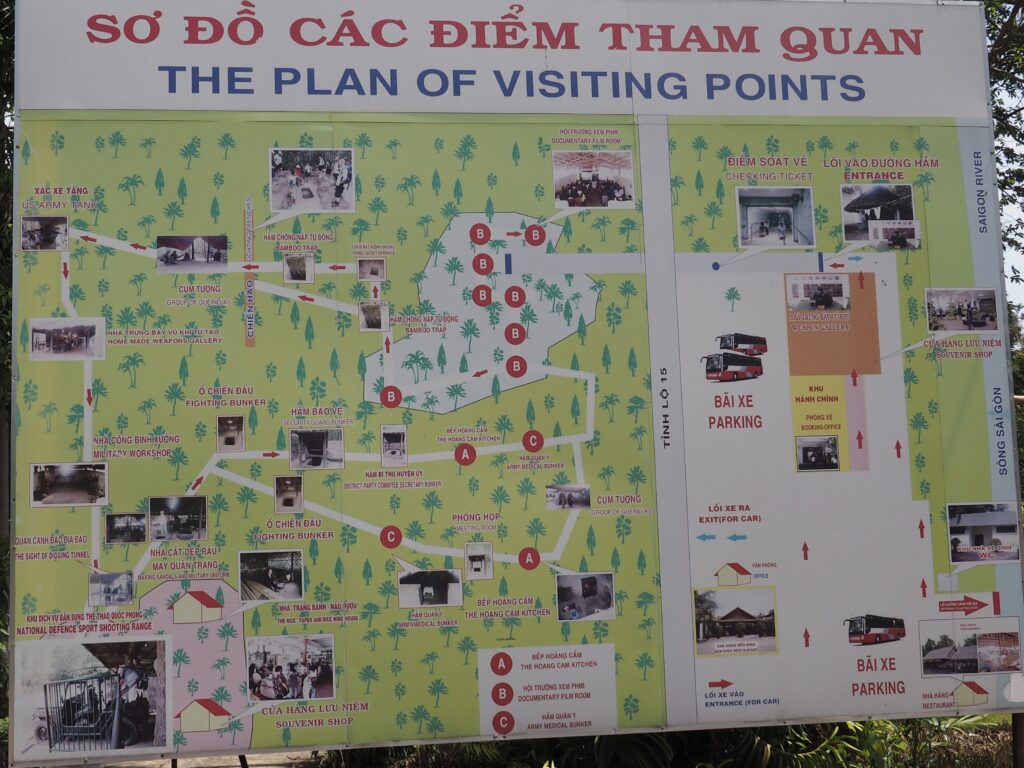
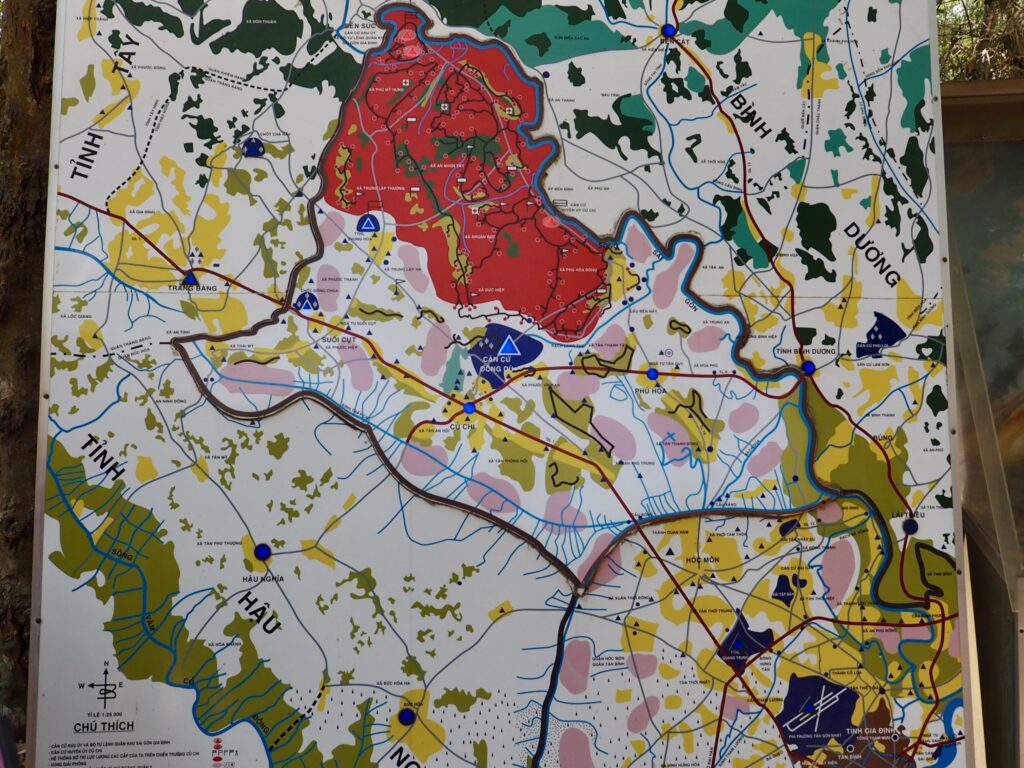
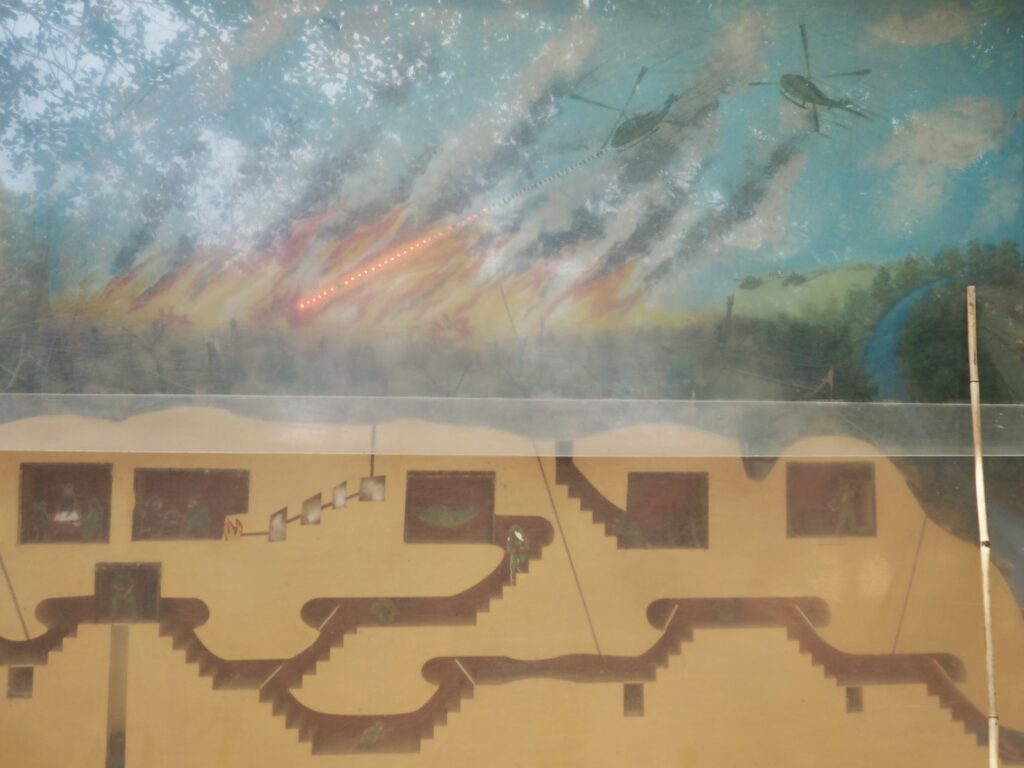
. . . to an area (in red on the map) filled with deep tunnels that was the southern terminus of the Ho Chi Minh Trail along which the Viet Cong, primarily, and North Vietnamese Army brought fighters and supplies into the heart of the South, not far from the Saigon airport and the deployments of US and South Vietnamese forces in between.
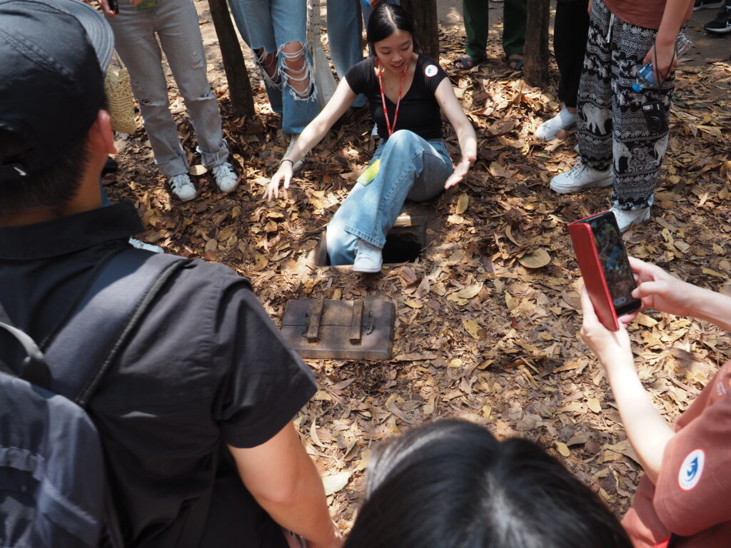
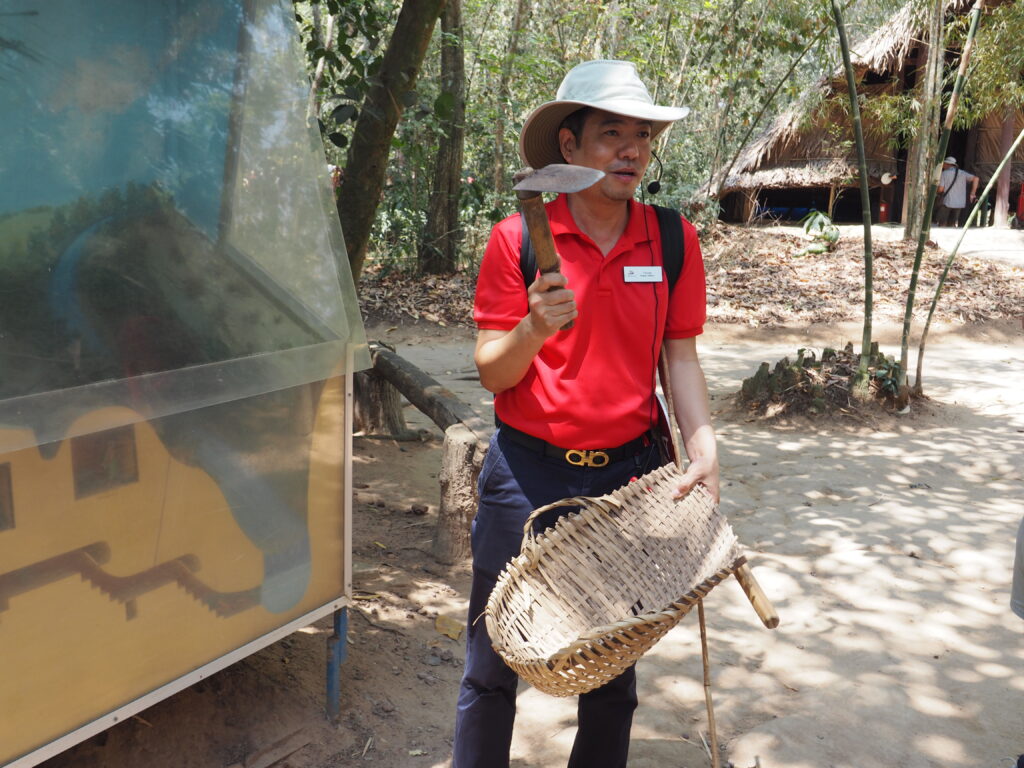
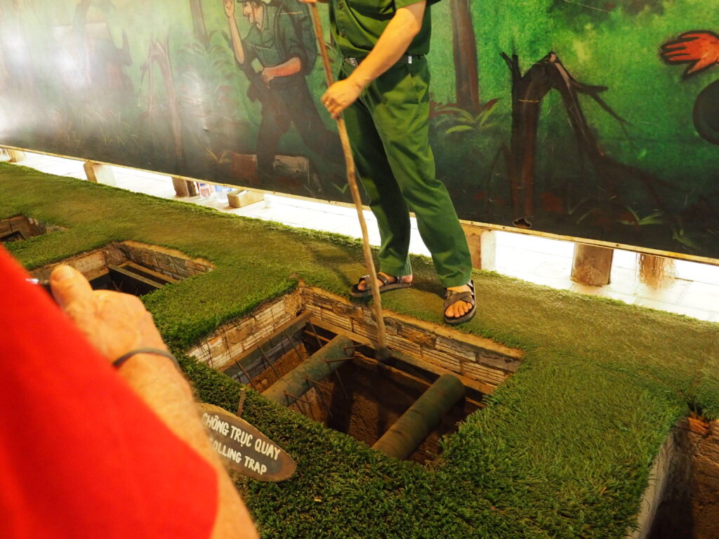
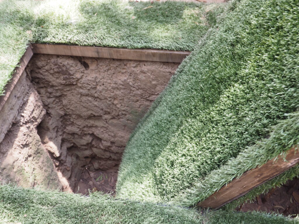
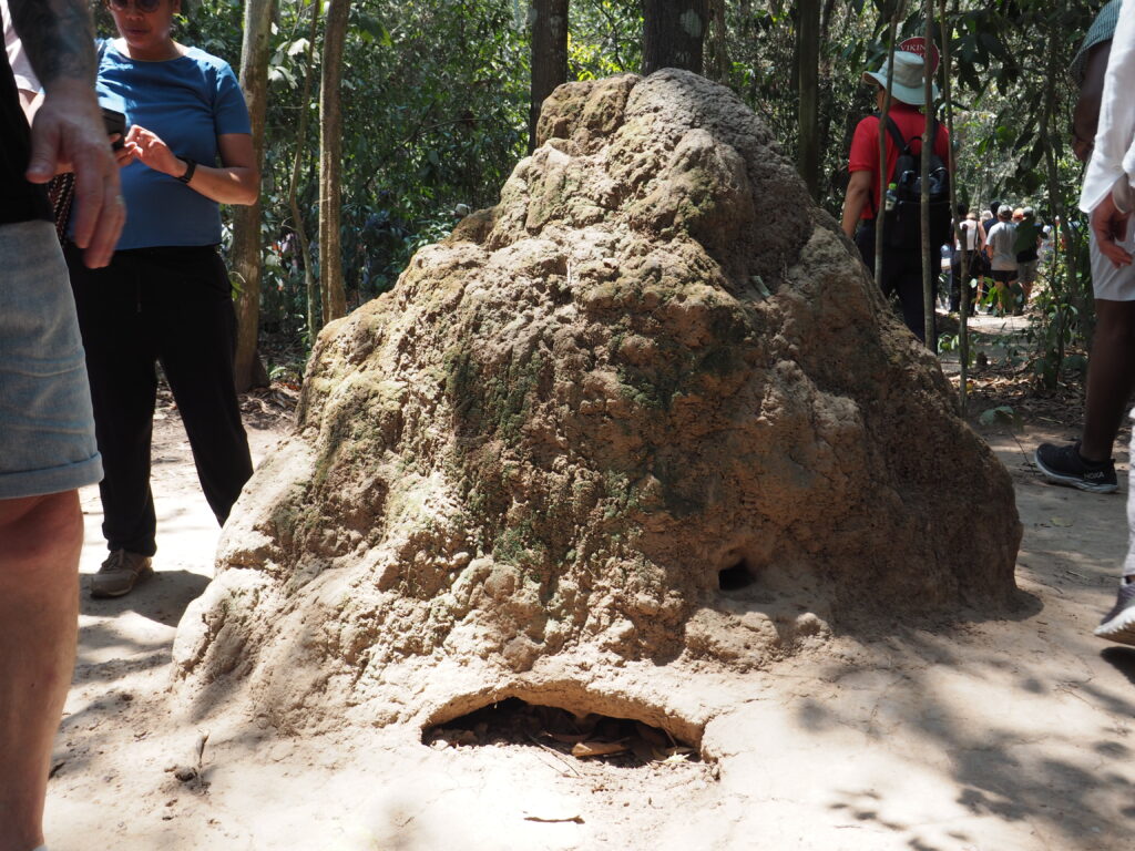
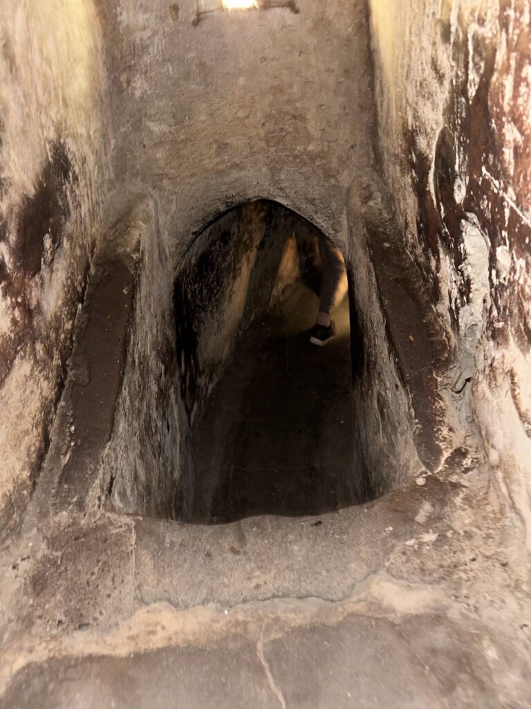
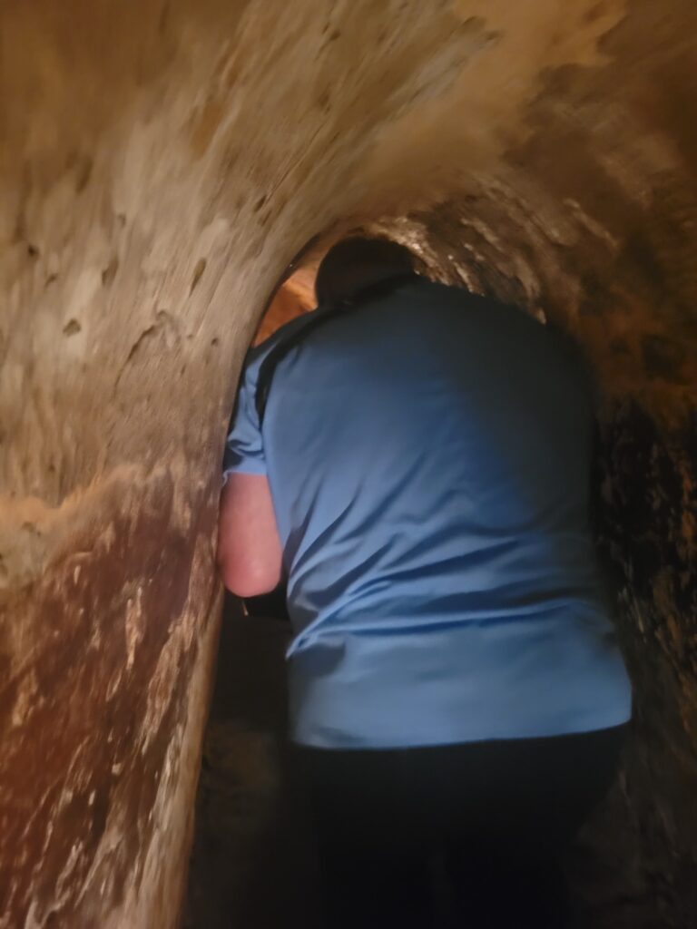
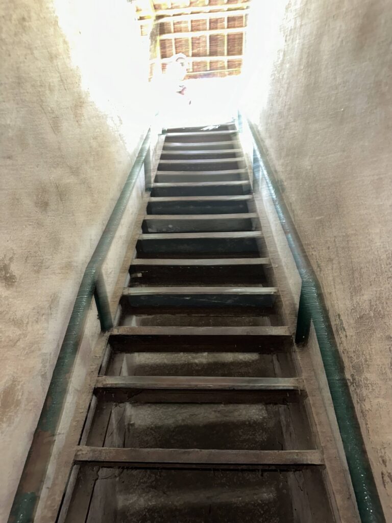
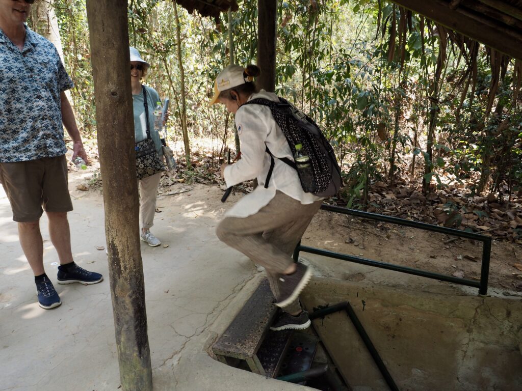
But, it was the labyrinth of deep tunnels with rooms for sleeping and cooking (with elaborate systems to contain and control smoke) that shielded the VietCong from both discovery and bombing.
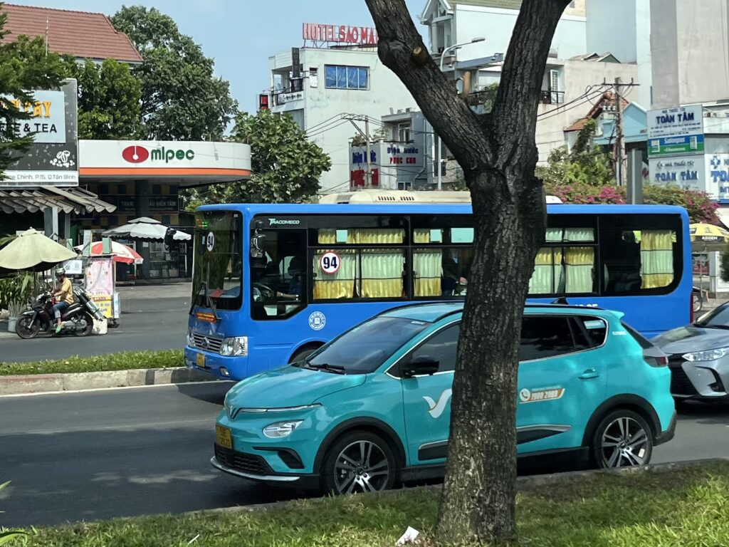
This deep dive into all-too-lived-history makes us eager to see more of the Saigon we glimpsed earlier in the day, one firmly planted in the 21st century, as unsettling as that sometimes is.