Deep inside Cambodia up the Tonlé Sap river that flows in two directions depending on the season and just north of the huge and bountiful freshwater lake of the same name with its floating villages is Angkor, an agglomeration of temple cities serving as the capitals of the Khmer Empire that dominated Southeast Asia for hundreds of years and occupied a landscape larger than present day Paris with as many as a million people living there amidst imperial grandeur from the early ninth century until its sack by Ayutthaya (a Siamese [Thai] empire) in 1431. This largest pre-industrial city in the world (by territory) had extensive infrastructure to support its population, including a sophisticated water management system to stabilize, store and disperse water to compensate for the unpredictability of the monsoon season. Its more than 1,000 temples lie scattered across the present forested landscape in various states of preservation and repair (constructed with far more stone than used in all of ancient Egypt), the most famous and iconic being the temple city of Angkor Wat, the only building depicted on a national flag.
Angkor Wat
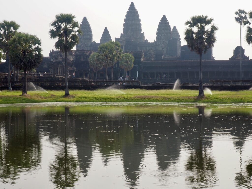
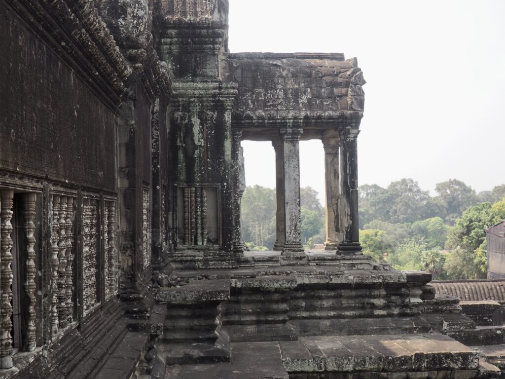
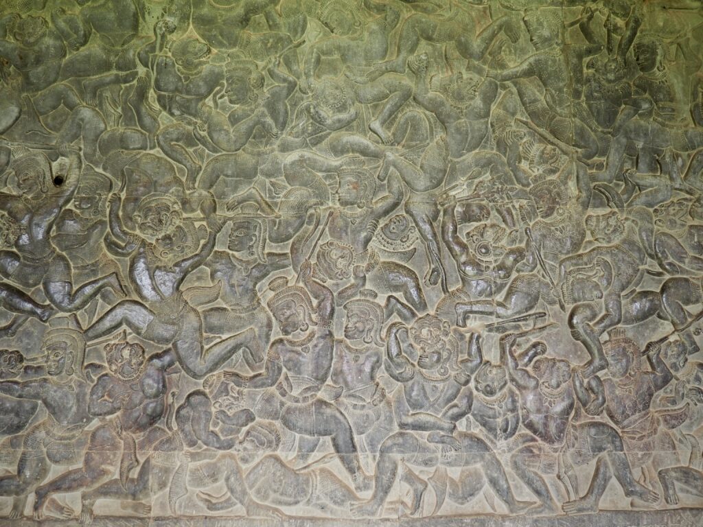
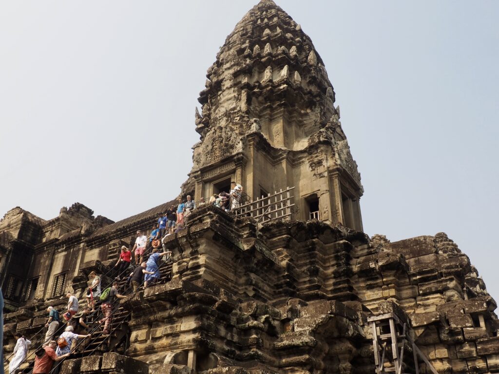
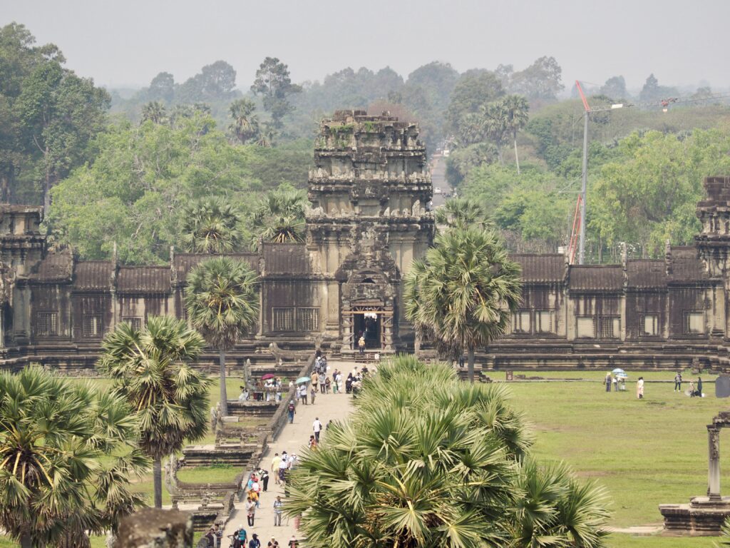
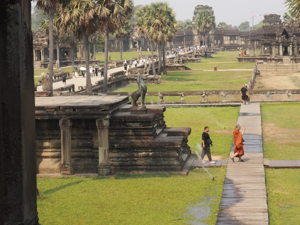
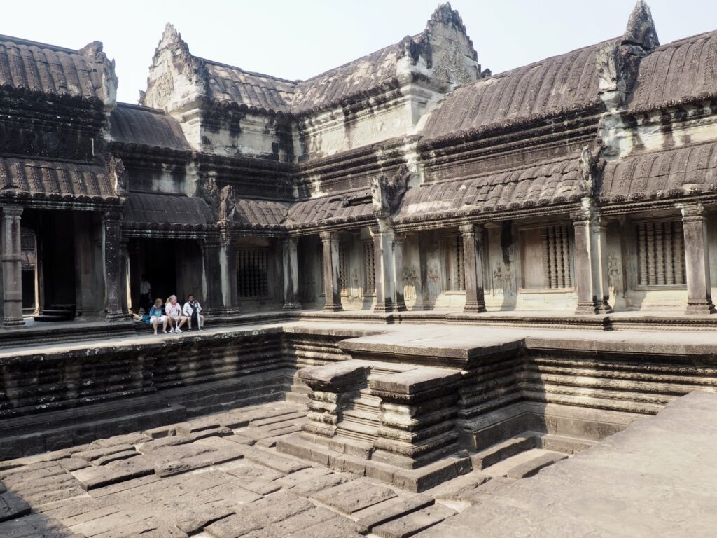
This largest religious structure in the world was built in the early 12th century as a Hindu temple dedicated to Vishnu and then adapted to serve as a Buddhist temple towards the end of the same century, so it retains both identities. The architectural layout is based on the Hindu and Buddhist idea of Mount Meru, the five-peaked mountain at the center of the universe. It is surrounded by an enormous moat that’s more than 3 miles long and which may represent, again, the universe surrounded by water. There are also very long galleries of bas reliefs depicting, for example, scenes from the Ramayana. But, we’ll allow the photos to speak, as all that remains are manipulations of landscape, human compositions in stone, a few travelers’ tales, and the continuous habitation of a handful of monks.






Angkor Thom
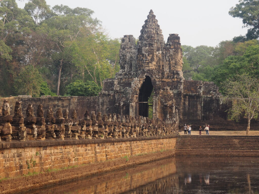
Established in the late 12th century, Angkor Thom was also a moated temple city serving as the last capital complex of the Khmer kings at Angkor, with magnificent gods and demons lining the bridge across the moat to the South Gate.


A naga or seven headed snake (left and below) seems to be everywhere. It’s a sacred and revered Hindu deity in the form of a cobra (often partly human) that protects from evil and is typically seen on the ends of railings or, in Buddhist tradition, as a protective hood over the head of the Buddha.


Heads facing in four directions are incorporated into the gate and, as you’ll see, are a common design element. The meaning or significance are unknown, although they may represent the king (look long and hard enough and, honestly, you’ll see them).
Bayon

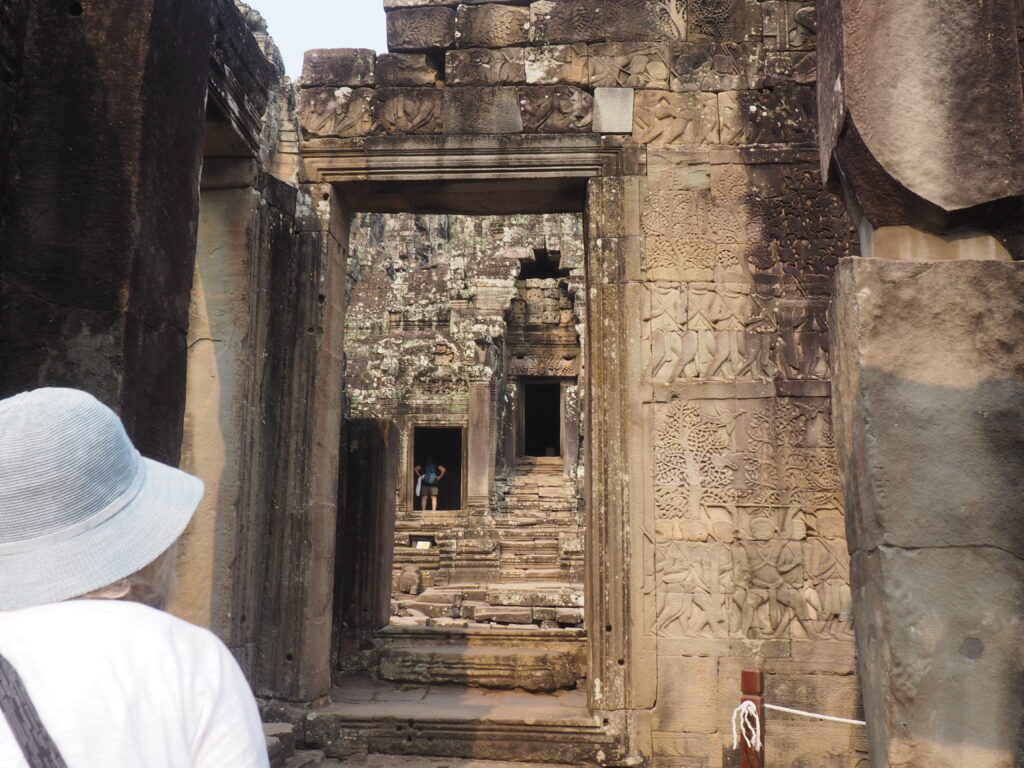
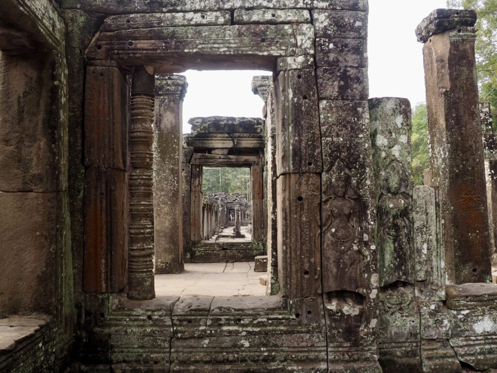
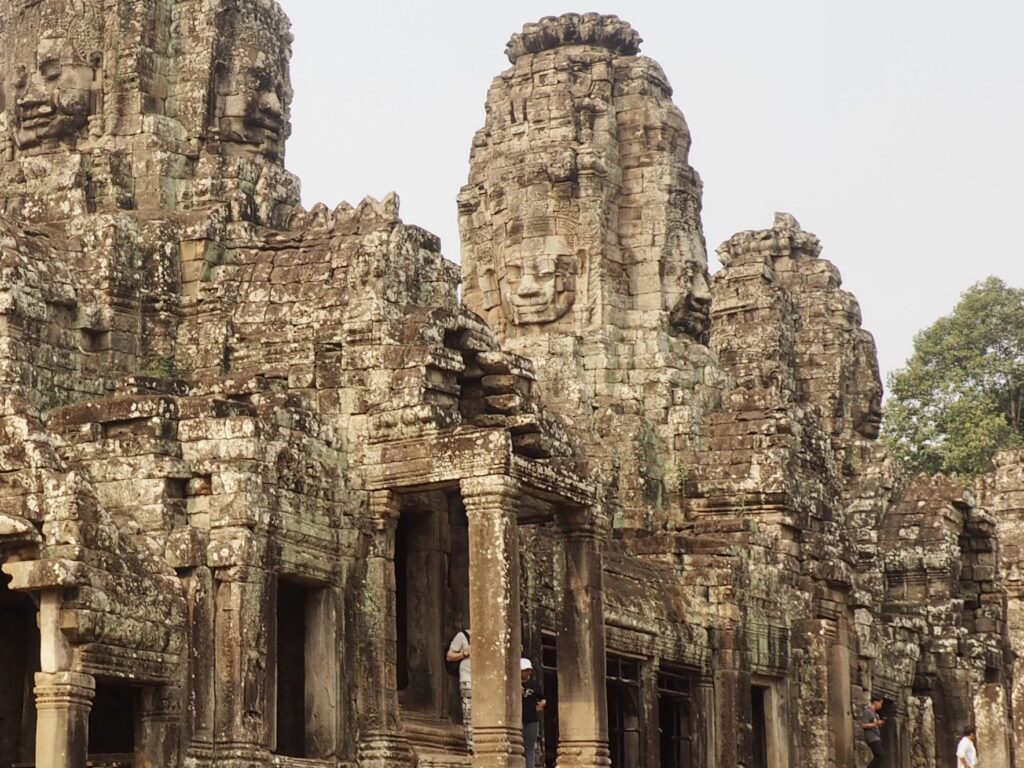
Built in the late 12th or early 13th century, Bayon occupies the center of Angkor Thom, is the last temple constructed in Angkor, and has an architectural style distinct from Angkor Wat, especially with all those contented faces looming over you in all four directions. There’s a debate as to whether the faces represent the Buddhist bodhisattva of compassion (Avalokitesvara, “the lord who looks down”) or the then-reigning king or Lord Brahma. Although the king was a Buddhist, there was a bit of back and forth over the years as Hinduism and Buddhism vied for influence and there are strong arguments (favored by the locals) that it’s Brahma.


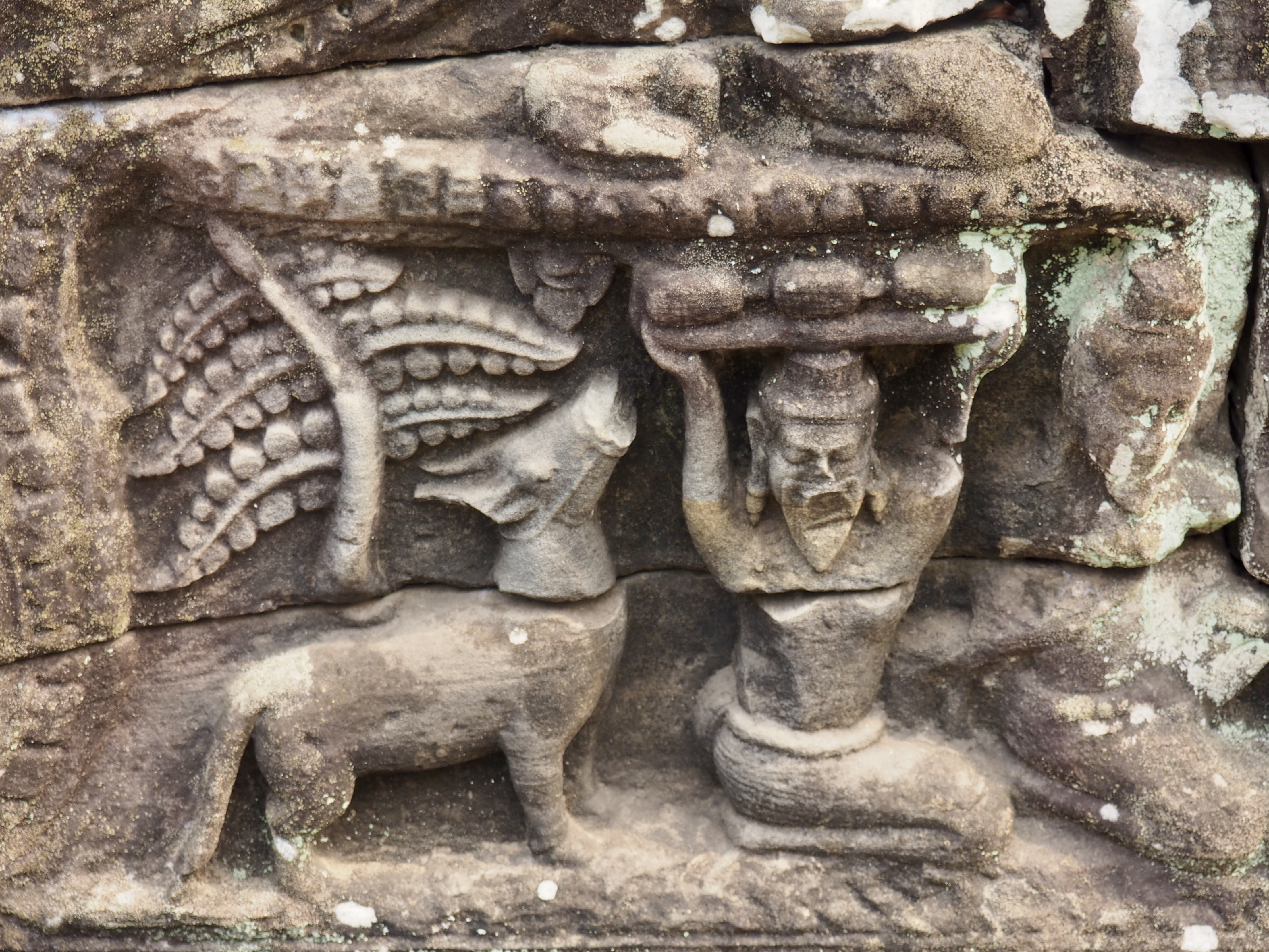


The bas reliefs at Bayon depict both ordinary life of the time and historic events and are nicely preserved.
Terrace of the Leper King
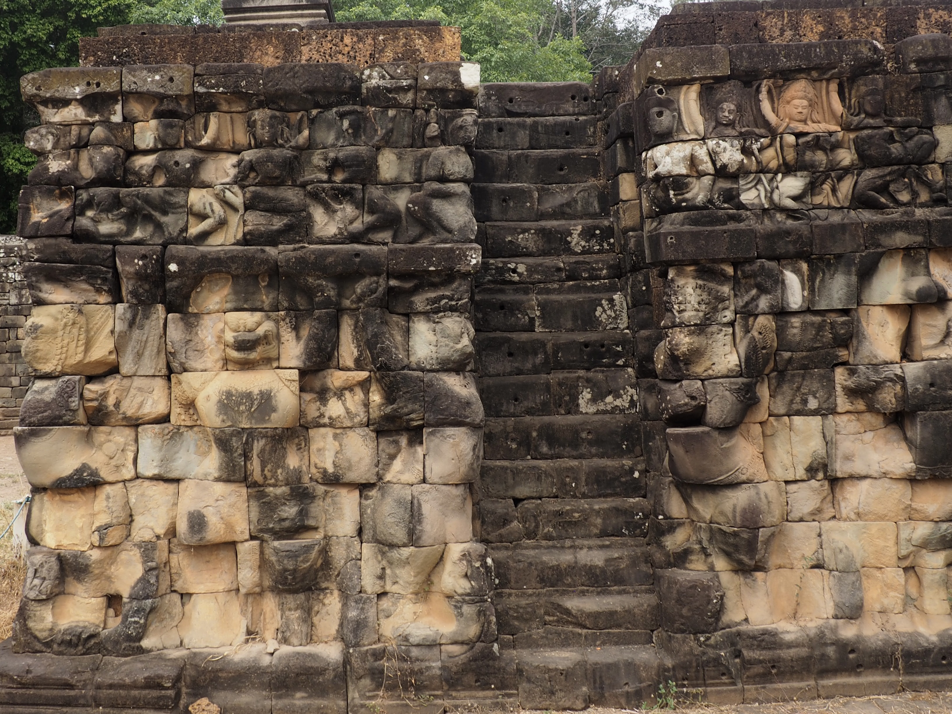
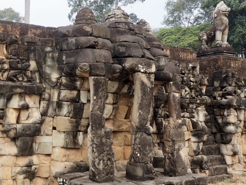
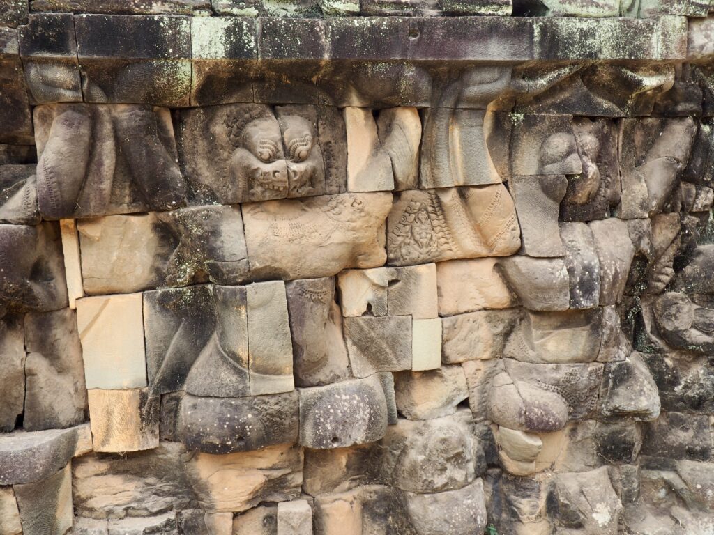
Also inside Angkor Thom is an area named after a “leper king” because of a discolored and moss encrusted statue found there and since replaced by a replica. Really. Although there is a legend about an early Angkor king who had leprosy, he has not be linked to this location. Anyway, the reliefs of animals are quite interesting and on a larger scale than we’ve seen.

Ta Prohm
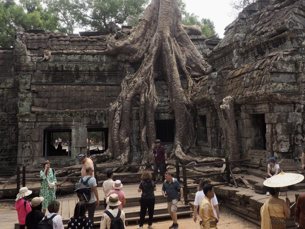

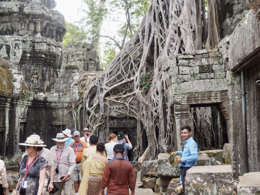
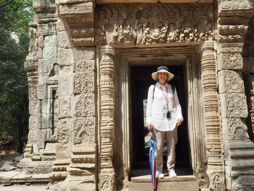
The massive popularity of Ta Prohm hinges on its gothic appeal of the revenge of nature and its cameo appearance in Lara Croft: Tomb Raider from 2001. Guides proudly tout their “wow” photo ops and take turns setting up group photos at the choicest spots. After Ayutthaya laid waste to Angkor and pushed the Khmer south to Phnom Penh, Ta Prohm was totally abandoned and the forest had its way. Favoring the conservation of the “picturesque,” decisions were made when conservation and restoration began early in the 21st century to leave Ta Prohm in its wild state, although efforts have now been made to stabilize and gradually restore the area.

But, enough about us. Ta Prohm was founded in 1186 as a monastery and center of learning dedicated to the king’s mother, according to a surviving stele. It’s not far from Angkor Thom.


According to that surviving stele, about 12,500 people lived in the monastery, including 18 high priests and 615 dancers, with a population of 80,000 people living nearby to support the monastery with food and services.
Let’s Not Forget the Size of the Task


Although some small continuous presence of monks at Angkor Wat helped to maintain the integrity of its structures, the rest of Angkor was in complete ruin. The armies of Ayutthaya did what they could to eradicate the capital of their long time rival empire (as would be their fate at the hands of the Burmese) and nature then had its way with structures that were, after all, merely stacked stone, not mortared in place. Throughout Angkor you will see not only piles of rubble, but reassembled bits of wall that seem to have obviously misplaced pieces. It’s thanks to the French for initiating the reconstruction of these masterpieces when the world began to recognize their value and to the many national teams that are continuing the effort, such as those from India and Japan.
