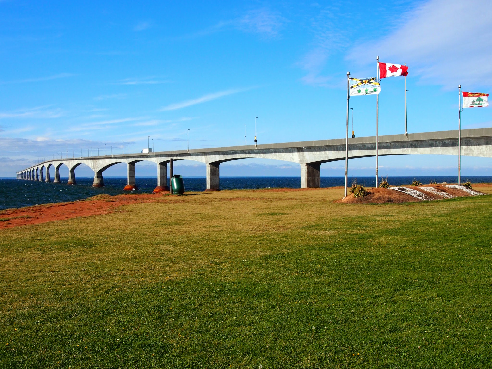
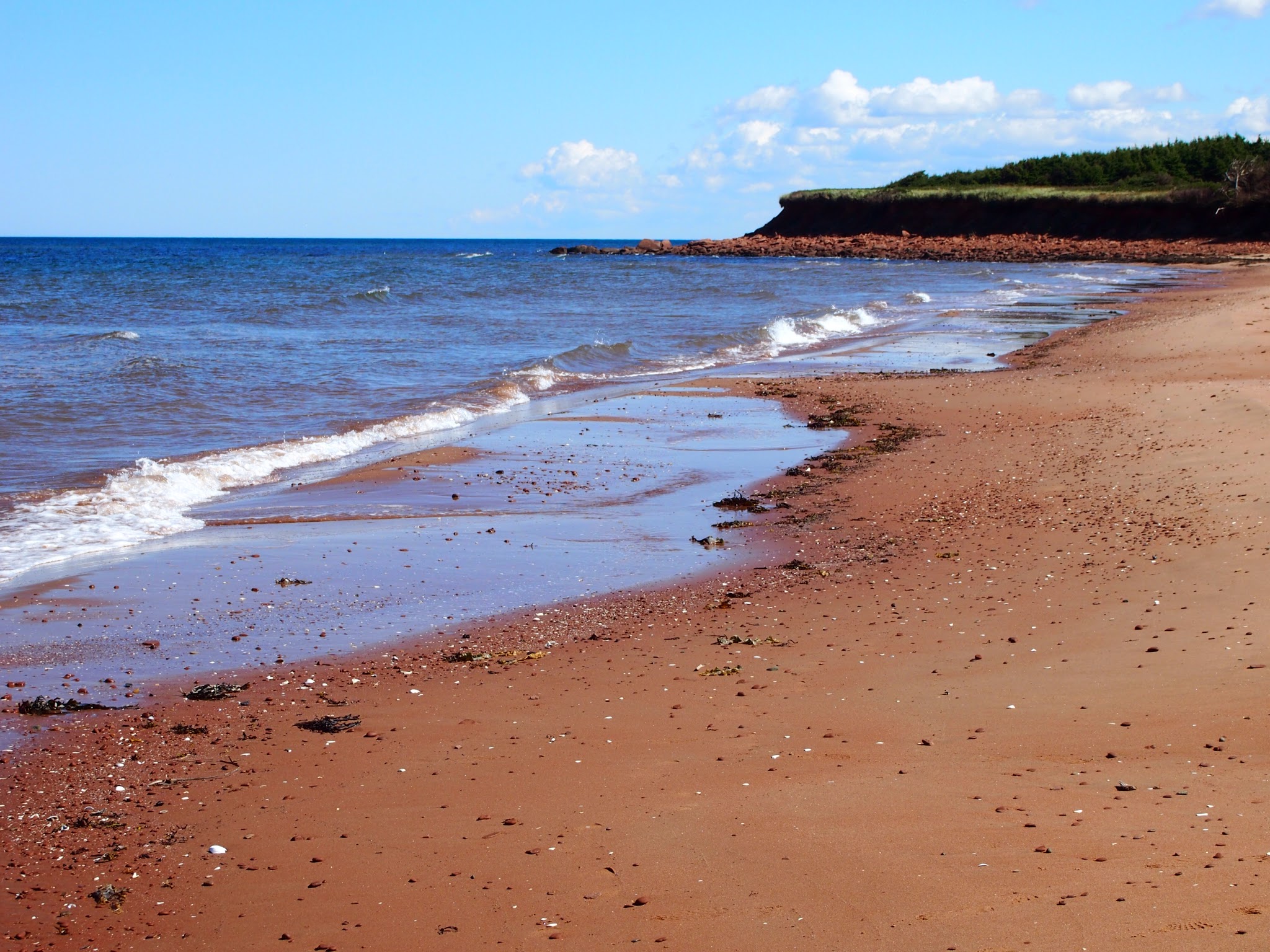
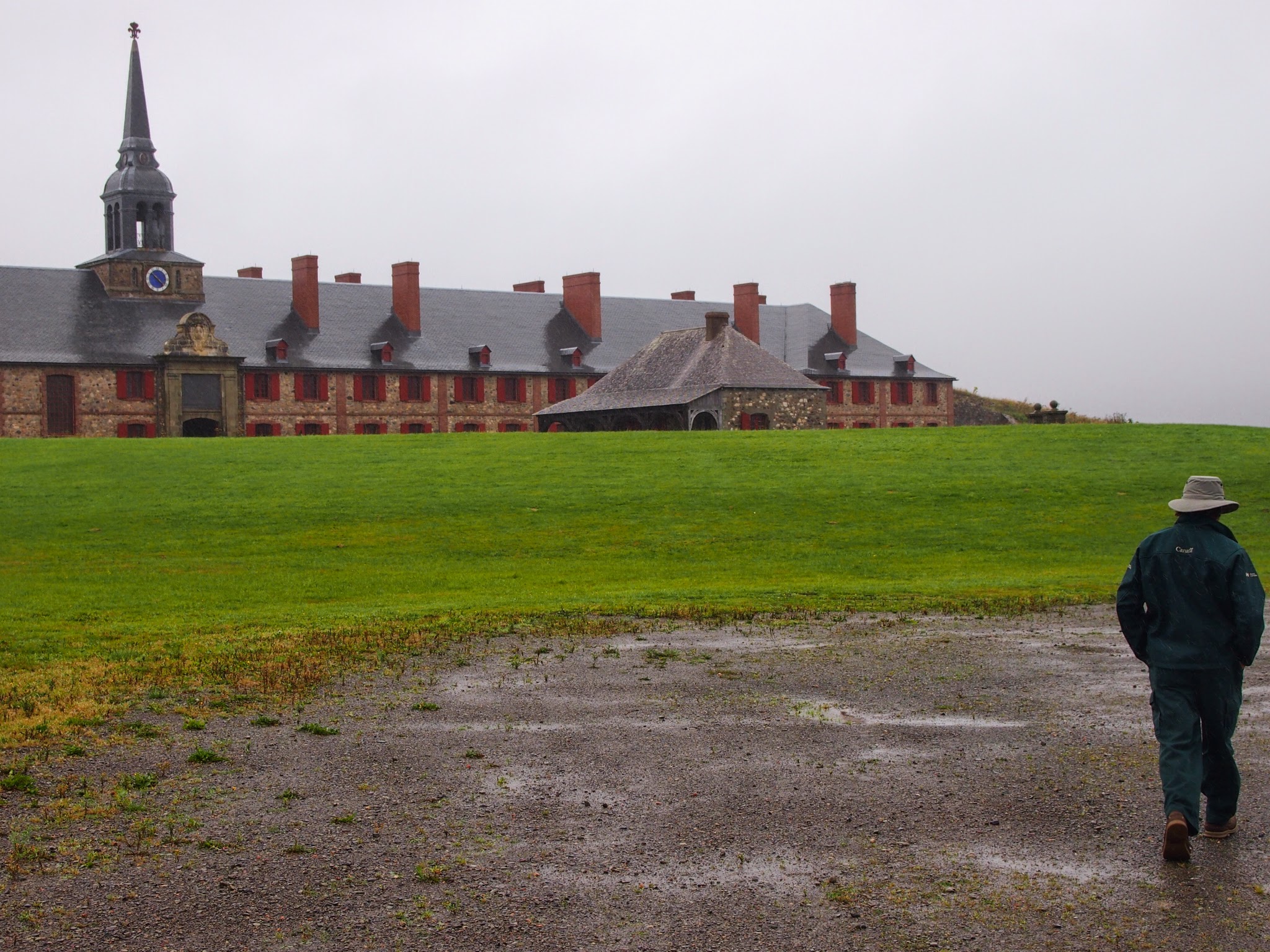
We decided to take the Confederation Bridge from PEI to New Brunswick. It’s an impressive 8 miles long and was built for a billion dollars in the early 1990s. Before it was named, people from PEI referred to it as “the fixed link,” for obvious reasons. The name “Confederation Bridge” honors the leading role PEI played in getting the various British colonies north of the US to organize themselves into what is now the independent Dominion of Canada.
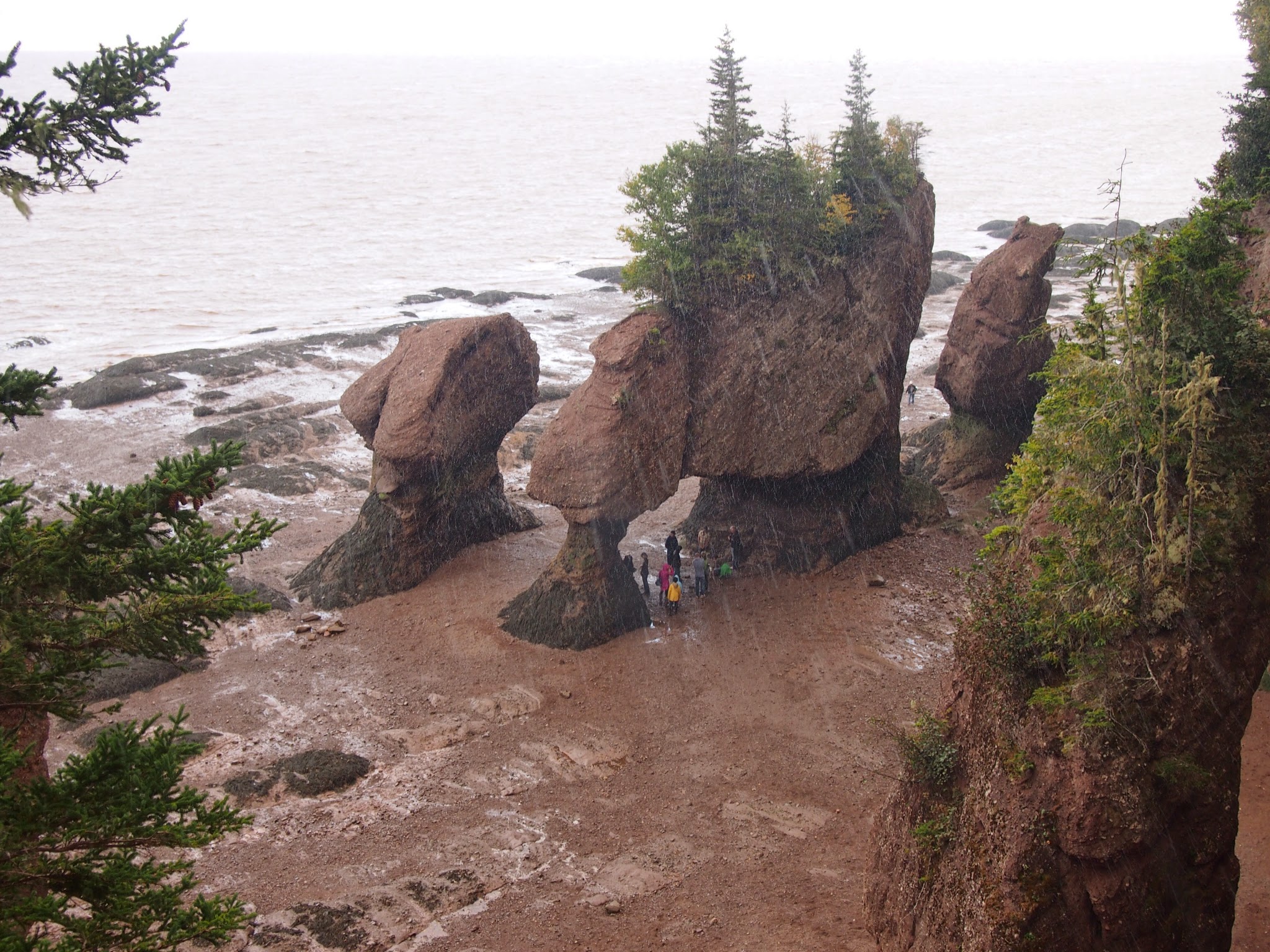
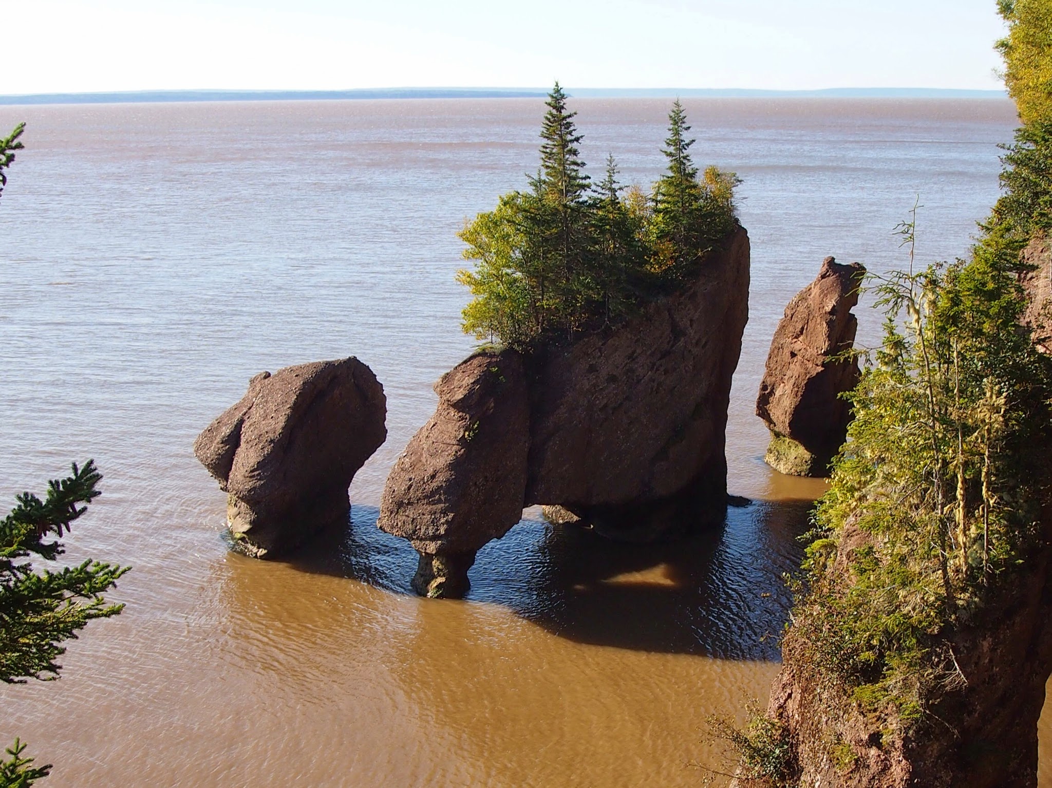
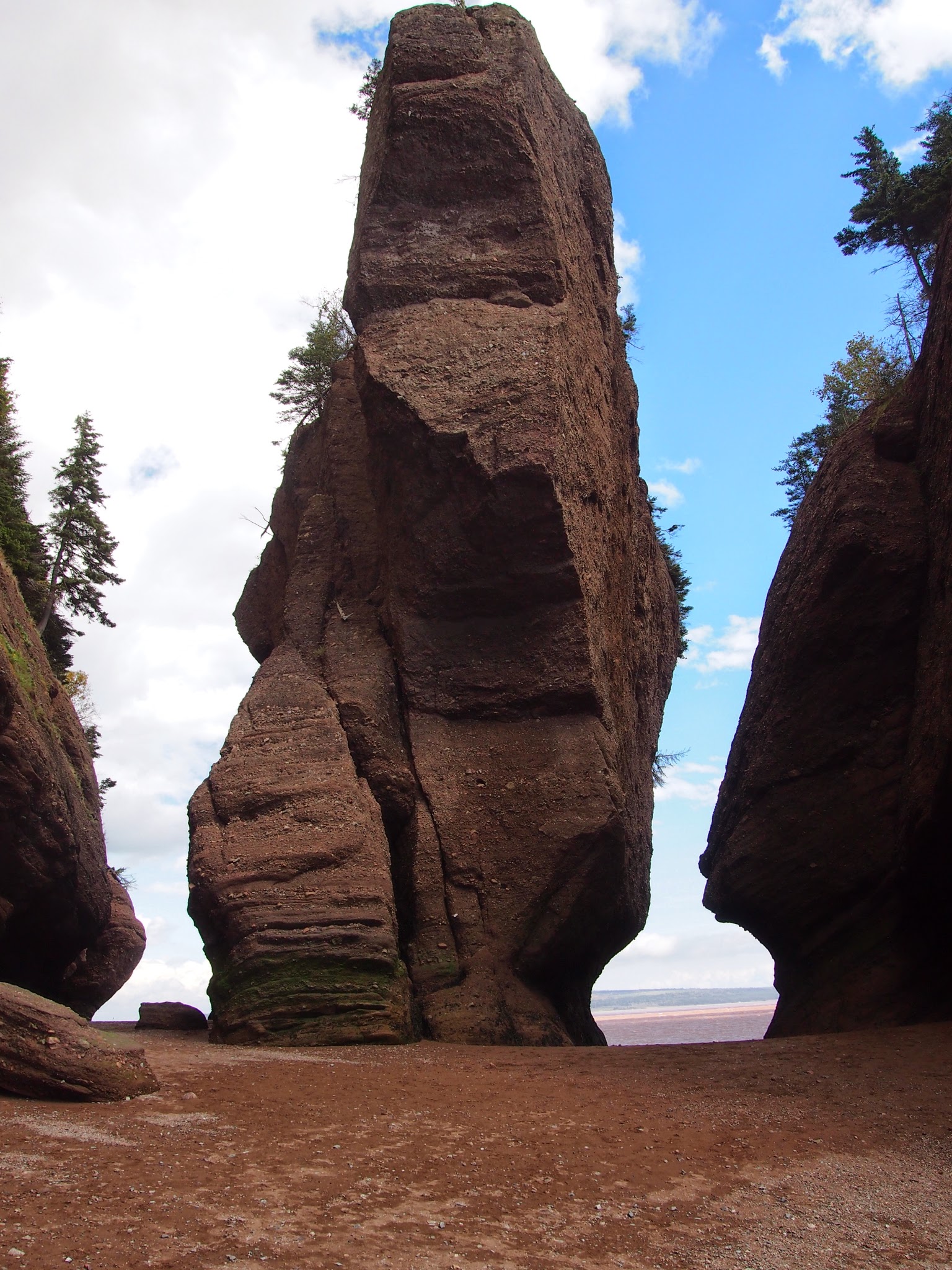
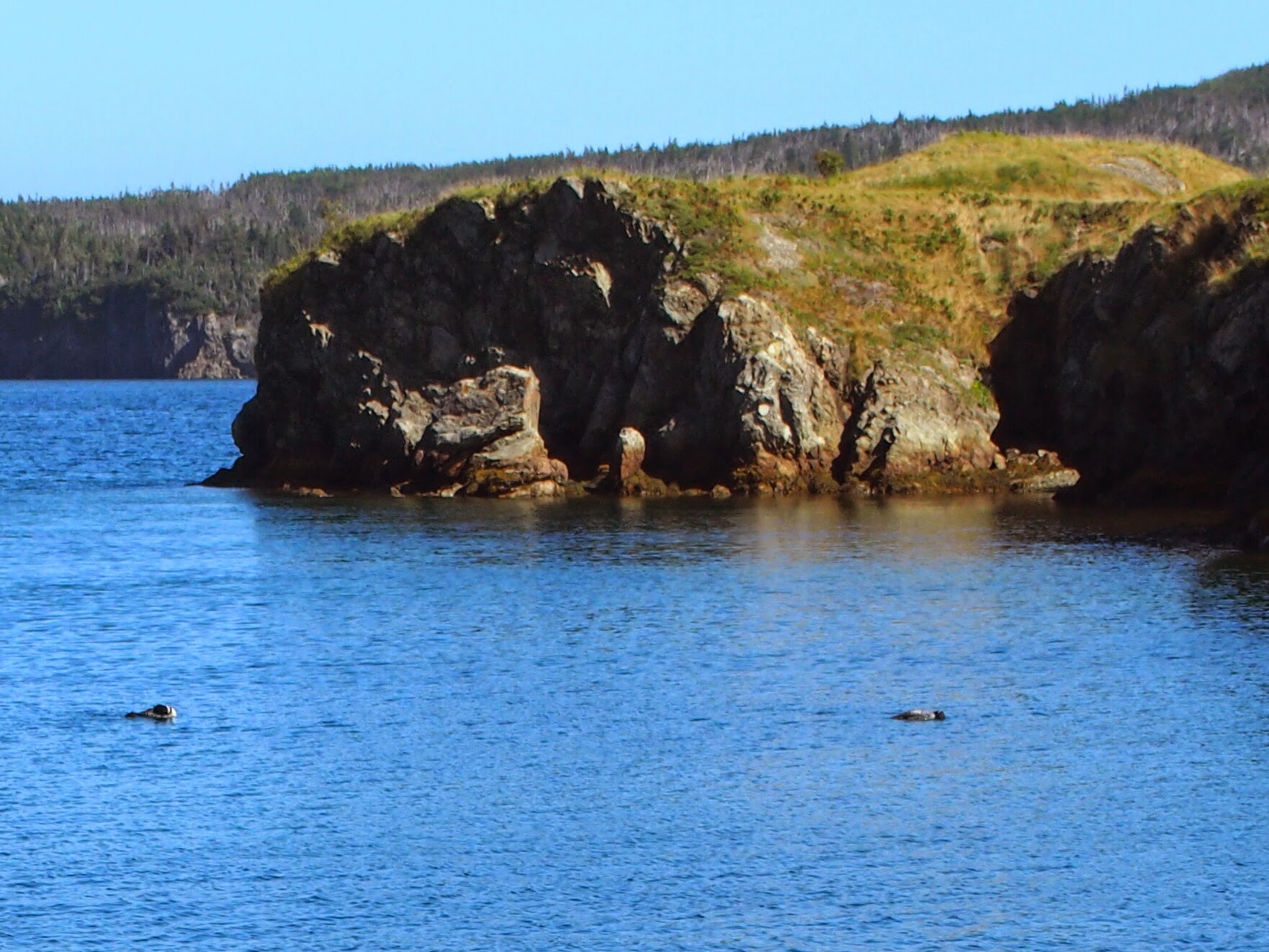
Once over the bridge, we made a beeline for Hopewell Rocks, where the difference in tide levels in the Bay of Fundy can be easily seen among some really interesting rock formations. Yes, those are people down there in the first photo. We then returned the following morning to snap the second photo at high tide on our way down along the coast of the bay. Of course, we’re used to big tides and those at the Bay of Fundy vary in size just like everywhere else. The ebb and flow of water always creates interesting terrain.
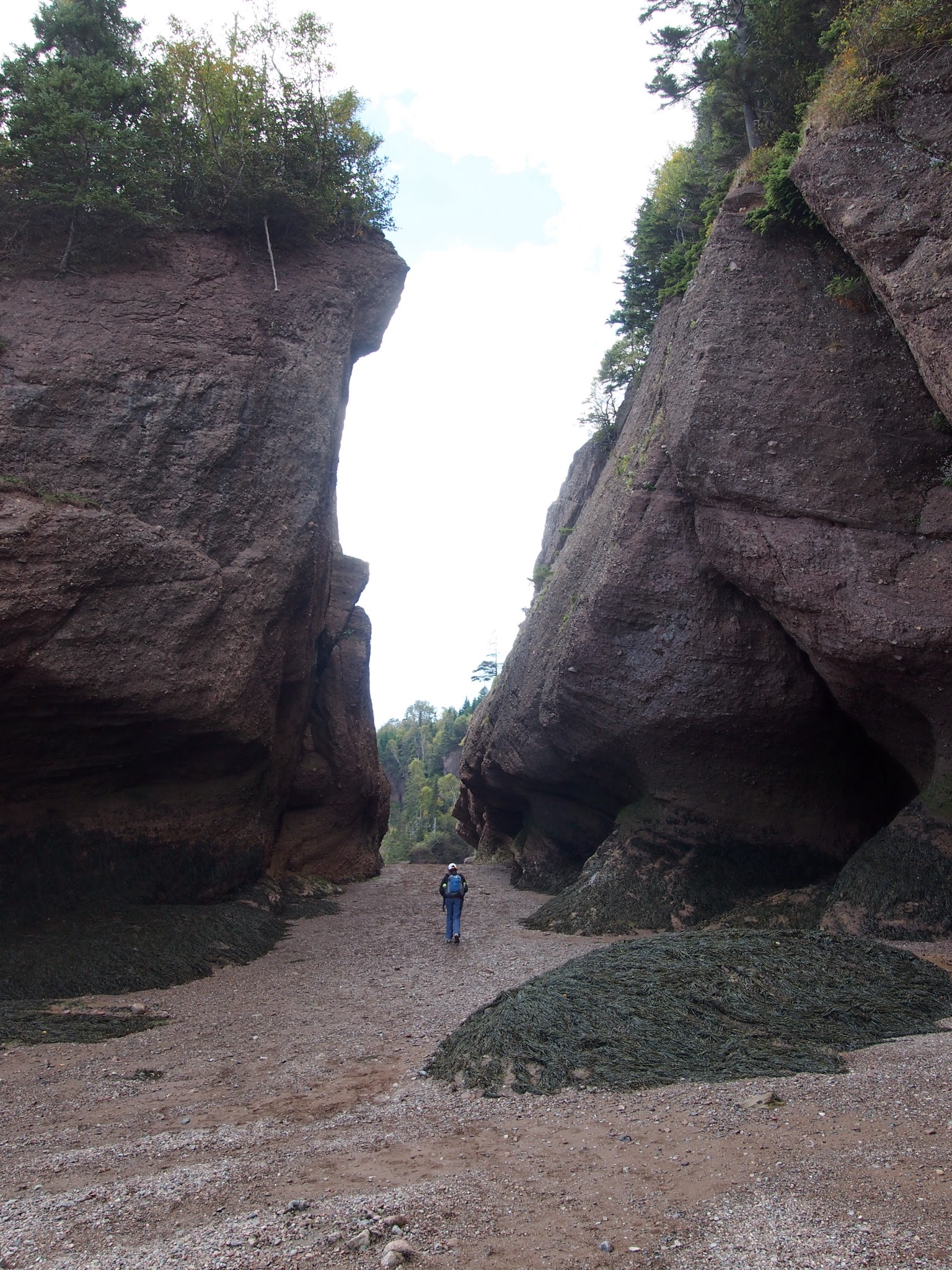
And, we did enjoy walking among the rock formations at low tide. It was like we were in the land of the giants.
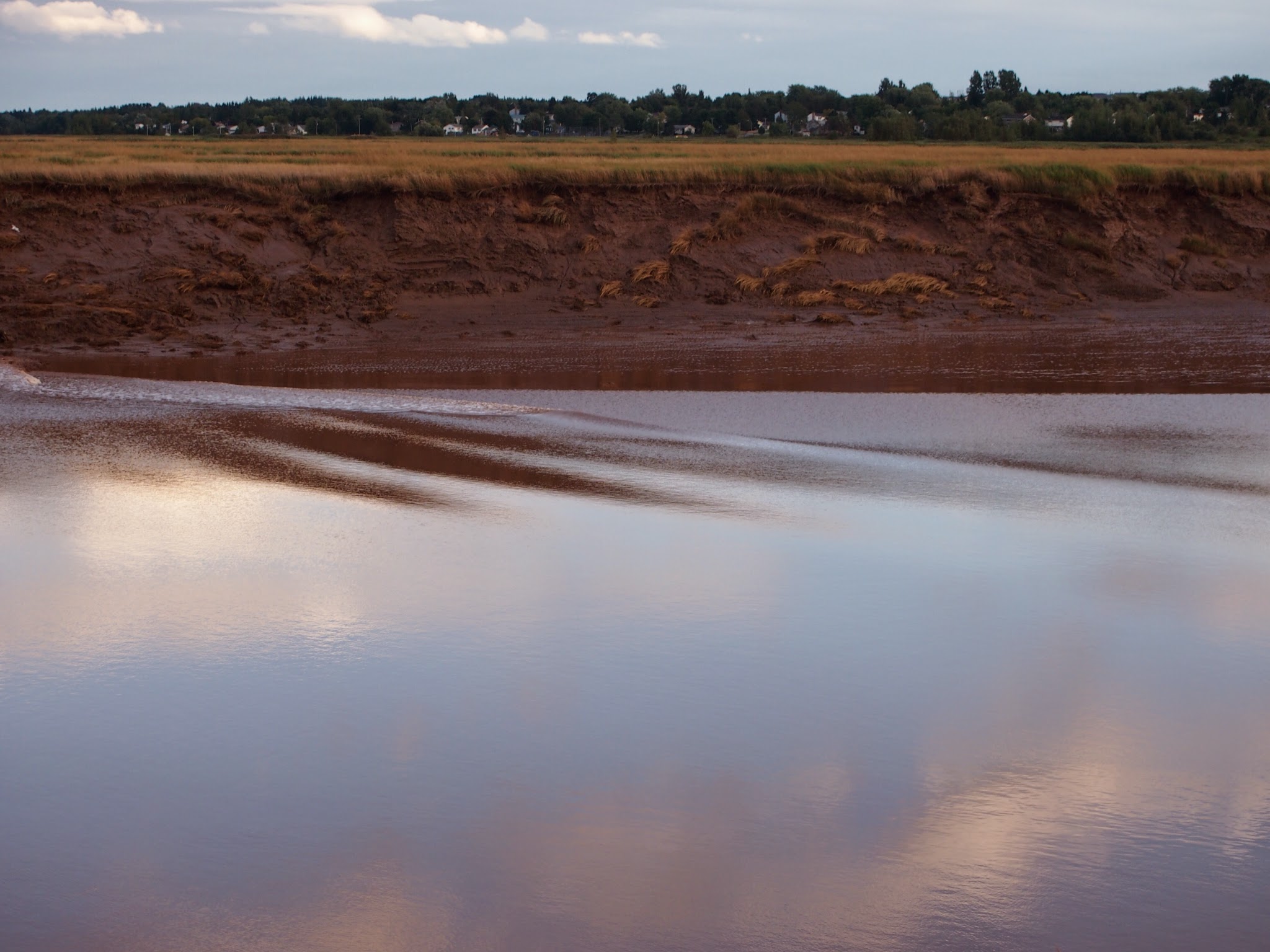
The mud flats also looked pretty amazing from the vantage point above the bay, oozy and plastic and glistening under an ominous sky.

But, let’s face it – some things in life are underwhelming. We made a reservation at a hotel right along the river in Moncton where you can see the “tidal bore.” We had read about it and been told that people can surf on the wave created when the tide reverses and, basically, pushes the river upstream. So, we stood out on the deck of the hotel overlooking the river in good time to see this effect, joining a man from St. John’s, Newfoundland, who had watched it a number of times before. It was fortunate we were talking with him, because we might otherwise have missed it. Alas, it was like waiting for the big parade and finding that only the dance schools showed up to march in it. We’re told that sometimes there is a bigger effect. That’s okay. Of course, it was kind of fun in its own way and it was a beautiful brisk evening. We were also feeling good about the meal we had just come from in neighboring Dieppe, even deeper into francophone New Brunswick. As we enjoyed our crepes francaise followed by our dessert crepes, we couldn’t help but overhear bits of the bewildering conversation at the table next to us between two twenty-something Acadian women. To us, it sounded like the sort of secret language twins sometimes adopt. It hopscotched among what we recognized as somewhat standard French to a sort of French patois to perfectly accented standard English. We later noticed in watching TV that the news anchors spoke a proper Parisian French, but the reporters did not. Fascinating.


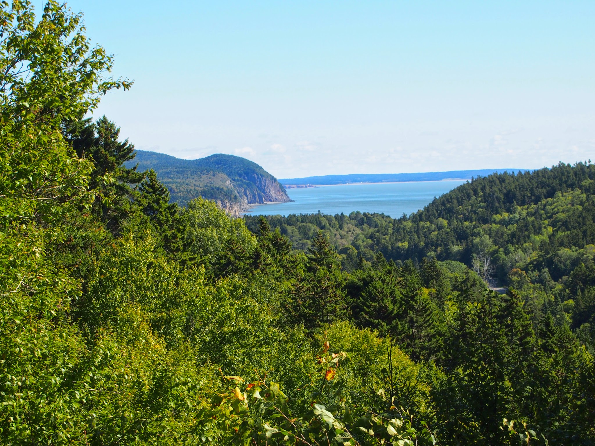
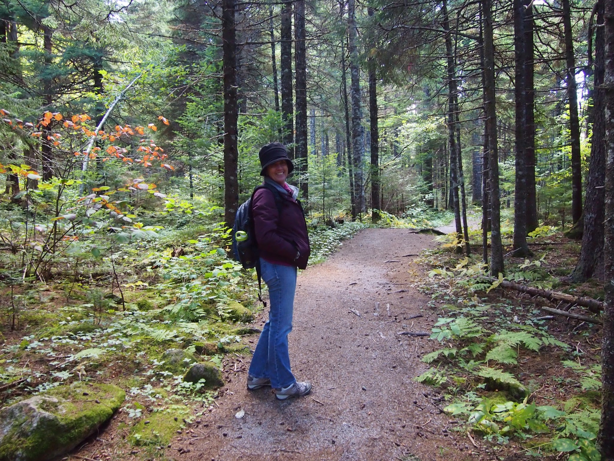
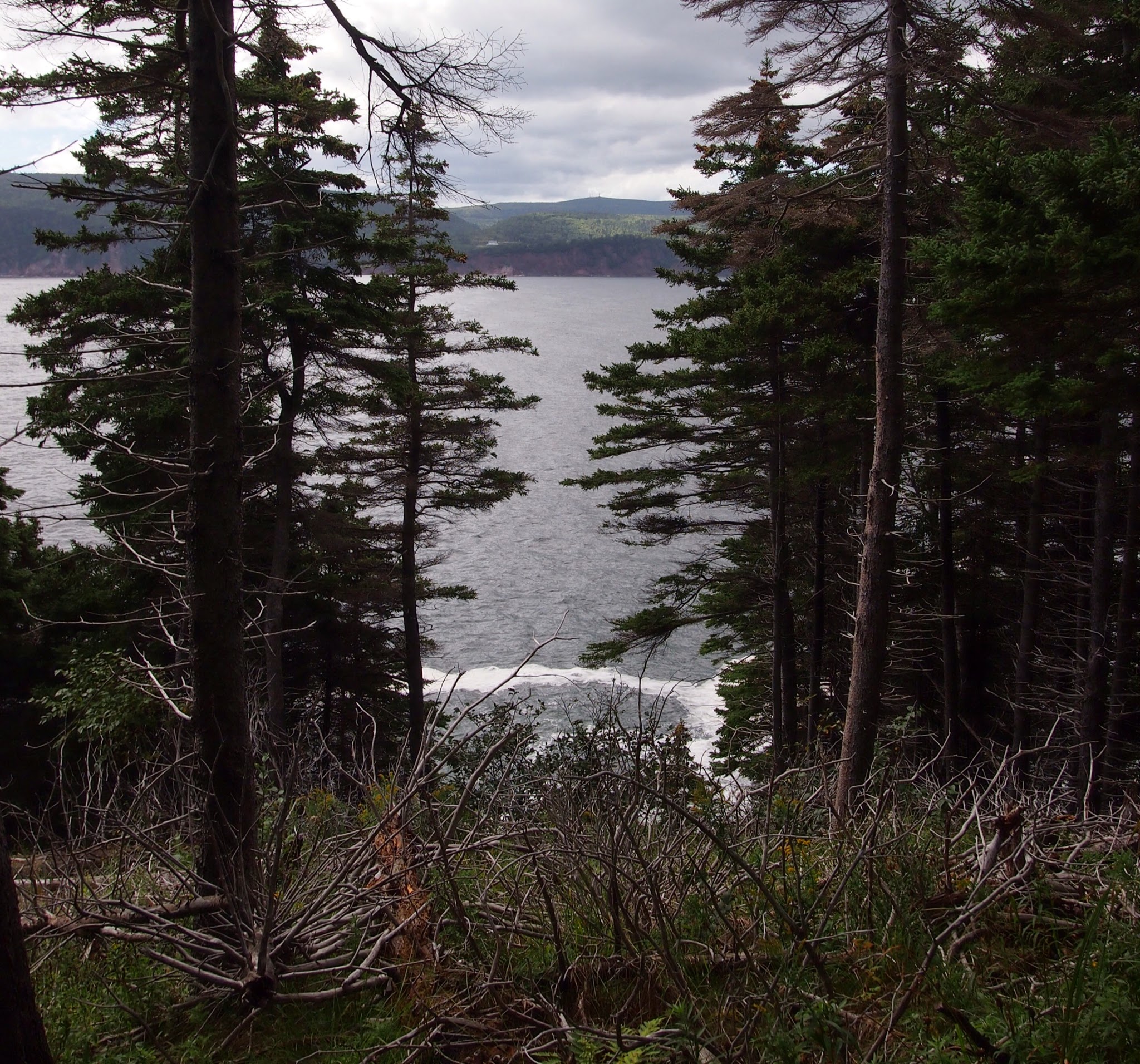
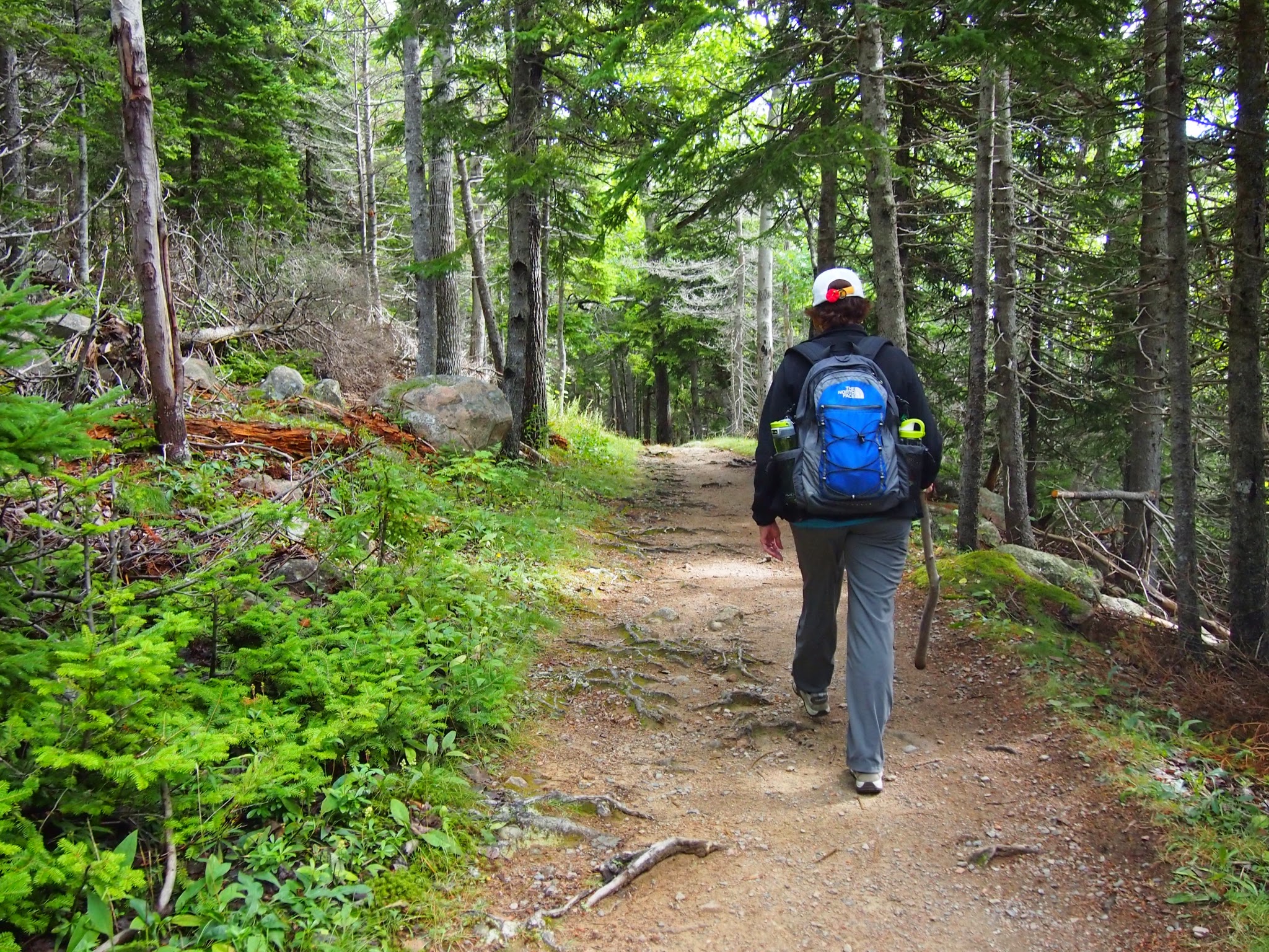
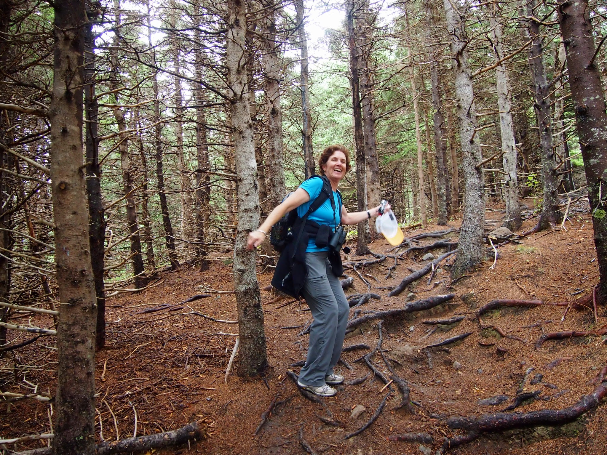
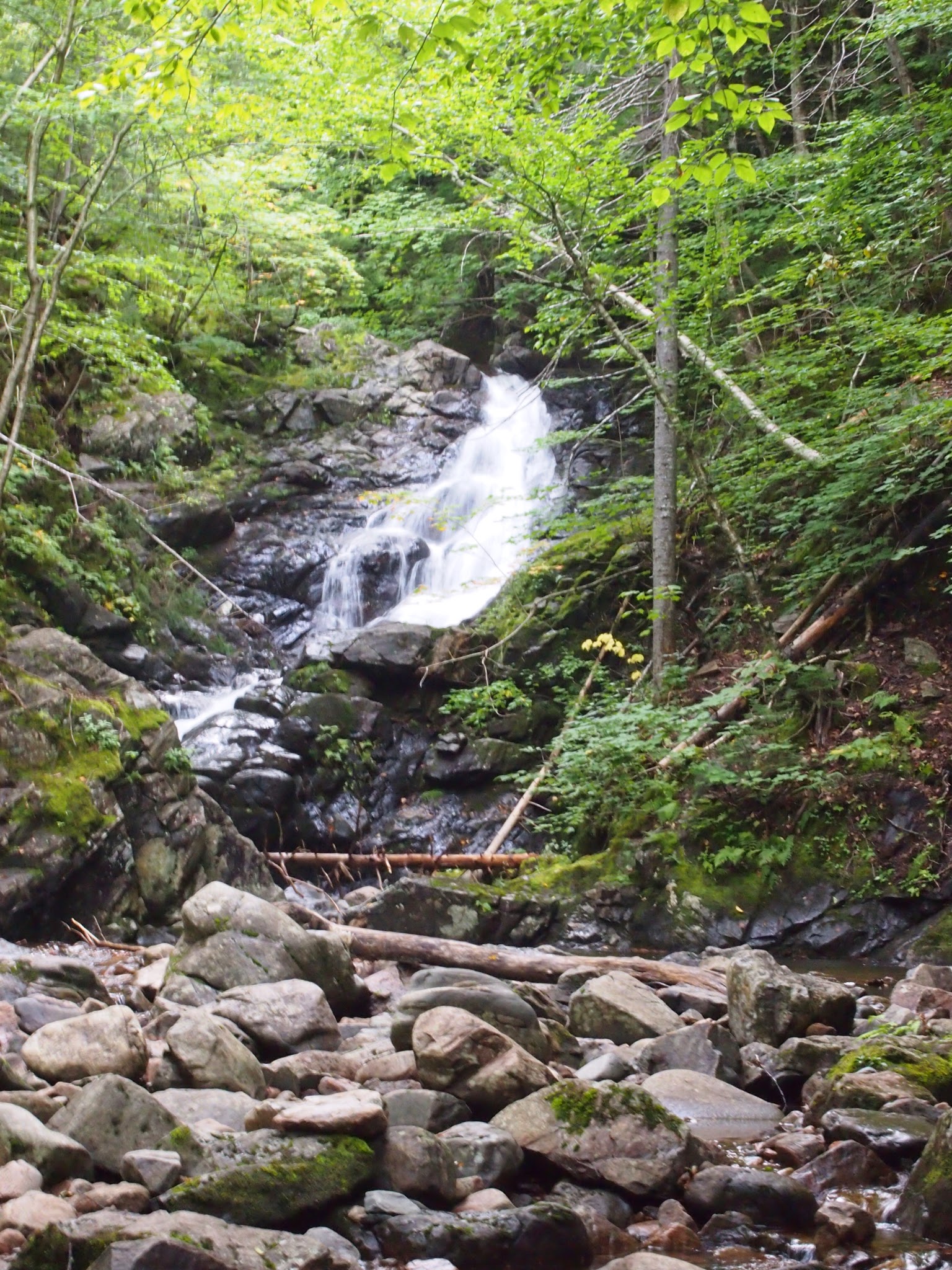
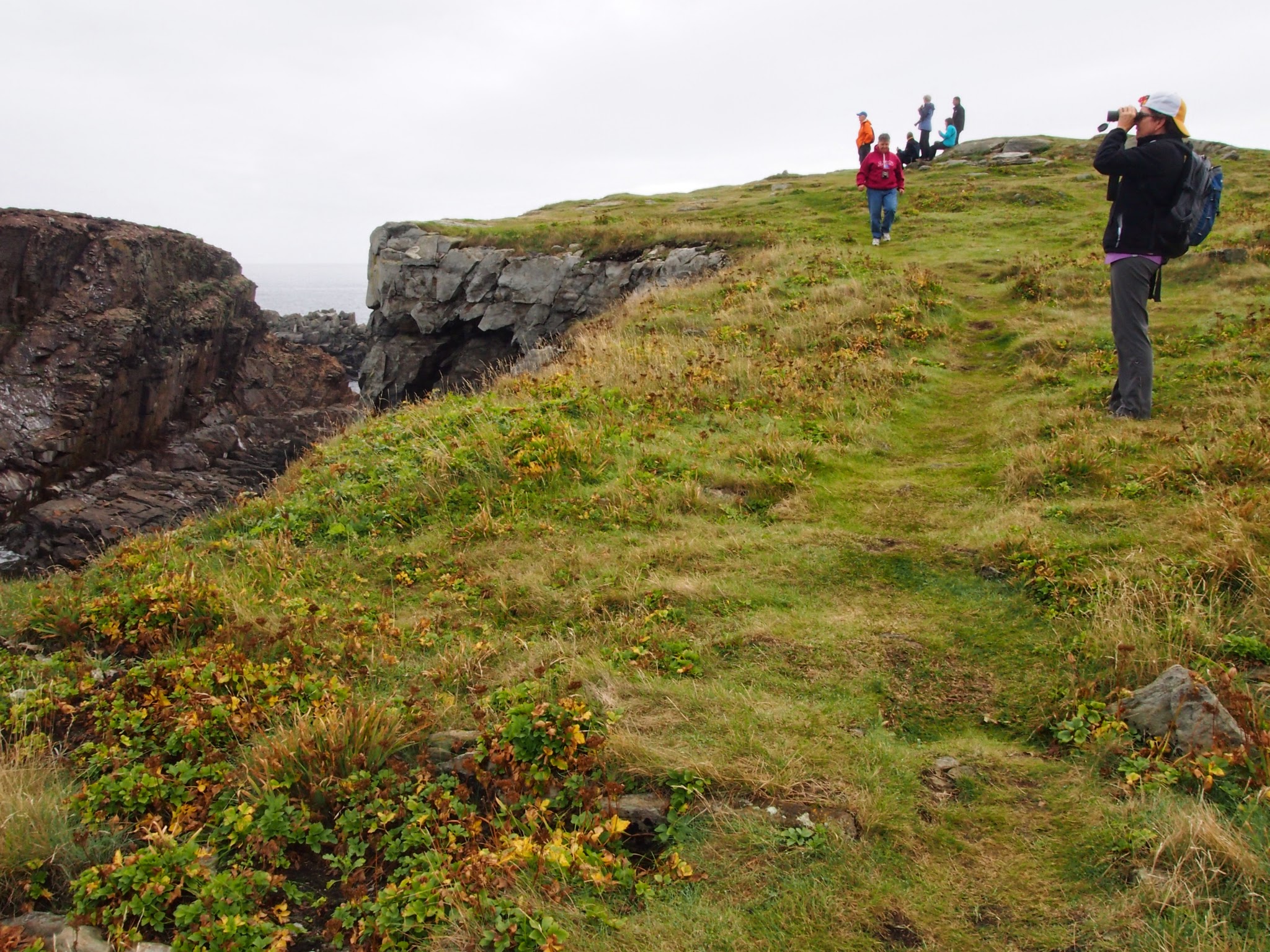
From Moncton, we drove back to Hopewell Cape for the photo of the mostly submerged rocks and then went into Fundy National Park for a few hikes.
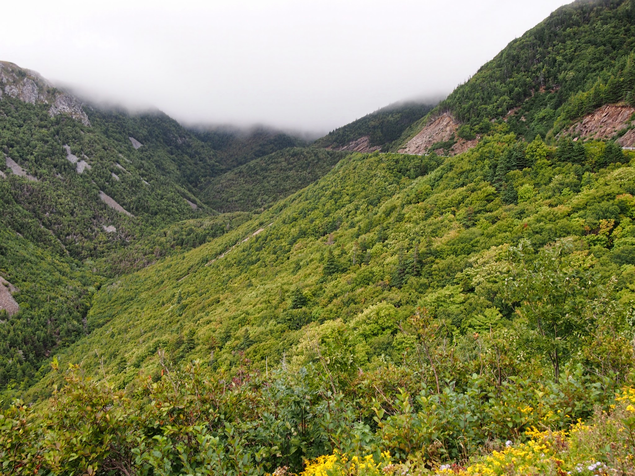
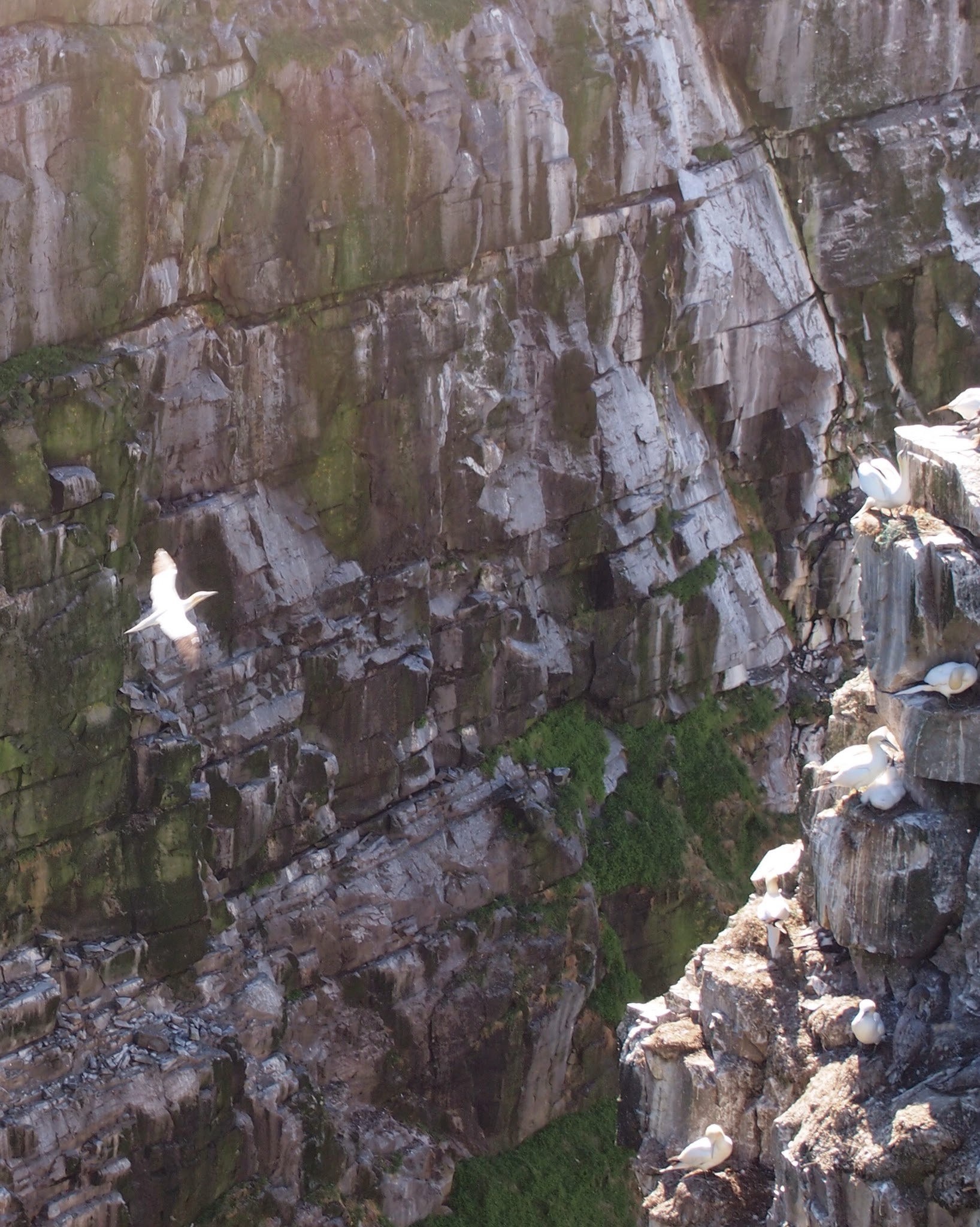
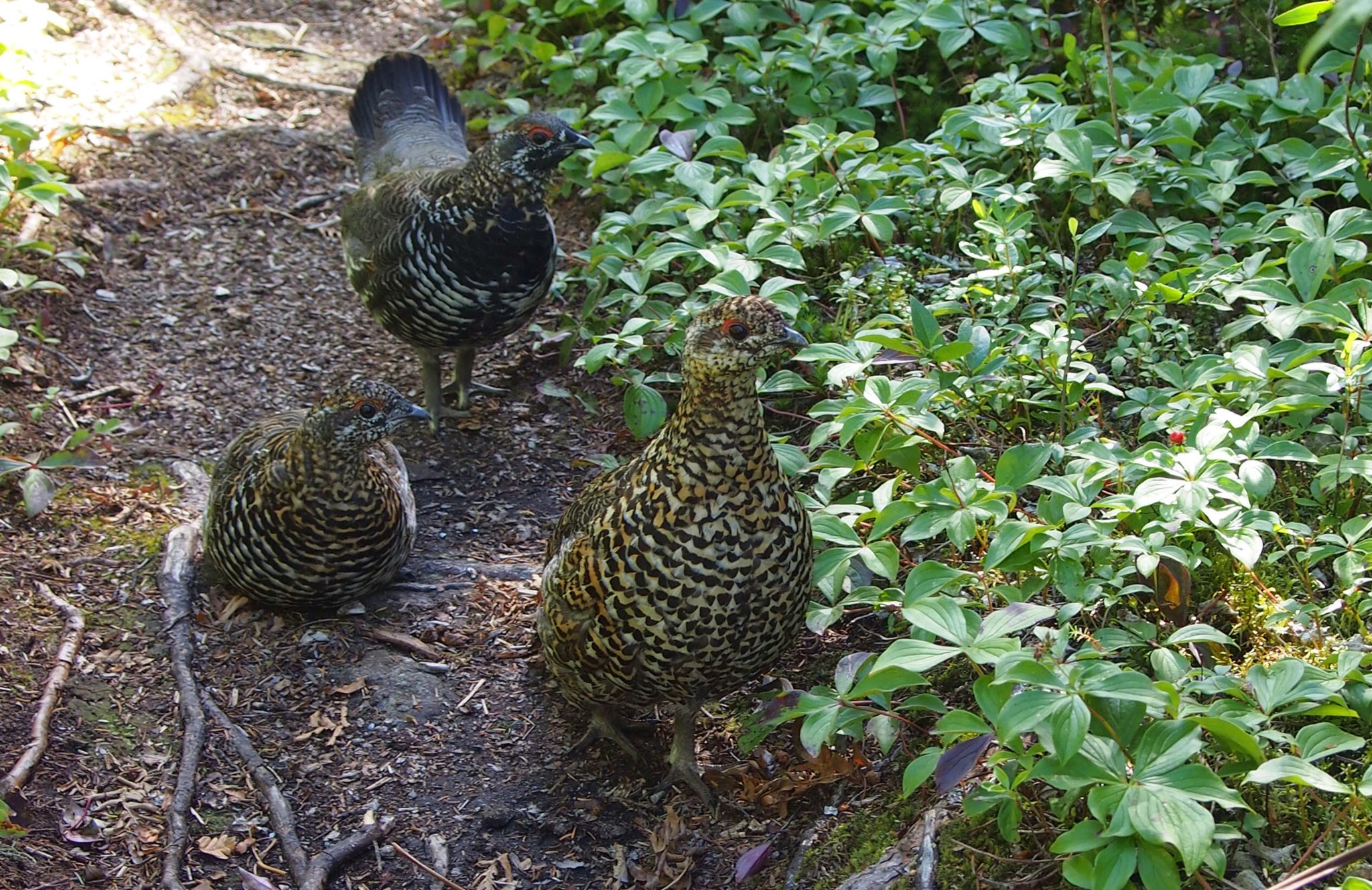
The signage said that in the time since the Park Service had built the boardwalk and viewing platform that got us this far into the bog, they had pulled two moose out of the muck at this spot. When the 4 meter thick peat decays, it has the same effect as quicksand.
Once we got to St. John, we checked in at our hotel and found that because of multiple conventions in town they were fully booked and had decided to upgrade us to the Presidential Suite. If only it were the Four Seasons, rather than Holiday Inn Express!
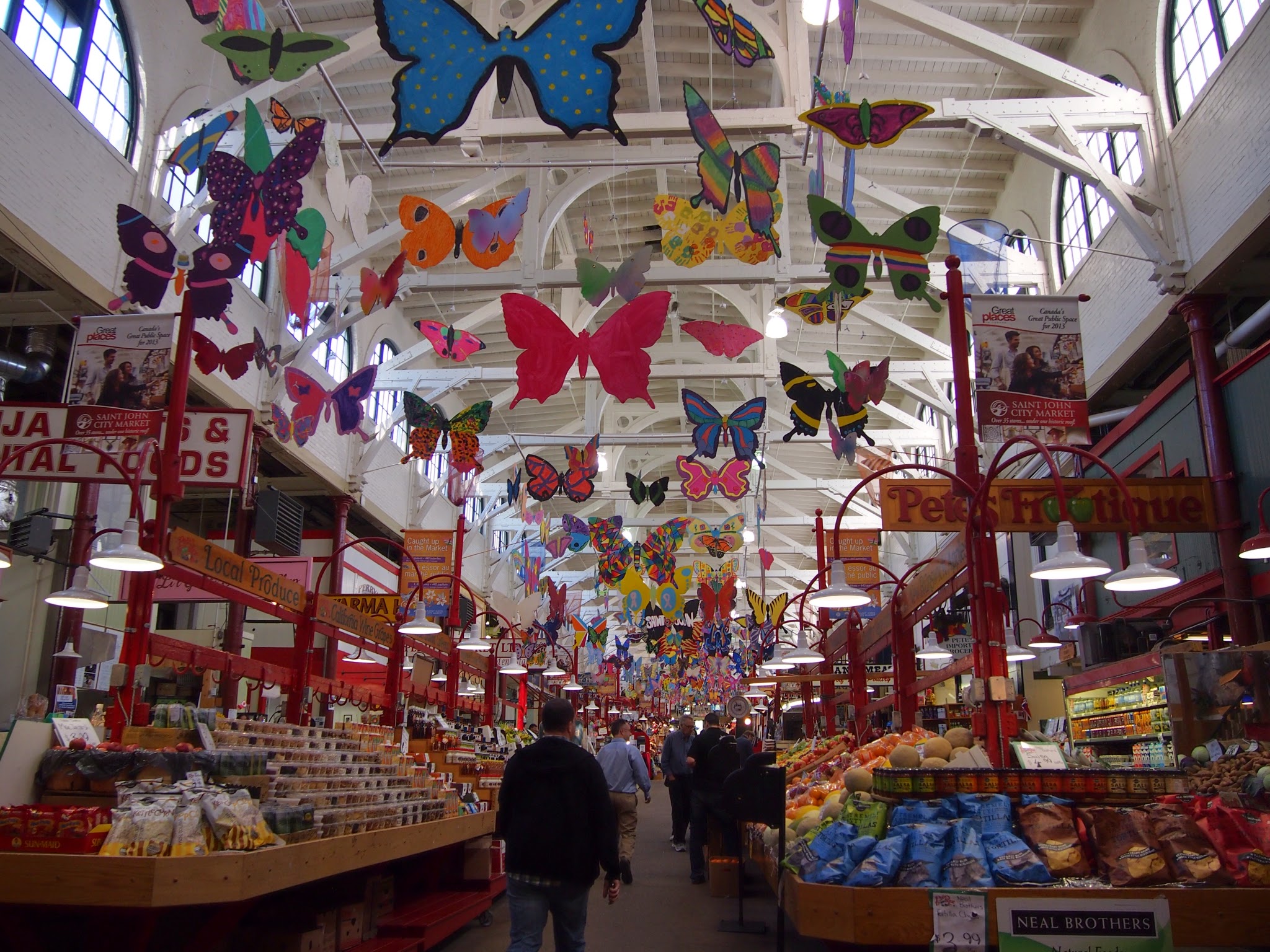
Buoyed by our good fortune, we walked downtown to take in the farmer’s market and find a place to eat dinner. The market claims to be the oldest continually operated market in North America. We were appropriately skeptical, as 1876 didn’t exactly impress us. It was, nonetheless, a very agreeable place. One of the vendors had us try dulse from Grand Manan island. It’s a dried seaweed that tastes like an exceptionally mild nori. Jim enjoyed it.
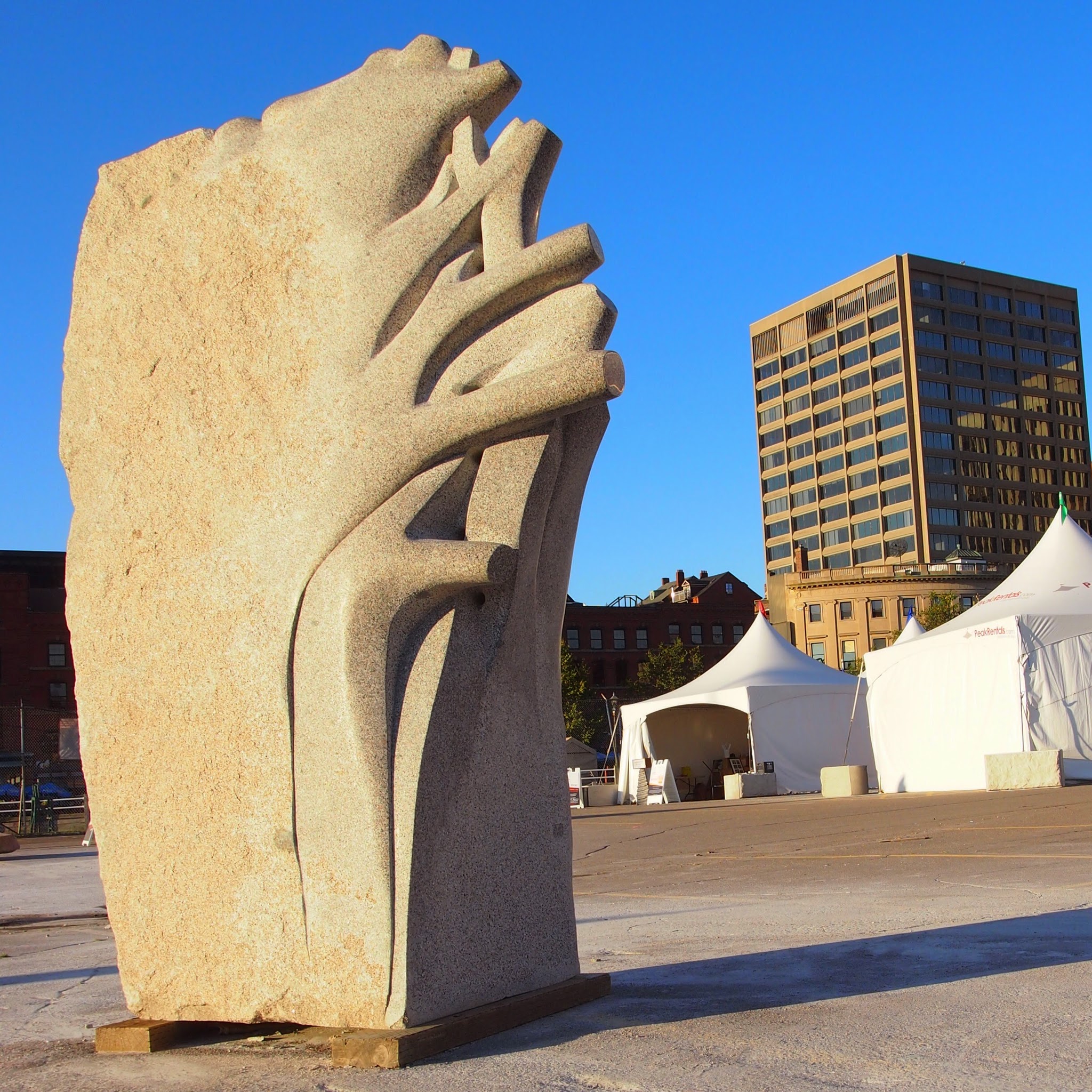
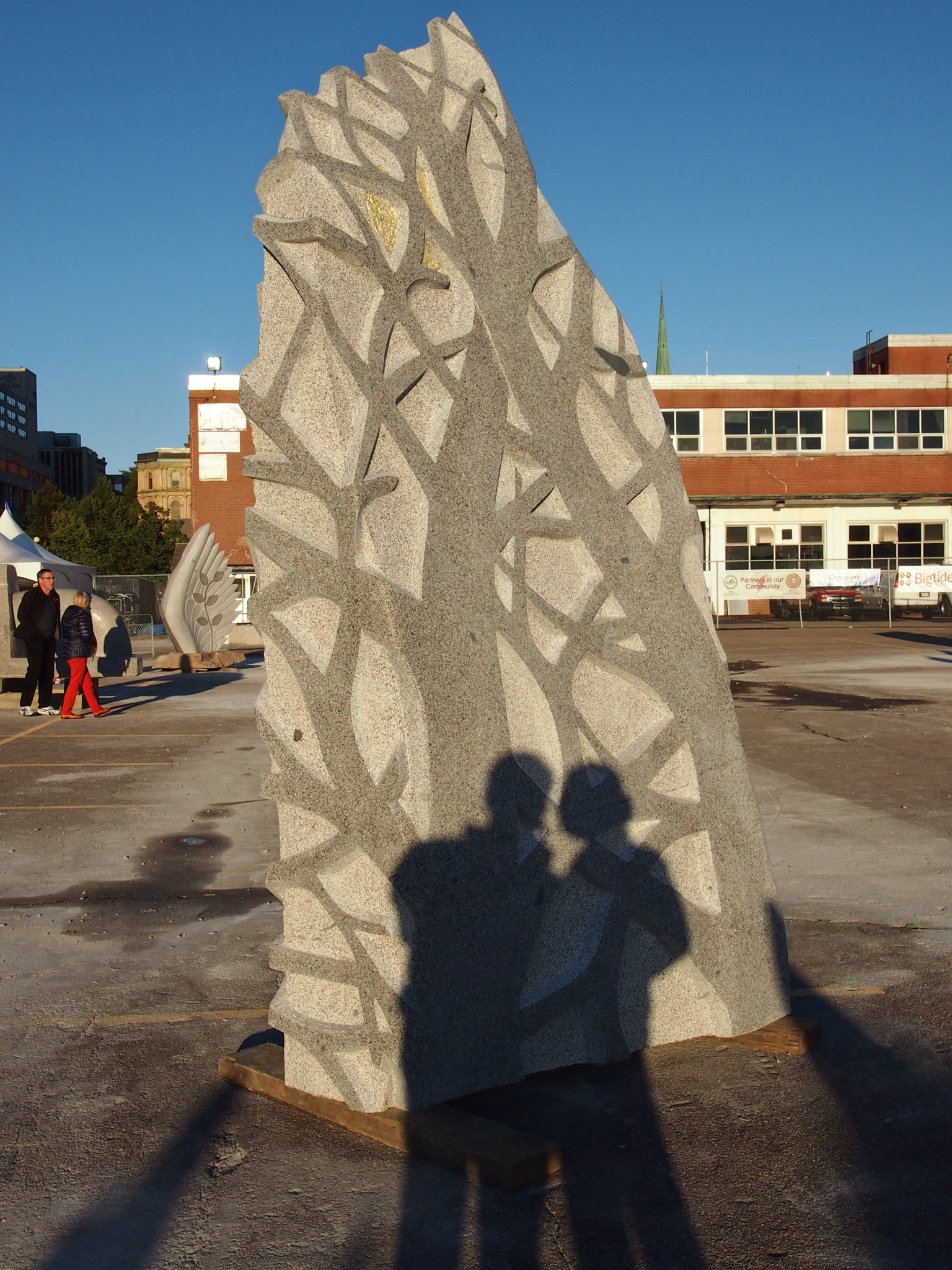
As shadows lengthened on the day, we stumbled on St. John’s second international sculpture symposium. They brought in eight sculptors from Europe, Asia and Canada who created work onsite for the city’s “International Sculpture Trail.” We arrived just as they were finishing up. These were our favorites.
The next morning we crossed the border again, re entering a more familiar world with more traffic but fewer moose, ending a fabulous adventure.