Berlin: Day Three

A whole area of the Pergamon Museum was just closed – until 2019 – the area housing the famous Pergamon Altar, for which the museum is named. Thank goodness! Otherwise, we’d really be suffering from museum overload. There was enough jaw-dropping material remaining to keep us fully engaged. We’ve included a scant sampling with no real detail (because we’re not taking notes, sorry!).

King Nebuchadnezzar built a massive processional way and entrance gate for the city of Babylon, the Ishtar Gate, around 575 BC. Ishtar is a Babylonian goddess of some sort. This was one of eight gates. Impressive.
This mihrab or Islamic prayer niche is, we would guess, ten or twelve feet tall. It is, of course, the focal point for prayer and certainly creates an impression conducive to sublime meditation.
This is the earliest known example of writing that is not cuneiform. It is a Semitic writing that is the ancestor of Greek, Arabic, and Roman writing.
In the Neues Museum, next to the Pergamon, there are a few “must see” objects. One of them is a late Bronze Age (probably around 1000 to 800 BC) hammered gold cone shaped hat filled with power enhancing knowledge, like a 19 year calendar that successfully ties together the solar and lunar calendars. There are four such hats discovered to date, although cone shaped magical hats are apparently known in a number of cultures.

For a change of pace, we visited the East Side Gallery, an area of the Berlin Wall covered with street art. “The Kiss” between Gorbachev and Honecker is a classic. It was a little more difficult making the trip to see this than expected because one of the train systems was closed due to a strike. Oh, well.

After our daytime adventures, we headed to Gendarmenmarkt and Fassenbender & Rauch who bill themselves as the largest chocolatier in the world. Upstairs is a cafe where all of the menu items incorporate chocolate. Some menu items are more successful than others, but we thoroughly enjoyed our pre-concert dinner.

(Full room)

After dinner we walked over to the Konzerthaus to hear Ivan Fischer conducting the Konzerthausorchester Berlin in Schubert’s “Great” Symphony in C Major. Much to our surprise, this was a symphony in the round with audience members interspersed among the orchestra on the floor of the hall. We spoke with the violinist behind us and learned that this was, in fact, the first time they had ever done such a thing. Everyone seemed to enjoy it. We certainly did, although – as one might expect – the balance of instruments was tilted towards whoever sat closest to you. We got a lot of double bass and first violin. Of course, the antiphonal effect was amazing. Fischer gave a talk before each movement and responded to comments on social media at the conclusion. This was all lost on us since it was in German. Directly in front of us, in the press section, a woman was doing what – for want of a better term – we’d call automatic drawing. She had large sheets of paper on her lap and moved a pencil around the paper in response to the music. At times it was as if she were frenetically bowing a phantom instrument. Unfortunately, she didn’t know the score and would get caught up in something that didn’t shift in time with the music. A strange phenomenon to add to our entertainment. All in all, a lot of fun.


Berlin: Day Two

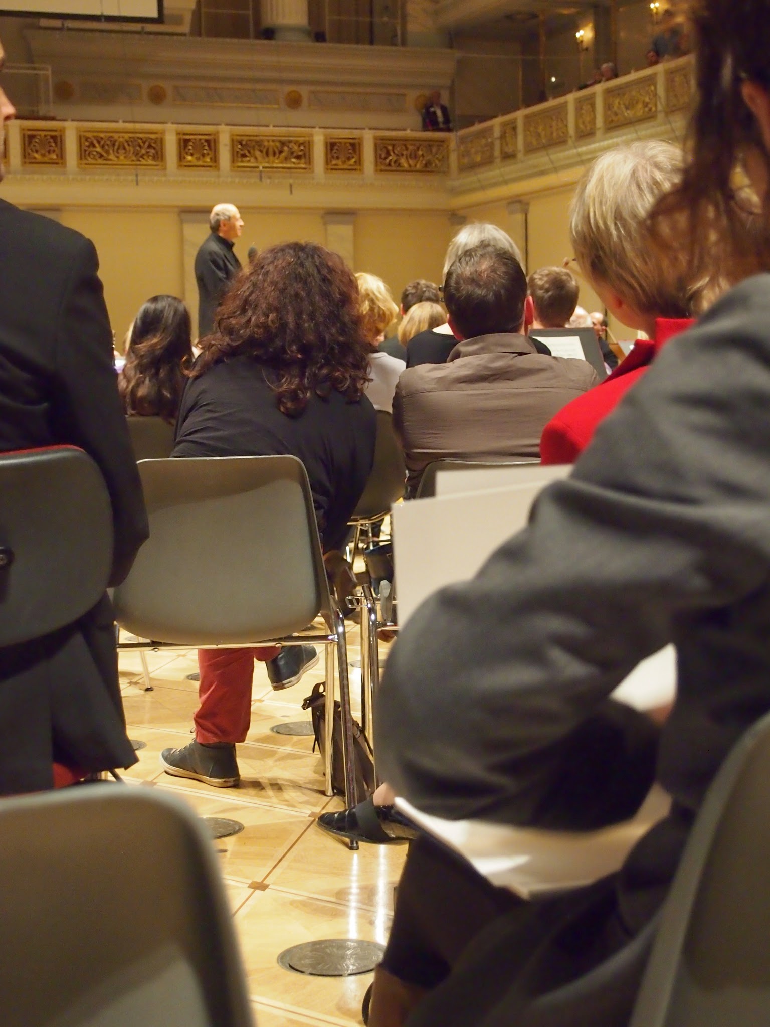
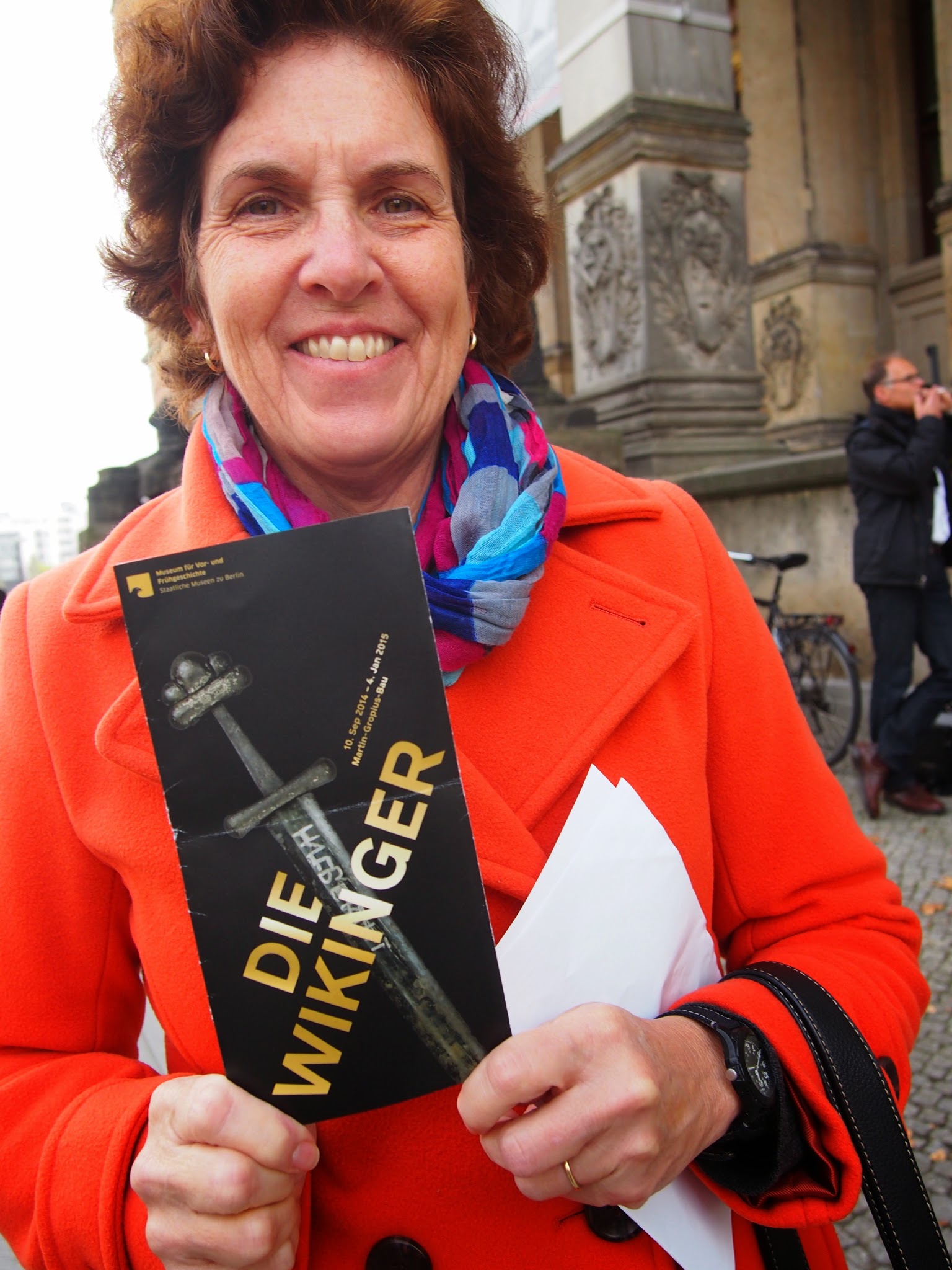
Ah . . . the initial motivation for our trip to Berlin, an exhibit put together by the Danish National Museum, the British Museum and the Martin-Gropius-Bau Museum here in Berlin. As photos were not permitted, words will have to suffice.

As we pointed out in our post from L’Anse Aux Meadow, the Vikings have been reappraised in recent years. They are no longer seen by scholars as merely bloodthirsty debauchers, pillagers, rapists and all-around scoundrels. That was apparently the norm in those days and, in any case, it was their enemies who wrote their history. They are now recognized as having had a well-established and capable society that held sway over a very considerable area for a few hundred years.

They came to control Ladoga in present day Russia and were invited by the Russian princes to establish control over what were fractious Russian tribes, founding what became the Rurik Dynasty of the Kievan Rus’ (see our postings from Russia). They provided the guard to the Byzantine emperors (the Varangian Guard). They founded the first towns in Ireland (and, we’re told, are responsible for the red-headed among the Irish). They, as we all know, established at least one base camp in North America. And, without the Vikings, how could Wagner have written The Ride of the Valkyries? Need we say more?

By the way, we do have one correction to a prior post from Newfoundland. We reported that, according to our Parks Canada interpreter, only one metal Viking helmet had ever been unearthed. We saw three in the exhibit, although we can confirm that they did not have horns. There was one skull with teeth filed down to provide a fearsome impression, but that’s not unique among the world’s peoples. There were also a lot of swords, including Ulfberht swords. These Frankish swords were the best money could buy in the 9th century and were favored by the Vikings. Sometimes their enemies would dig up the graves of Viking warriors just to have the best in modern weaponry.

You just might think there’s a conspiracy to bring the Vikings back to full respectability or perhaps mount a campaign to take over the world in their name when you realize that something you use every day is named after the king who united the Danish tribes and converted them to Christianity. The Bluetooth logo is a combination of the runes used to create the initials of none other than Harald Bluetooth (died 985).

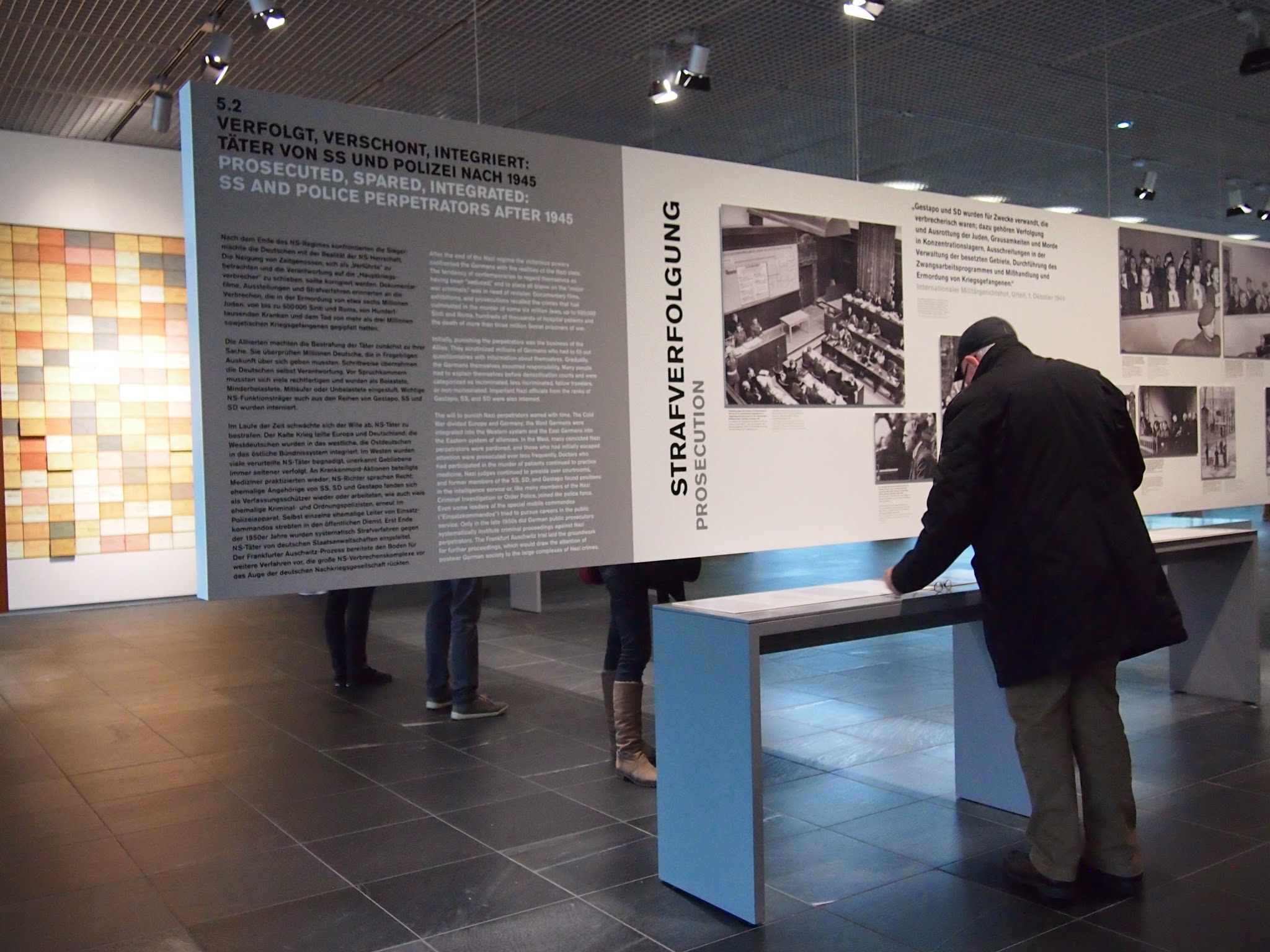
We went next door to the museum built on the site of Gestapo headquarters to become immersed in true evil. The Topographie Des Terrors demands a lot of reading and studying seemingly countless photographs documenting the rise of Hitler and the SS. It is horrifying to see photograph after photograph of both cheering crowds and of people lined up for processing or execution or detention, middle-aged men in suits, some portly and some thin, with their arms raised facing a wall or of village women and children tied to ropes held casually by soldiers pausing for a photo op. A lot of people were making their way patiently and soberly through the exhibits. There were groups of school children and a few foreigners, but mostly Germans reading intently. It makes you wonder whether the rest of us will continue to remember the lessons of the twentieth century.

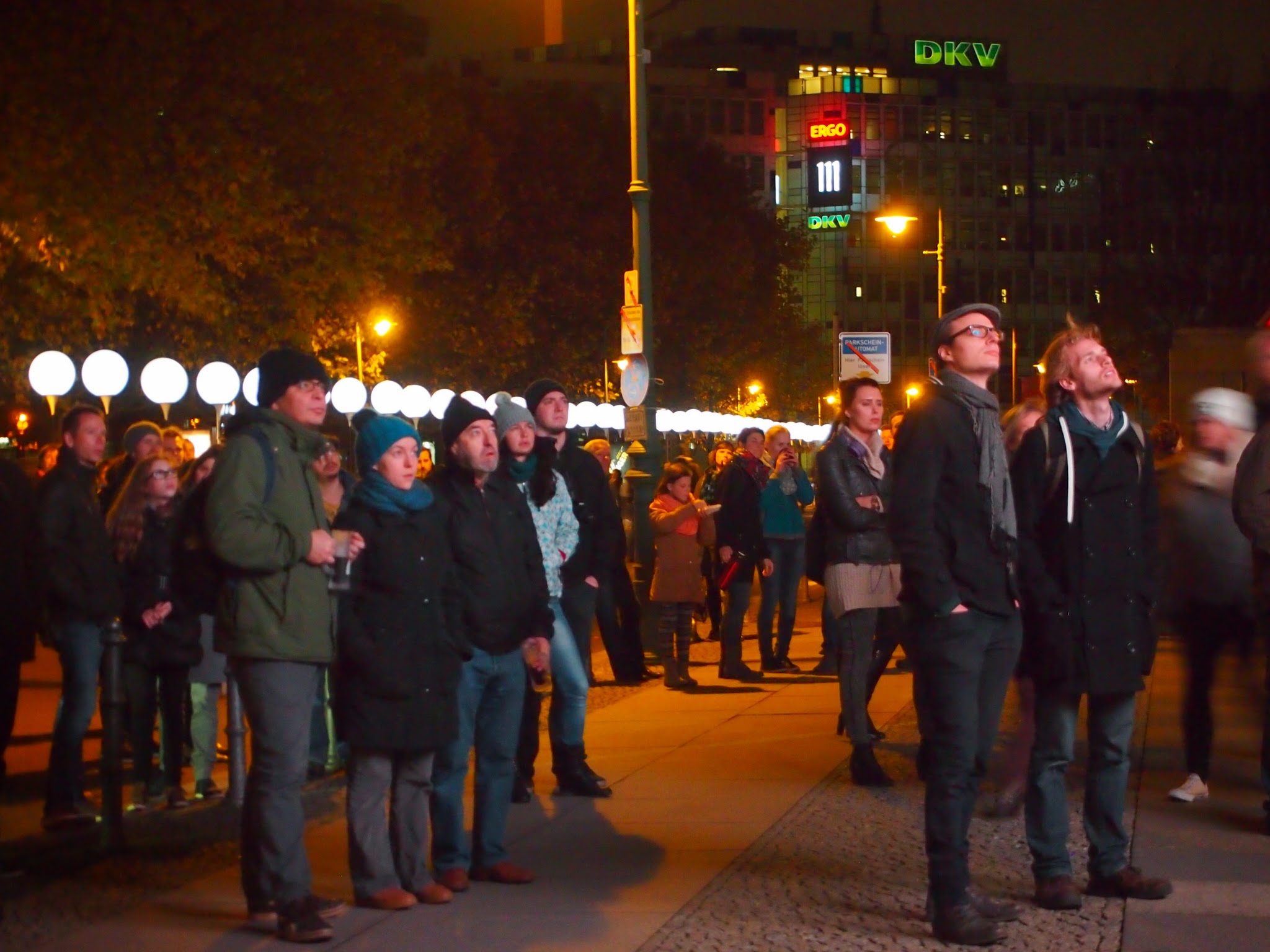
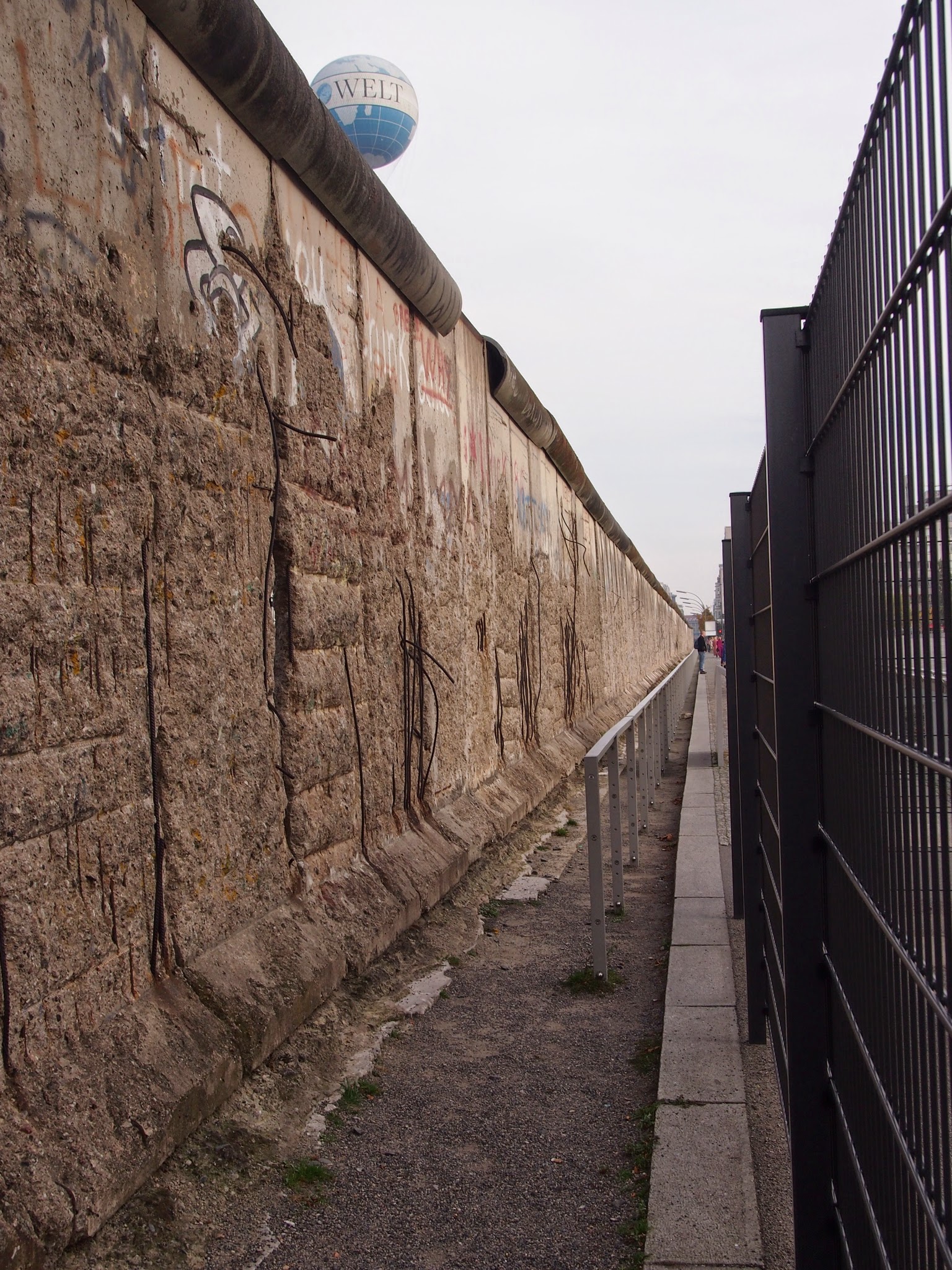
In front of the Terror museum a block long section of the Berlin Wall has been preserved and we found a preserved East German guard tower near Potsdamer Platz. One grim period followed another, although we are beginning to find opportunities for humor in thinking about the division of the city and of the country until just 25 years ago. In comparison, it is a lesser wound to heal. Nonetheless, the partition of Germany was certainly not a time to recall with affection.

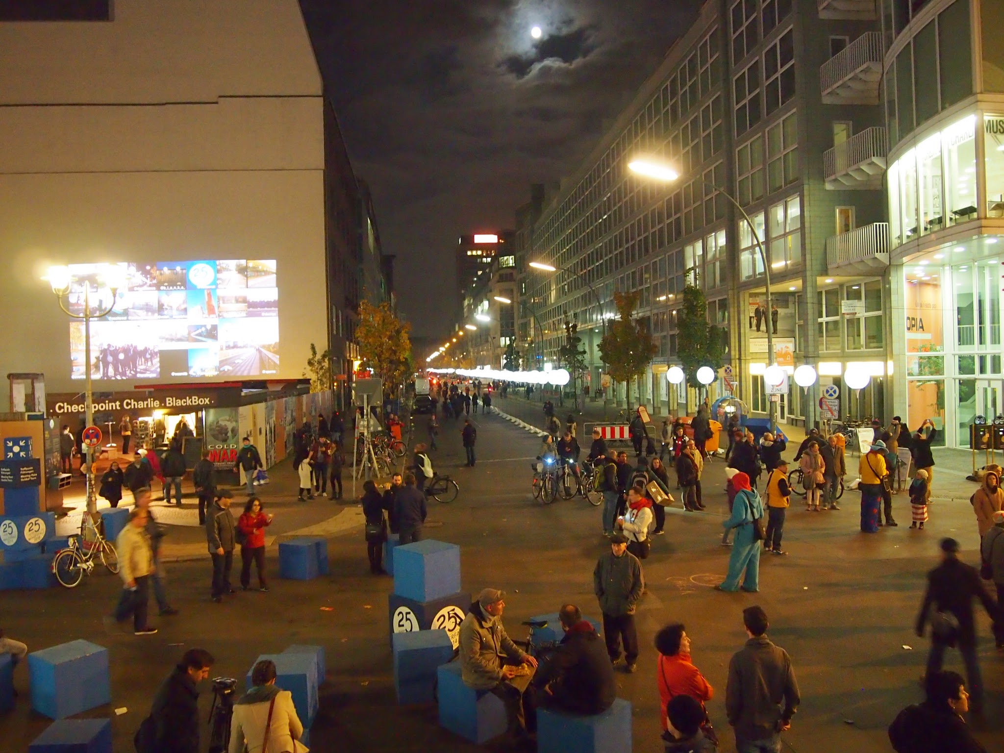
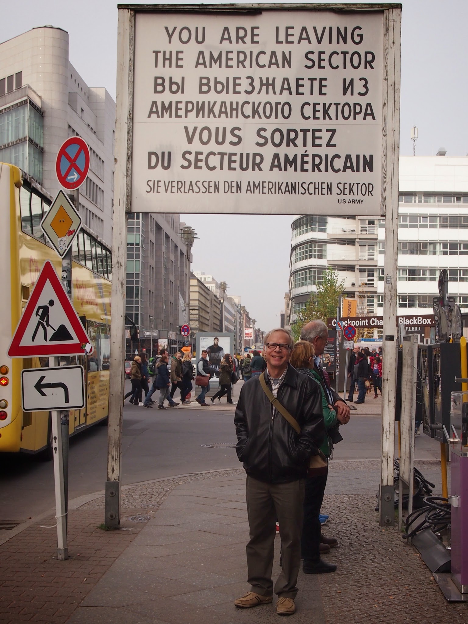
Down the street is Checkpoint Charlie, the most famous crossing point between East and West Berlin during the occupation. It was a frightening place in those days with incredible anxiety on both sides. Many Germans died trying to escape to the west over the wall and this was one of the few ways to make it through without being killed.

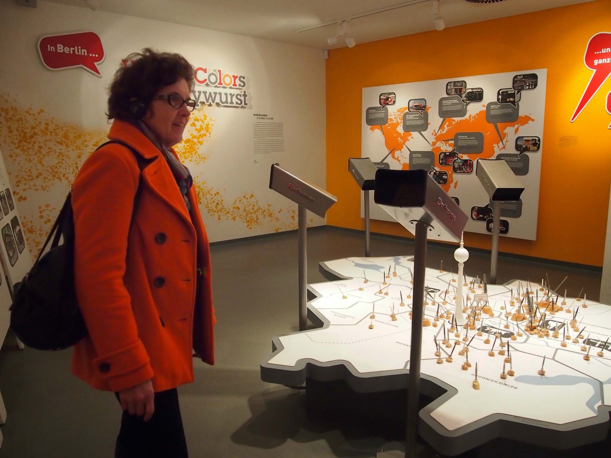
The Currywurst Museum is a short walk from Checkpoint Charlie. It is a delightful celebration of a very popular street food. What, you may ask, is currywurst? In brief, it is slices of sausage topped with a tomato/curry sauce that you eat with a tiny fork off a paper plate. It’s quite delicious. The museum cleverly intertwines stealth history lessons in their kitchy presentation.
It seems that currywurst was invented during the Russian blockade of West Berlin, during the time of hardship when provisions of any kind were hard to come by and cigarettes were the currency. A housewife experimented with tomato sauce and the British curry powder no German had a use for and ended up opening a small chain of currywurst stands.
To round out the day, we made our way to KaDeWe (“caw day vay”), the famous Berlin department store. The food emporium is on the sixth floor and has a series of little cafe bars. We perched on the stools at one to rest ourselves and enjoy some cappuccinos and a lovely German pastry before taking the U-Bahn to the stop near our hotel. So far, Berlin has been living up to its reputation as a dynamic and accessible city filled with a fascinating mix of people. We’re enjoying being part of that mix.


Berlin: Day One

At long last, Berlin! Having moved from Europe in 1988, before the fall of the Berlin Wall, we had never visited Berlin. Newly inspired, we decided to take a few days to correct our oversight. And, what better time than the 25th anniversary of German reunification. Here in all it’s nighttime glory is the Brandenburg Gate. Built at the end of the 18th century, victorious armies marched through it up through 1945 when the Soviet Army captured Berlin. The chariot and horses were, along with much of Berlin, destroyed in the war. Fortunately, the molds were found and new statutes cast by the Russians.

As we leave Berlin, there will be major celebrations and we noticed large stages being constructed on the side of the gate away from Unter Den Linden. We got a good look at the extent of it from the Reichstag Dome.

Built at the end of the 19th century, the Reichstag is best known outside of Germany as having been burnt down. In 1933, an arsonist caused major damage to the building and the Nazis used the incident as an excuse to pass very repressive legislation that helped them consolidate power. They rebuilt it, it was destroyed in the war and has been rebuilt yet again. This time, a British architect helped them spiff it up and create a major tourist attraction by adding an amazing glass dome. It features a moving sun shield, a ten meter wide hole in the top for ventilation and a mirrored cone in a passive solar system, and symbolizes the principle that the people are above the government.

The Bundestag, of course, meets in the Reichstag and this is their debating chamber. We, the people, certainly have a dizzying view of democracy at work.

Across to New Brunswick and the Bay of Fundy

We decided to take the Confederation Bridge from PEI to New Brunswick. It’s an impressive 8 miles long and was built for a billion dollars in the early 1990s. Before it was named, people from PEI referred to it as “the fixed link,” for obvious reasons. The name “Confederation Bridge” honors the leading role PEI played in getting the various British colonies north of the US to organize themselves into what is now the independent Dominion of Canada.

Once over the bridge, we made a beeline for Hopewell Rocks, where the difference in tide levels in the Bay of Fundy can be easily seen among some really interesting rock formations. Yes, those are people down there in the first photo. We then returned the following morning to snap the second photo at high tide on our way down along the coast of the bay. Of course, we’re used to big tides and those at the Bay of Fundy vary in size just like everywhere else. The ebb and flow of water always creates interesting terrain.

And, we did enjoy walking among the rock formations at low tide. It was like we were in the land of the giants.

The mud flats also looked pretty amazing from the vantage point above the bay, oozy and plastic and glistening under an ominous sky.

But, let’s face it – some things in life are underwhelming. We made a reservation at a hotel right along the river in Moncton where you can see the “tidal bore.” We had read about it and been told that people can surf on the wave created when the tide reverses and, basically, pushes the river upstream. So, we stood out on the deck of the hotel overlooking the river in good time to see this effect, joining a man from St. John’s, Newfoundland, who had watched it a number of times before. It was fortunate we were talking with him, because we might otherwise have missed it. Alas, it was like waiting for the big parade and finding that only the dance schools showed up to march in it. We’re told that sometimes there is a bigger effect. That’s okay. Of course, it was kind of fun in its own way and it was a beautiful brisk evening. We were also feeling good about the meal we had just come from in neighboring Dieppe, even deeper into francophone New Brunswick. As we enjoyed our crepes francaise followed by our dessert crepes, we couldn’t help but overhear bits of the bewildering conversation at the table next to us between two twenty-something Acadian women. To us, it sounded like the sort of secret language twins sometimes adopt. It hopscotched among what we recognized as somewhat standard French to a sort of French patois to perfectly accented standard English. We later noticed in watching TV that the news anchors spoke a proper Parisian French, but the reporters did not. Fascinating.

From Moncton, we drove back to Hopewell Cape for the photo of the mostly submerged rocks and then went into Fundy National Park for a few hikes.

The signage said that in the time since the Park Service had built the boardwalk and viewing platform that got us this far into the bog, they had pulled two moose out of the muck at this spot. When the 4 meter thick peat decays, it has the same effect as quicksand.

Once we got to St. John, we checked in at our hotel and found that because of multiple conventions in town they were fully booked and had decided to upgrade us to the Presidential Suite. If only it were the Four Seasons, rather than Holiday Inn Express!

Buoyed by our good fortune, we walked downtown to take in the farmer’s market and find a place to eat dinner. The market claims to be the oldest continually operated market in North America. We were appropriately skeptical, as 1876 didn’t exactly impress us. It was, nonetheless, a very agreeable place. One of the vendors had us try dulse from Grand Manan island. It’s a dried seaweed that tastes like an exceptionally mild nori. Jim enjoyed it.

As shadows lengthened on the day, we stumbled on St. John’s second international sculpture symposium. They brought in eight sculptors from Europe, Asia and Canada who created work onsite for the city’s “International Sculpture Trail.” We arrived just as they were finishing up. These were our favorites.
The next morning we crossed the border again, re entering a more familiar world with more traffic but fewer moose, ending a fabulous adventure.

PEI

On our way to catch the ferry from Caribou, Nova Scotia, to Wood Islands, Prince Edward Island, we stopped by to see the reproduction of the Hector, famous as the ship that began the substantial migration from Scotland resulting, for a time, in the provinces of Nova Scotia and PEI being predominantly Gaelic speaking. Its 1773 voyage with 189 colonists followed a similar voyage with Scottish immigrants to Boston. Amanda’s father’s family reputedly immigrated to Louisiana from Scotland, by way of Canada, so we looked for the Buchanan tartan, among the tartans adorning the lamp posts in the town.

The biggest surprises about PEI were just how much of a farming community it is and how big a role Anne of Green Gables plays in the tourist economy (and what it means to be Canadian). Setting out on our drive from the ferry port to Charlottetown, we were struck with how much the island looked like an idealized and even more rural Lancaster County, PA. The rolling fields were quite beautiful and very prosperous looking. Agriculture is a very big part of the economy of the province. It also fits in well with the spirit of Anne, the spunky heroine of a series of books that even Mark Twain admired. We checked out the musical version during our first evening in Charlottetown. Above a tourist adorns a straw hat with red pigtails (Anne’s signature look) to pose in front of her childhood home, now a national park site.

With such an abundance of seafood, we decided to eat our way around PEI. We started with excellent lobster rolls for lunch down at the harbor when we arrived in Charlottetown. For dinner, we went to a small family-run restaurant downtown for mussels and oysters. Lunch the next day was at a little restaurant along the road in St. Peter’s where we had a curried seafood chowder and fried scallop sandwich, followed by a late afternoon snack of Malpeque oysters at Stanley Bridge (above), and a dinner with grilled scallops and smoked salmon. Yum, indeed!

The Canadians really know how to build walkways. This half-mile long boardwalk mostly floated on the pond and was anchored with large chains.
These are “parabolic dunes,” shaped by the wind. The crescent shape is due to the wind consistently blowing in one direction and the dune being somewhat anchored by vegetation. There are also parabolic dunes in the Provincelands on Cape Cod.
Yes, the sand is red.
We followed our usual habit of hiking in the National Parks we drove through, this time Prince Edward Island National Park, with its red sand and crumbling cliffs. Except for the red part, it reminded us a bit of Cape Cod.
We were told that PEI has the warmest saltwater north of the Carolinas. Contradicting this, we dropped in and talked for a while with a man running a shellfish store at Stanley Bridge who maintained that the Malpeque oysters are superior to anything down where we live because the waters at PEI are colder. He shucked two enormous oysters for us to try. We had to admit that the oysters are exceptionally good and may have a more interesting taste profile than our Wellfleet oysters, although we quibbled that PEI mussels are rather small compared to the ones we used to enjoy in Belgium. He told us that they don’t let the PEI mussels grow out any bigger because they develop pearls. That’s a shame. So, we give very high marks to the PEI Malpeque oysters, but still prefer Zeeland mussels. With that, we headed back to Charlottetown.

Cape Breton National Park & the Cabot Trail

After spending the night in Louisbourg, we headed back across the island to the Cabot Trail and Cape Breton National Park for a day of harrowing driving and pleasant hikes. Cape Breton in different communities has bilingual signage, some in French & English for the French Acadians (like our guide in Louisbourg) and others in Gaelic & English.
Rather graphic warning signs, don’t you think?

” This is the forest primeval. The murmuring pines and the hemlocks,

Bearded with moss, and in garments green, indistinct in the twilight,

Stand like Druids of eld, with voices sad and prophetic,

Stand like harpers hoar, with beards that rest on their bosoms.

Loud from its rocky caverns, the deep-voiced neighboring ocean

Speaks, and in accents disconsolate answers the wail of the forest. “

You may recognize this opening stanza from Longfellow’s epic poem Evangeline, his telling of the story of the expulsion of the Acadians. His version of the story puts the blame squarely on the British, although we now have to acknowledge that it was just as much the New Englanders who were behind it.

Cape Breton Island has water everywhere. In addition to being surrounded by it, it has interior bays and lakes that bisect it and rivers and lakes throughout. We hope enjoyed the abundance of pictures today. Our hotel had an incredibly fast internet connection (for a hotel), so we went overboard. Tomorrow, we go back over the causeway to mainland Nova Scotia and make our way to the ferry to Prince Edward Island.

Louisbourg

The French and the British – where do we start in talking about them? They were at each other’s throats for hundreds of years. The French got off to a stronger start in building a stake in North America, but lost out in the end, except for two tiny islands off Newfoundland. But, the Fortress at Louisbourg played an interesting role in their dramas.

Founded in 1713, Louisbourg was a key transit point for the North Atlantic trade. Many ships would make for Louisbourg from Europe and then make their way down the coast to Boston, New York and Philadelphia. So, it was of tremendous strategic importance and there were impressive fortifications around the 2 1/2 to 3 mile circumference.

Indeed, there was a lot of unease among the British colonists in what are now the New England and Middle Atlantic states over the strength of the French fortress at Louisbourg and the threat posed by Catholic France to the colonists’ interests in fishing, trade and religion. It was the Province of Massachusetts Bay’s legislature that led a coalition of colonies (including New York, New Jersey, Rhode Island, Pennsylvania, Connecticut and New Hampshire) to form and provision an army and a naval force to attack the fortress. As part of the War of the Austrian Succession or King George’s War the New England coalition laid siege to the imposing fortress and succeeded in forcing a capitulation in 1745. Three years later, much to the annoyance of the British colonists, Britain traded Louisbourg back to the French. Then, in 1758 the British themselves laid siege to the fortress and laid it to ruin. Although the French seemed to be able to thrive in the harsh environment, the British detested the place and had no interest in allowing it to again become strategically important.

In the 1960s the Cape Breton mines closed and, to help provide jobs, development funds were found to reconstruct about 1/5 of the Fortress and furnish many of the buildings based on architectural drawings, archeology, and such documentation as household inventories. Today, it is a National Historic Site run by Parks Canada.

The Governor’s Apartments in the King’s Bastion, as well as many properties throughout the reconstruction, have costumed interpreters to bring the fortress to life.

Quite a number of artifacts have been returned to the fortress, including this cross looted in 1745 that is now on loan from Harvard University.

As for us, it was our only consistently miserable day so far. Despite the blowing rain, the Fortress of Louisbourg was a very interesting place to visit, filled with interpreters eager to share their early 18th century perspective.

We returned in the evening after the weather had started to clear to take a look at the lighthouse that was difficult to see during the day. What you see is the third lighthouse on the same site. The original structure was the first lighthouse in Canada. It was built between 1730 and 1734 to guide ships to the fortress.

Cape St. Mary’s Ecological Reserve

On our way to Cape St. Mary’s we were keeping an eye out for moose along the road way. When we mentioned this at the interpretation center it was explained that this was the most southerly tundra and hence not appealing to moose. We did however see a pair about to cross the road shortly after we left the sanctuary and the tundra environment. Unhappy moose encounters are a big cause of accidents up here. We drove through two automated moose detection zones on the highway where lights are to flash when a moose is detected on the roadway. Of course, both of the zones were “out of order.” But, sorry, back to Cape St. Mary’s, the reason for the route we chose to take the ferry at Argentia.

The sheep allowed to graze on the reserve mean that you must watch your step for an additional reason as you make your way on the footpaths along the tops of the cliffs. The young man in the gift shop rolled his eyes as he confirmed that, contrary to the online commentary, the sheep are not wild. Please! And, nobody comes to Cape St. Mary’s to see sheep.

This is why they come. At different times of year, you can see nesting colonies of sea birds, all stratified on the rocky islands and cliffs by species. During our visit, all that remained on “bird rock” were northern gannets. In fact, this is the most southerly of northern gannet nesting colonies – with more than 20,000 birds. It is a spectacular sight. When there are multiple bird species nesting here, it must be overwhelming. With just the gannets, the sky was thick with circling birds (and they made quite a racket).

The white birds with yellow heads are the adults. The dark birds are the fledglings. Once they learn to fly, the gannets will abandon the colony once again to the winter and return to the sea.


Cape Spear & St. John’s

Cape Spear National Historic Site features the oldest extant lighthouse in the province, restored to its 1836 splendor. Actually, it’s quite handsome and only about an hour outside of St. John’s. It must certainly afford magnificent views when not fogged in. Making our way around the steep slopes and down towards the water, the fog horn was deafening if you happened to be near the front of it when it sounded.

Some nice people also wandering around in the fog agreed to take our picture.

Fortunately, Cape Spear also has a functioning lighthouse.

Cape Spear happens to be the most easterly point in North America. Amanda made sure to properly document our achievement. The fog was beginning to lift. To go any further east, we’ll take the plane, thank you.

Back on the other side of St. John’s, Signal Hill commands the entrance to St. John’s harbor.

Below, the Queen’s Battery provides the guns . . .

. . . to guard the channel leading into the harbor. That’s Cape Spear in the distance.

Quidi Vidi is a small fishing village near St. John’s that offers both a brewery and an arts and crafts cooperative. We bought something from one of the artists. It’s nice to be traveling in September. The one lane roads must be tough going in the summer.

Spruce Grouse, Puffins & Loons

On our way east, we passed by Gander, the favored emergency landing spot for North Atlantic airtraffic and stopped to hike at Terra Nova National Park. With budget cuts to Parks Canada, the visitor center was closed, but we headed out on what turned out to be a fairly grueling loop walk that took us up and down along both a saltwater inlet and freshwater lake and over the hill in between. Along the way, we encountered a group of spruce grouse hanging out on the path.


In another out and back adventure (remember the lack of roads), we took the road out to near the end of the Bonavista peninsula to the town of Elliston, justly famous as the most likely place to see puffins from land. As we knew beforehand, it was well passed the time of year to see puffins, except for a few stragglers. So, we were pleased to see perhaps five or ten puffins on a little island close by shore with just a “tickle” of water running in between. The puffins would try to find a good landing place with a beak full of fish and be harassed by the much larger seagulls trying to steal a meal from the puffins.

Elliston also claims to be the root cellar capital of the world. As far as we could tell, they may just be unrivaled on that score. There were plenty of root cellars evident around town.

A little further out at Cape Bonavista was the nicest lighthouse we’ve ever visited. The lighthouse keeper had a prestigious position in the community and the home reflected his status. The living quarters were spacious and nicely appointed by 19th century standards. The downside was that he (or his assistant keeper) had to wind the mechanism to rotate the light every two hours during the night.

On our way back off the Bonavista peninsula, we took a detour over to Trinity. It’s one of those picture postcard, well-to-do towns with perfectly restored early 18th century houses in a gorgeous physical setting on their own cove. Hey, it was very pretty. What caught our eye were the two loons in the cove (sorry for the lack of a telephoto lens, but we value carrying a very light camera). How could we visit Canada and not see a loon?